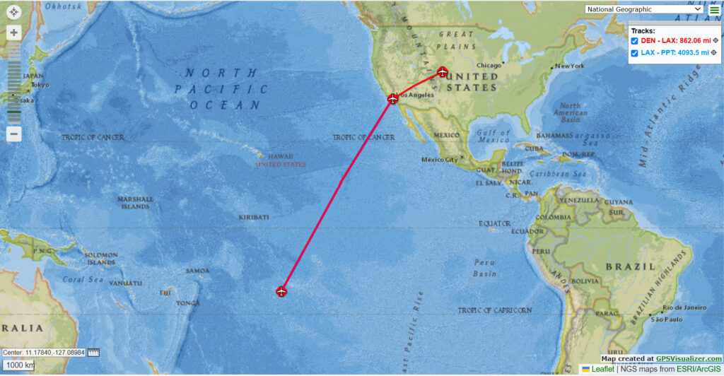
Our visit to French Polynesia was a ten day cruise on Oceana Cruise Line ship Nautica, starting in Papeete, Tahiti and visiting various islands and atolls in French Polynesia. It’s 4000 miles and 8 and a half hour flight from Los Angeles to Tahiti.
Below is a diagram of our cruise through the French Polynesian Islands
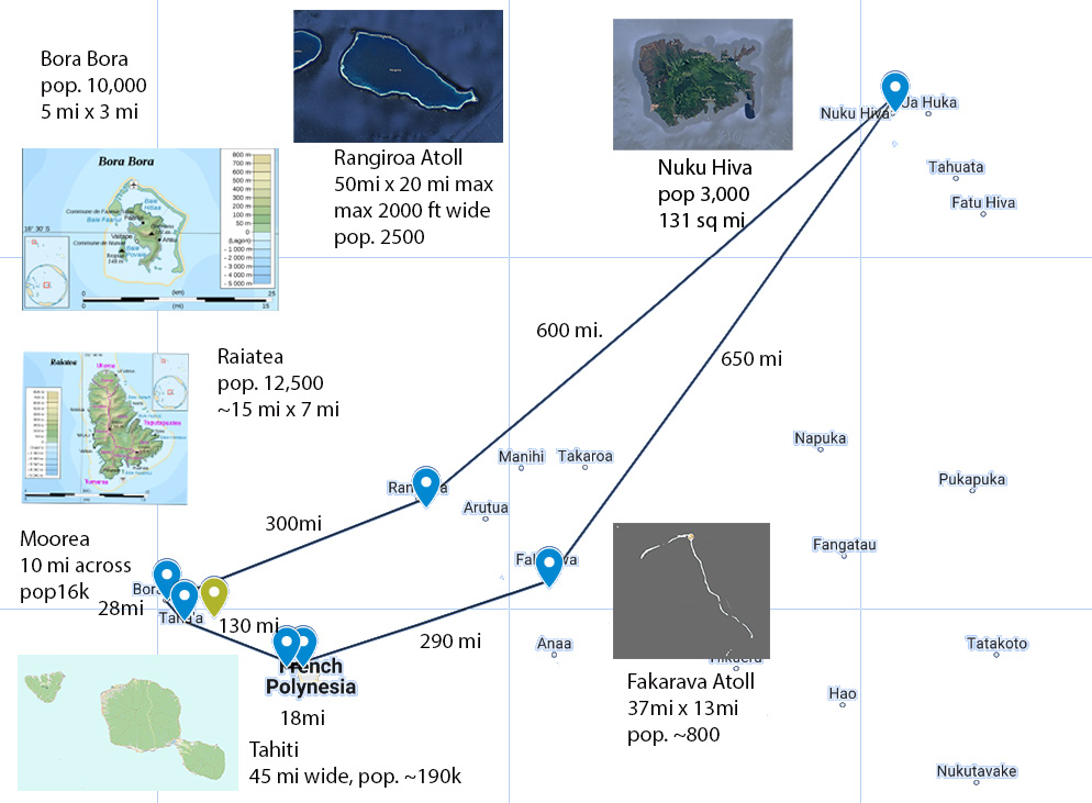
French Polynesia consists of five groups of islands: the Society Islands archipelago, the Tuamotu Archipelago, the Gambier Islands, the Marquesas Islands, and the Austral Islands. Explore each of these groups in more detail. List of all islands in French Polynesia..
Mon 2/24: Depart
From Wikipedia: Tahiti is the largest island of the Windward group of the Society Islands in French Polynesia, an overseas collectivity of France. Divided into two parts, Tahiti Nui (bigger, northwestern part) and Tahiti Iti (smaller, southeastern part), the island was formed from volcanic activity; it is high and mountainous with surrounding coral reefs. Its population in the 2022 Census recorded a population of 191,779. Tahiti is the economic, cultural, and political center of French Polynesia.
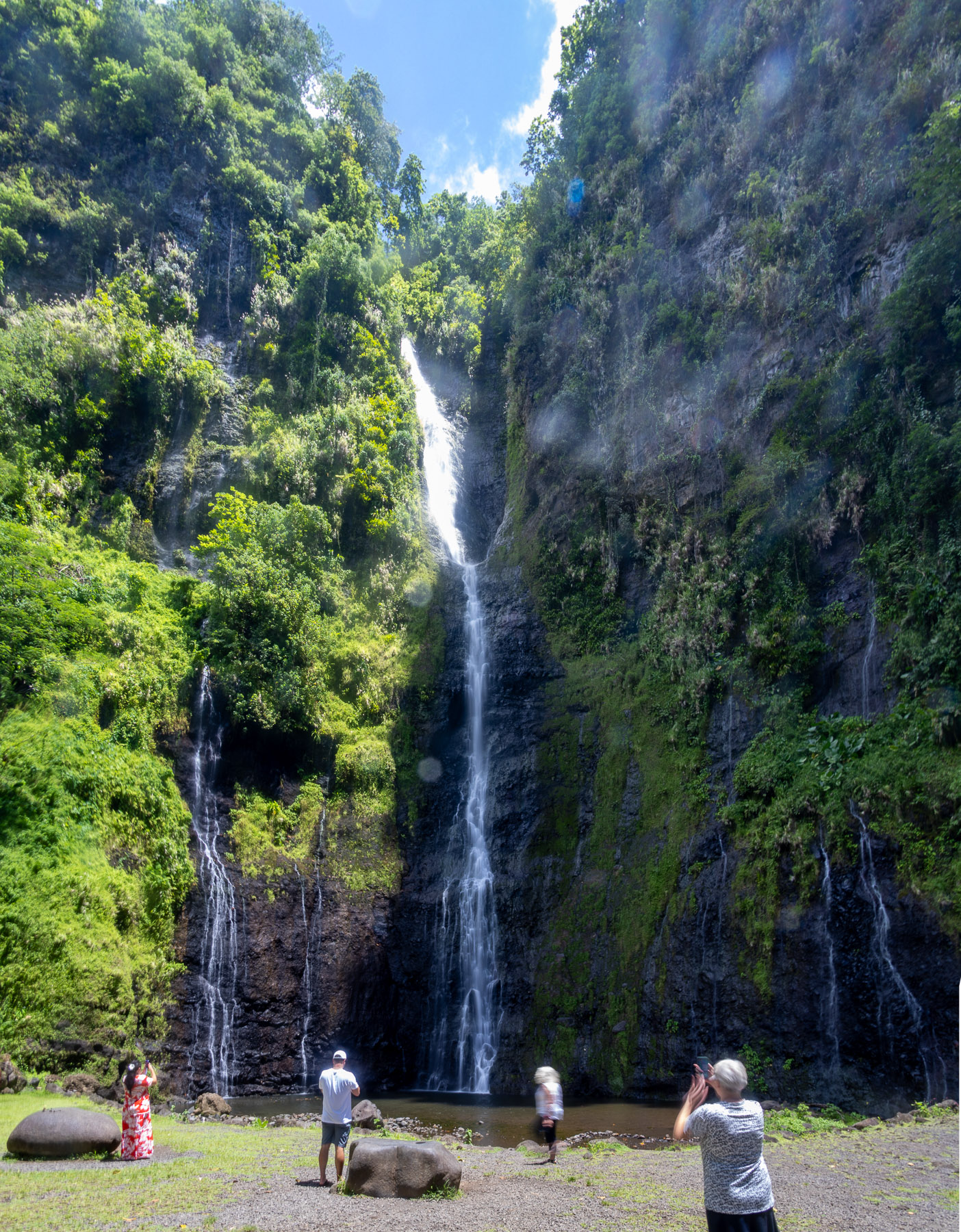
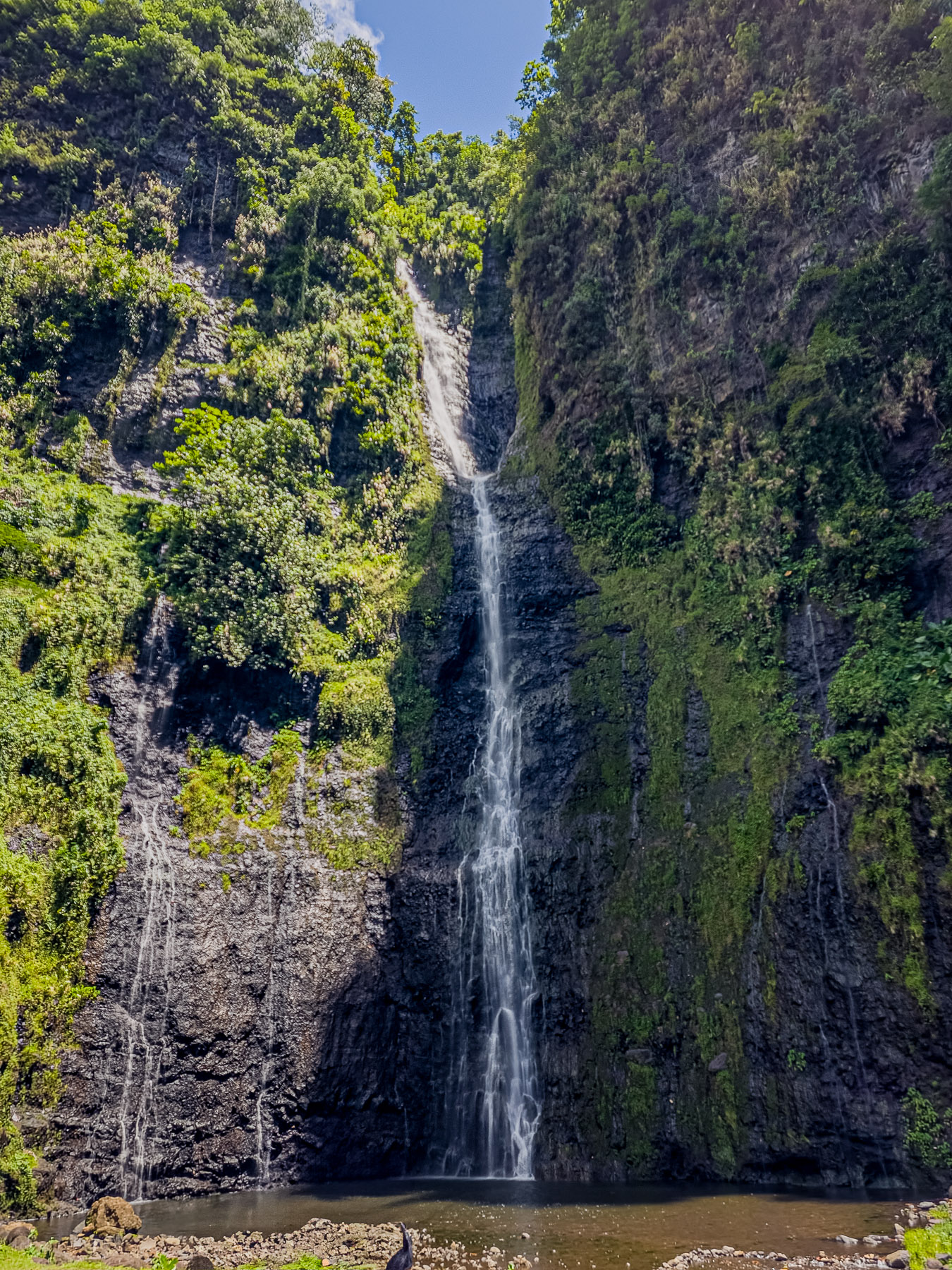
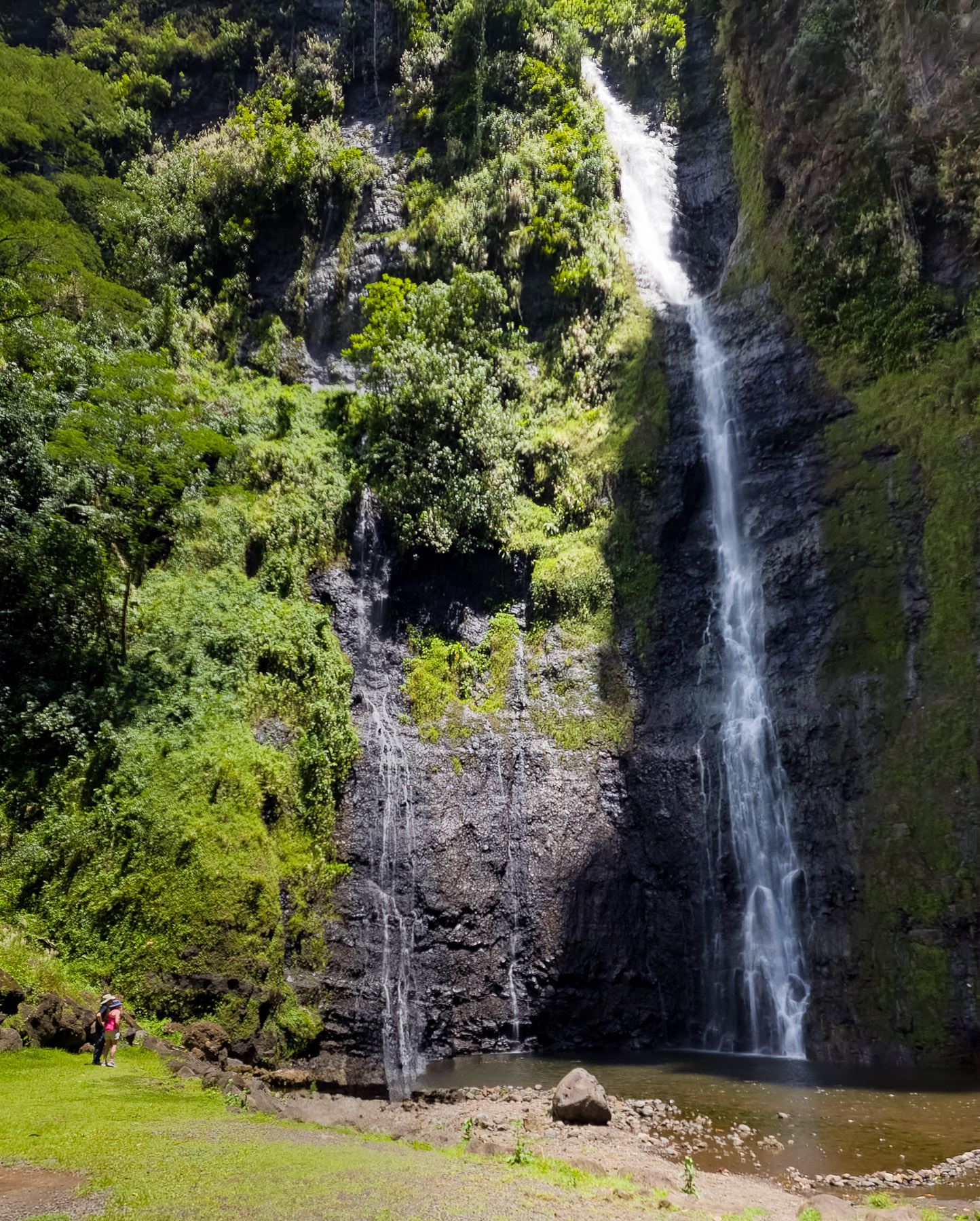
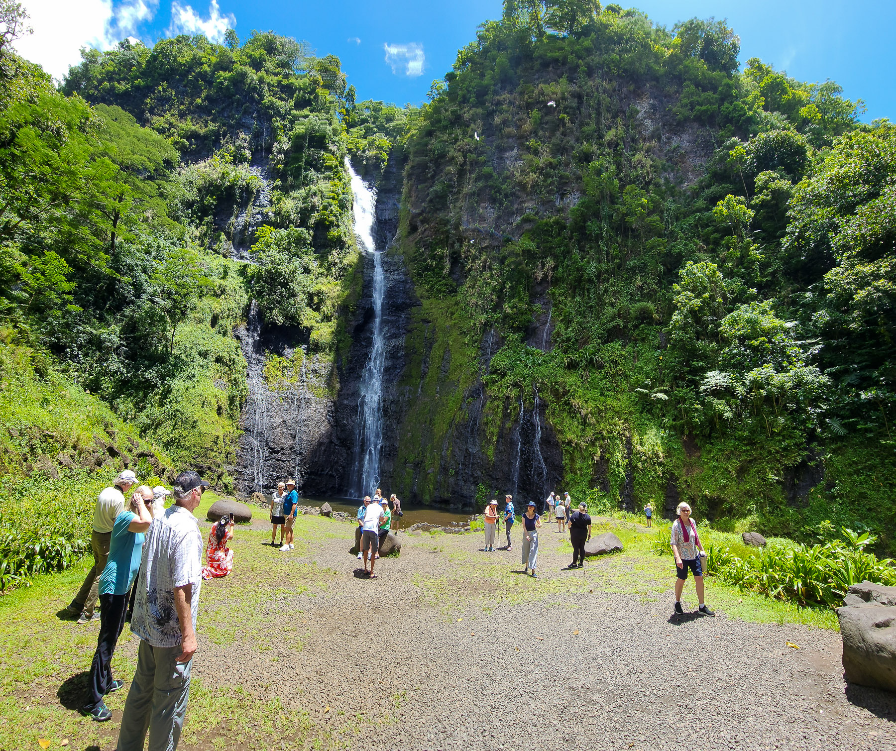
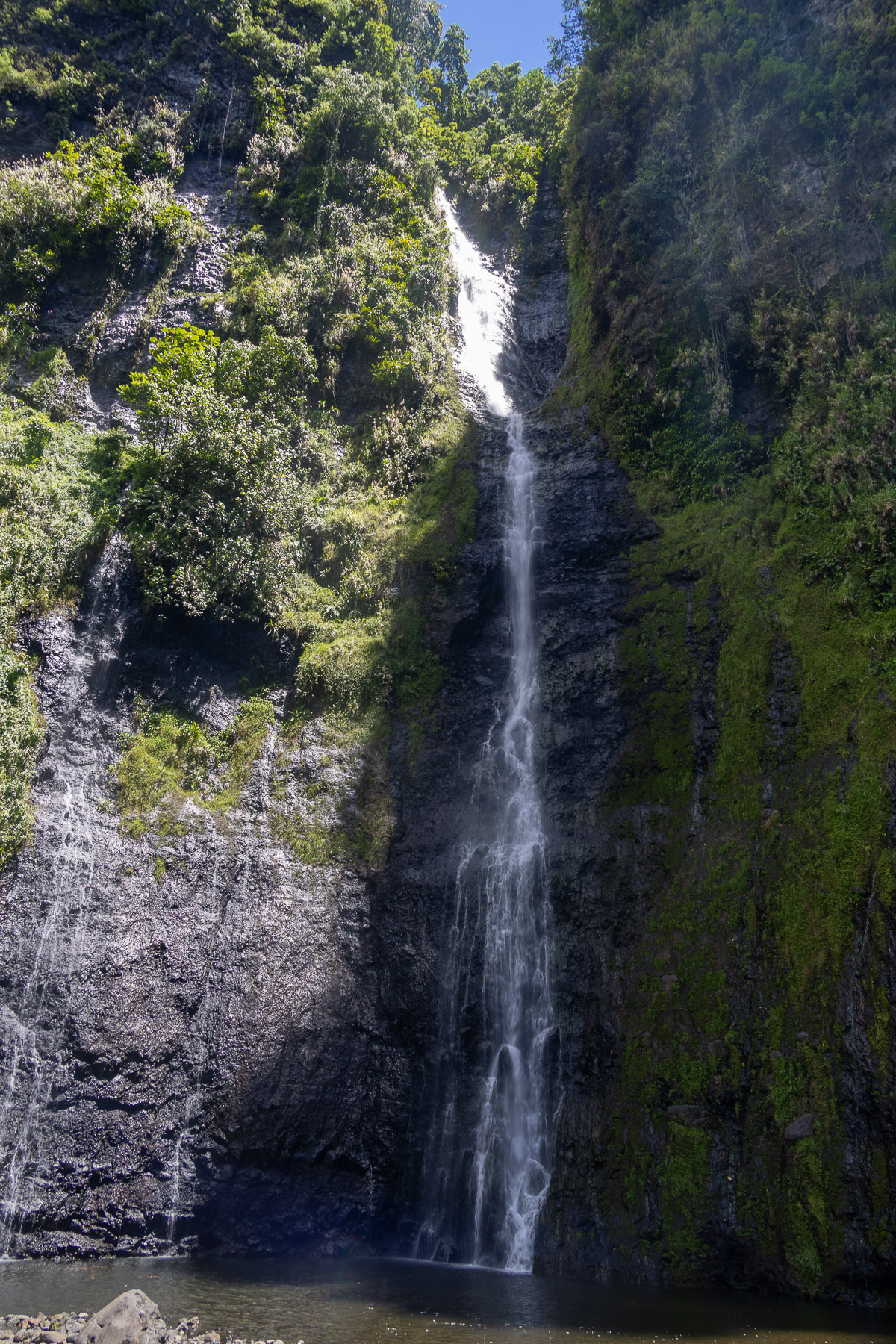
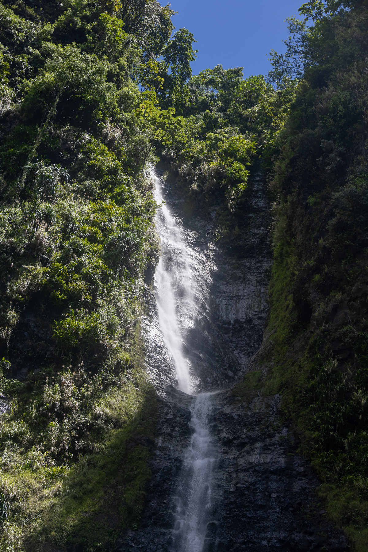
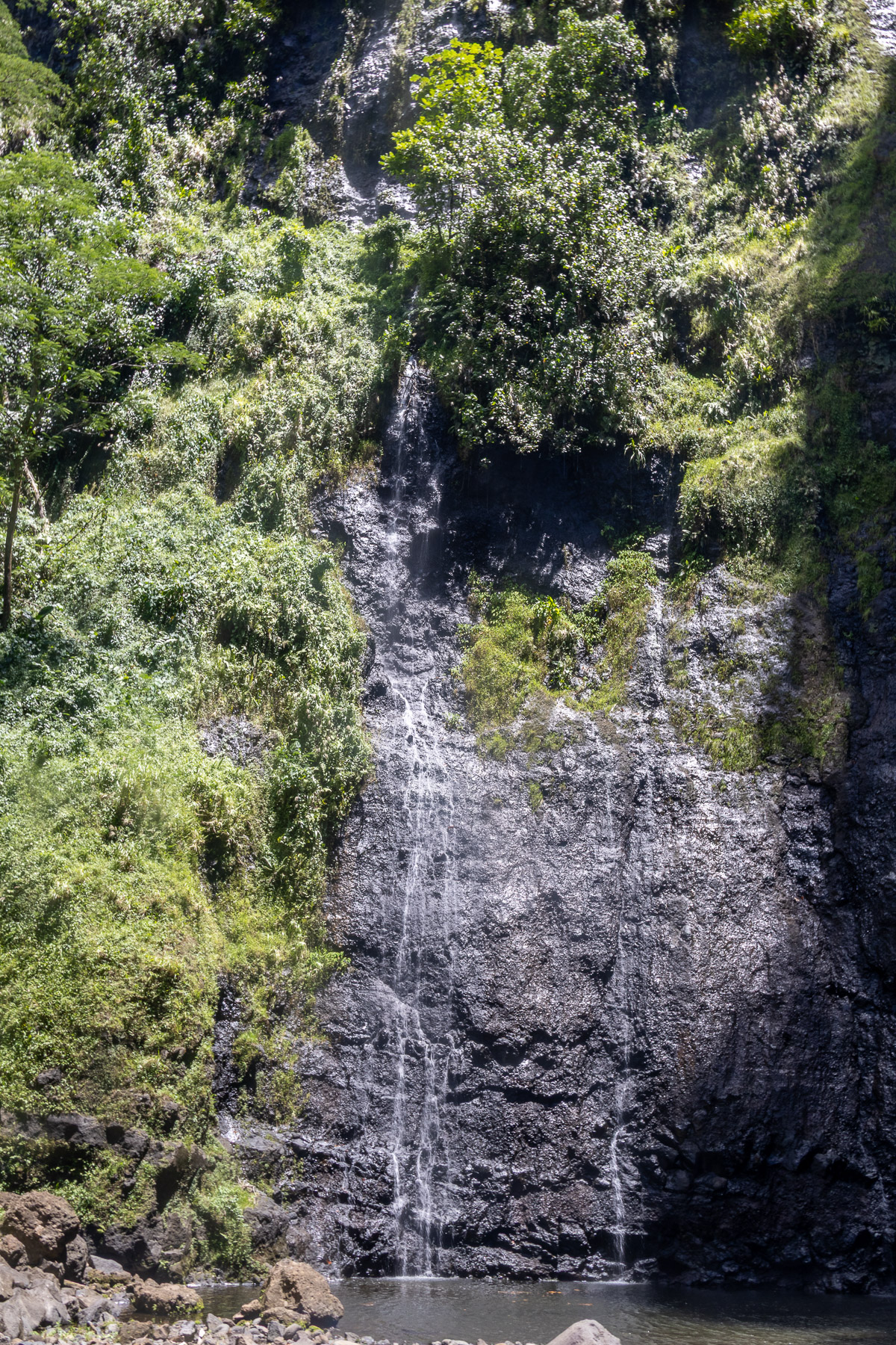
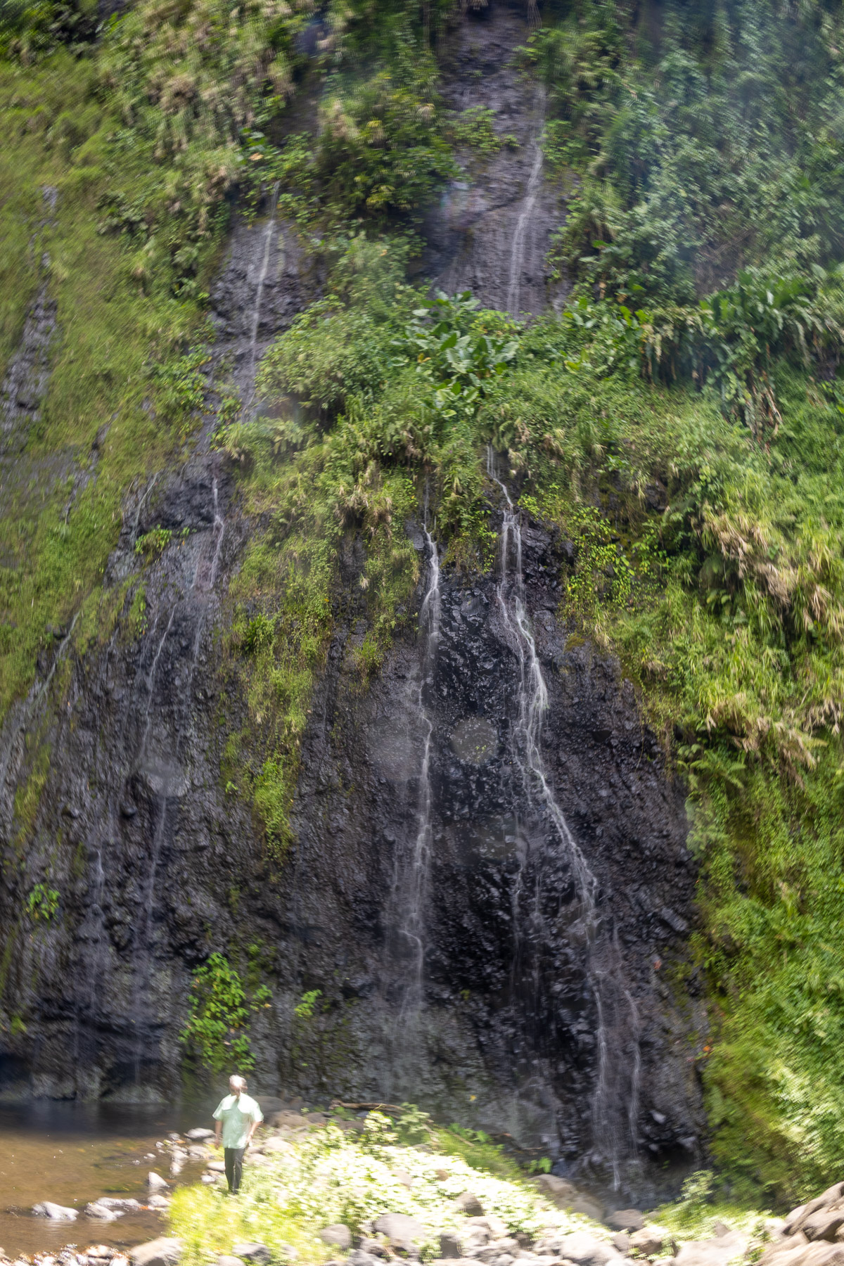
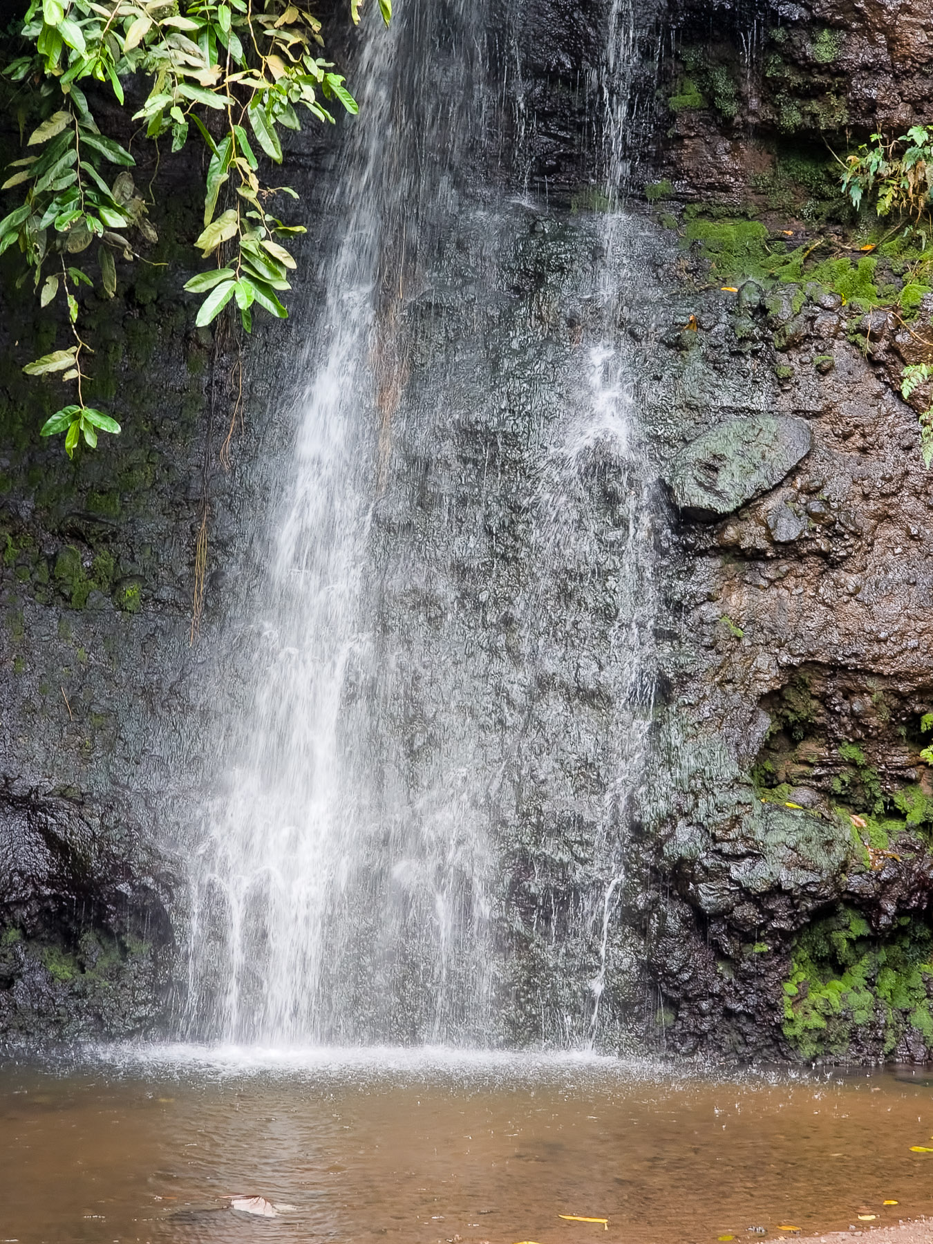
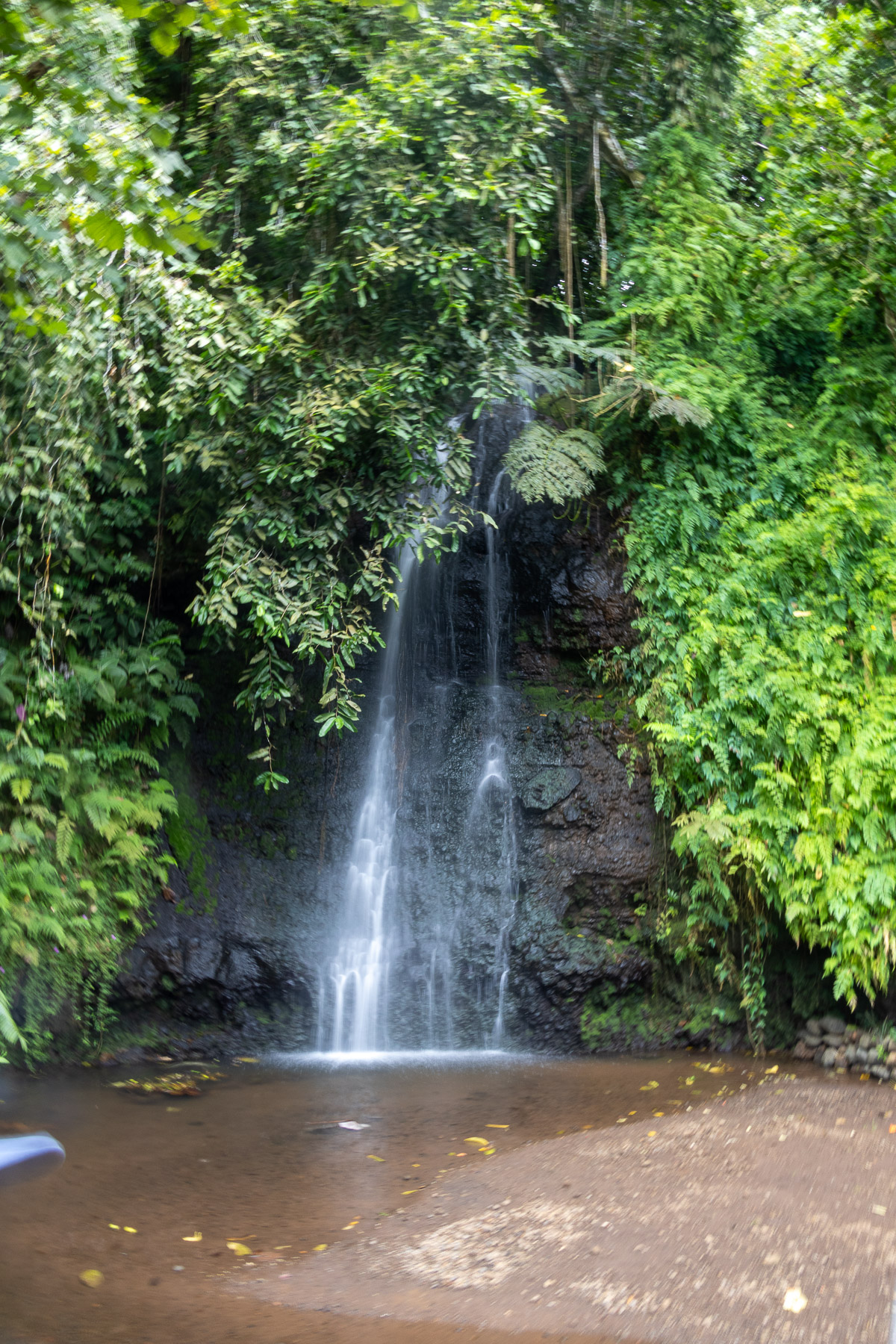
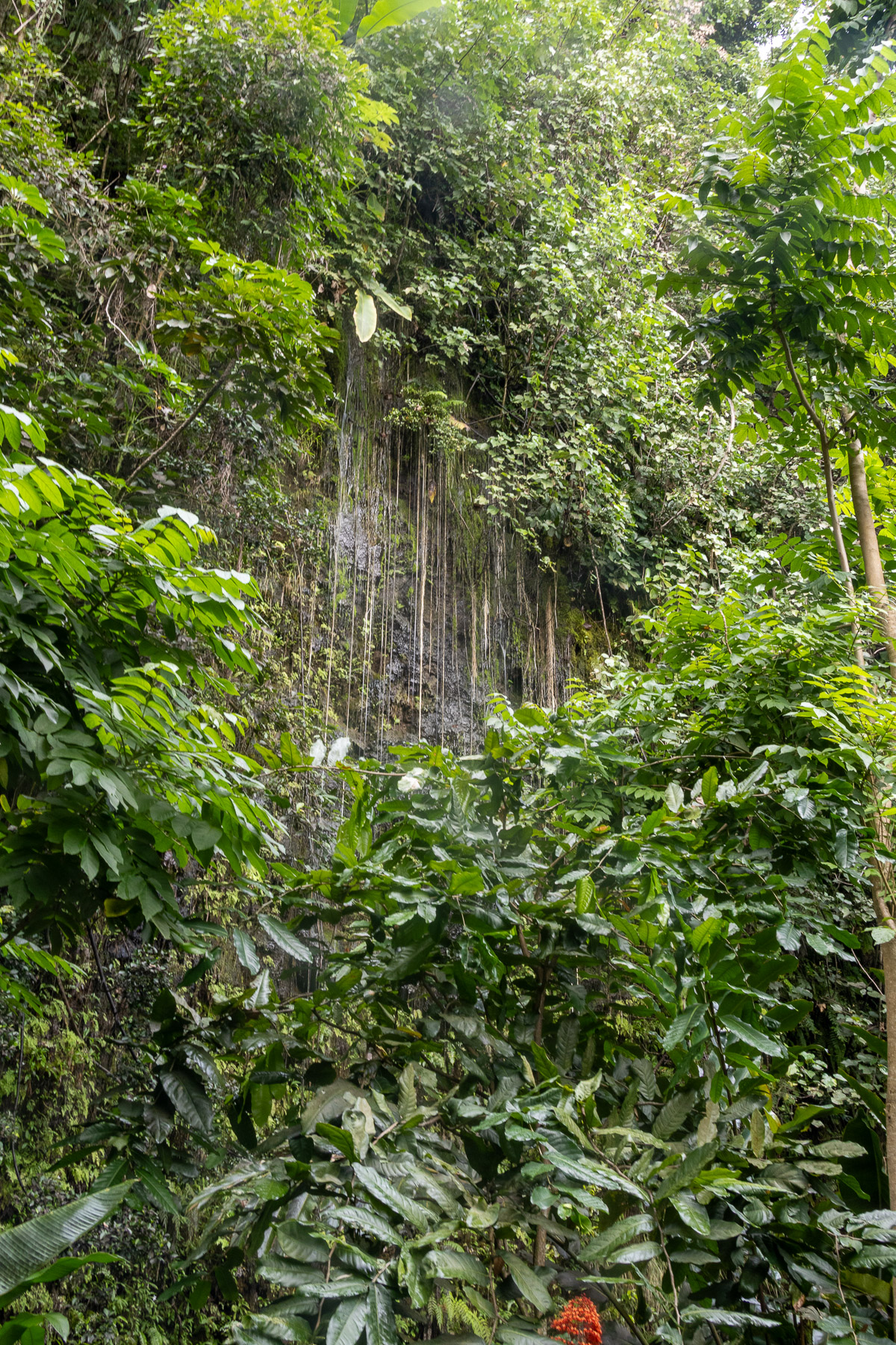
The island is 28 mi across at its widest point and covers an area of 403 sq mi. The highest peak is Mont Orohena (Mouʻa ʻOrohena) 7,352 ft. Mount Roonui, or Mount Ronui (Mouʻa Rōnui), in the southeast rises to 4,370 ft. The island consists of two roughly round portions centered on volcanic mountains and connected by a short isthmus of Taravao. Tahiti’s landscape features lush rainforests and many rivers and waterfalls, including the Papenoʻo on the north side and the Fautaua Falls near Papeʻete.
Our flight arrived in Papeete at five in the morning. After clearing customs we proceeded to the terminal where the ship was docked. After a short wait we were escorted to the ship mid morning. People from the previous cruise were still debarking, so therefore our stateroom would not be ready until three in the afternoon.
We settled in and had our first dinner onboard. After dinner we watched the nightly ship’s entertainment in the main theater.
Wed 2/26: Moorea Island, French Polynesia (anchor) ( 17°30’S, 149°51’W)
Information from Wikipedia:
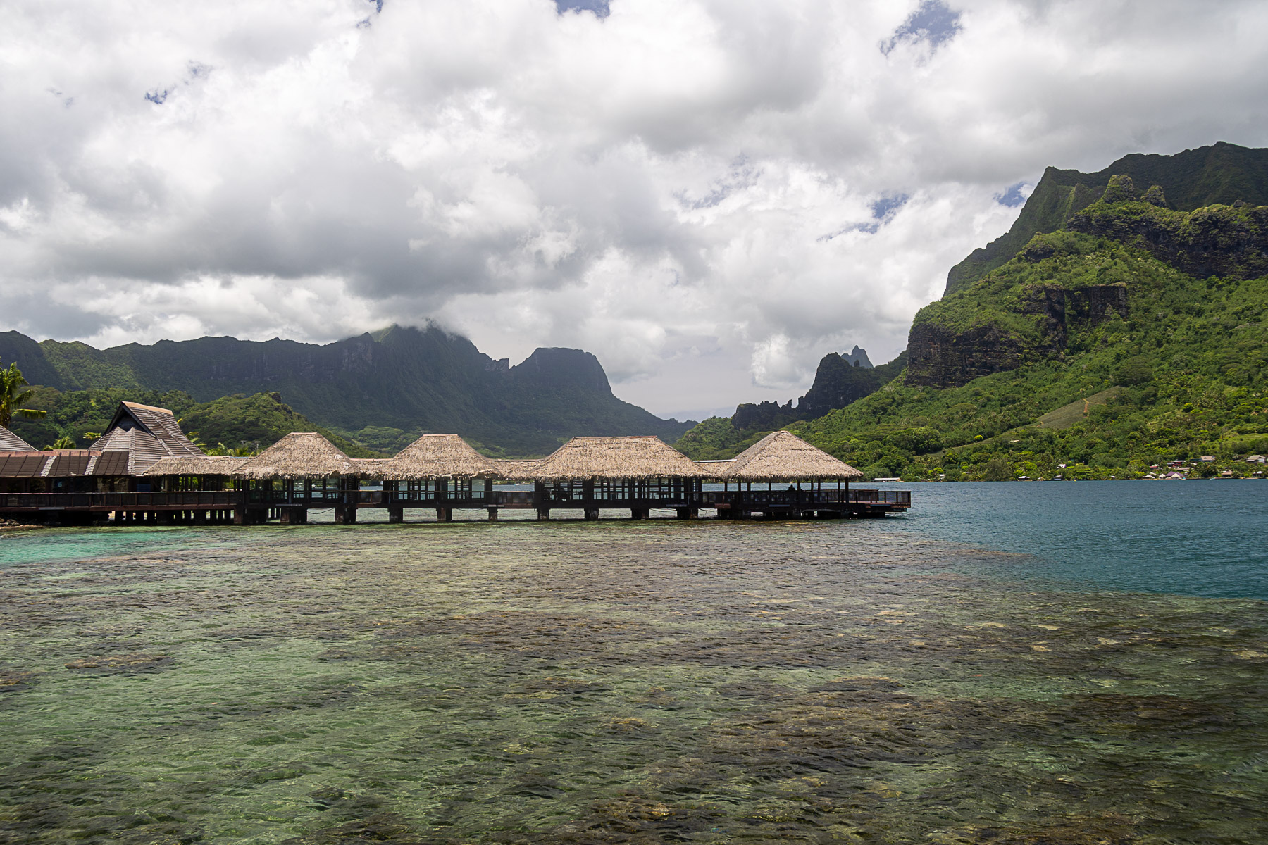
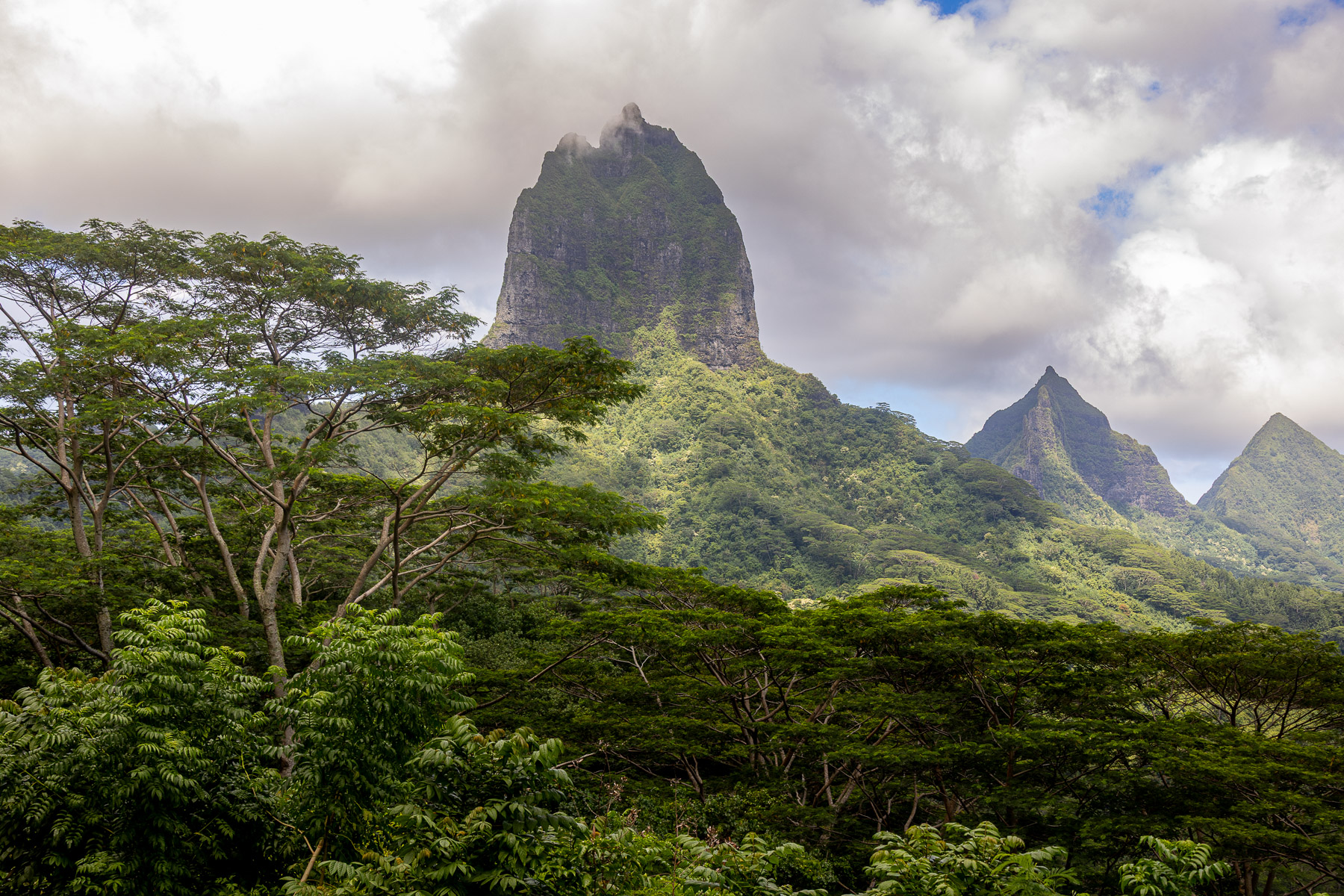
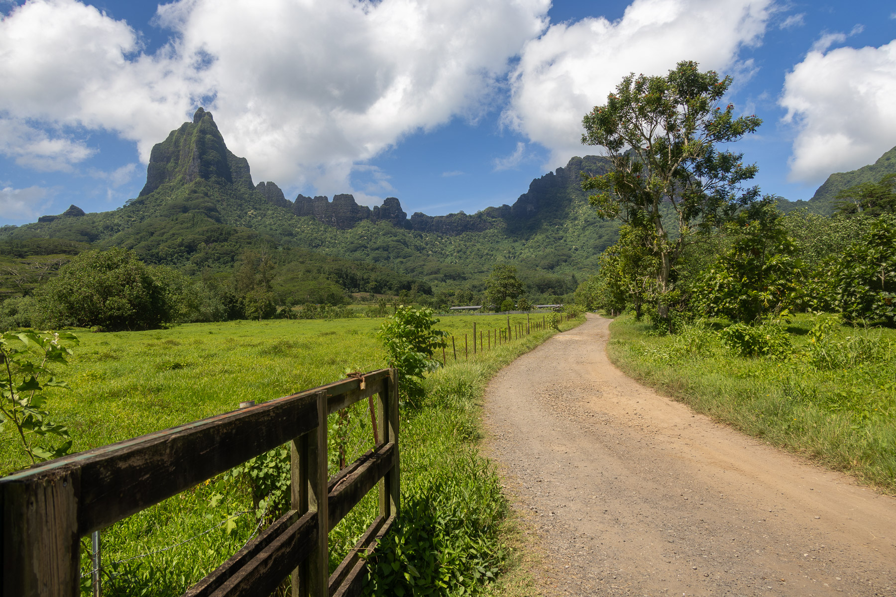
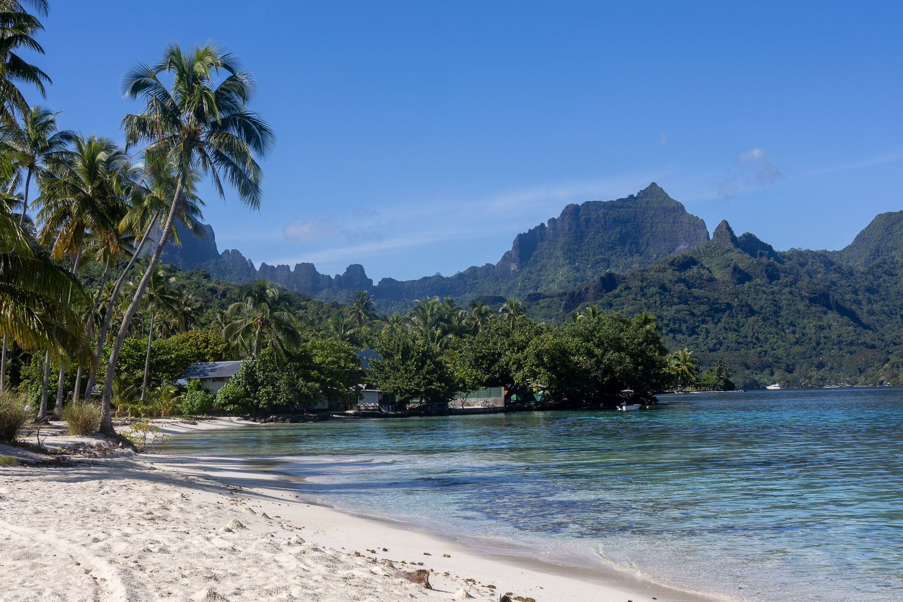
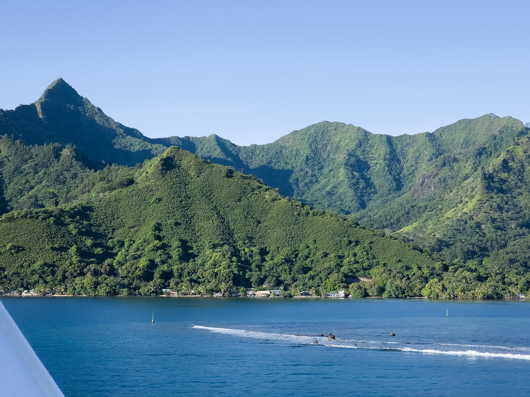
Moorea is a volcanic island in French Polynesia. It is one of the Windward Islands, a group that is part of the Society Islands, 11 miles northwest of Tahiti with a population of 16,000 and 52 square miles in area, approximately 10 miles E-W and 8 miles N-S.
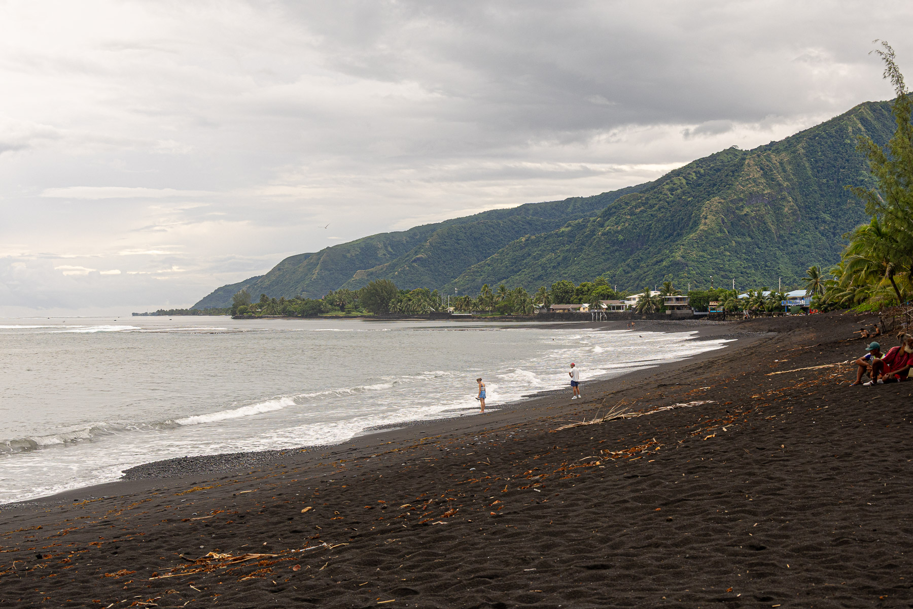
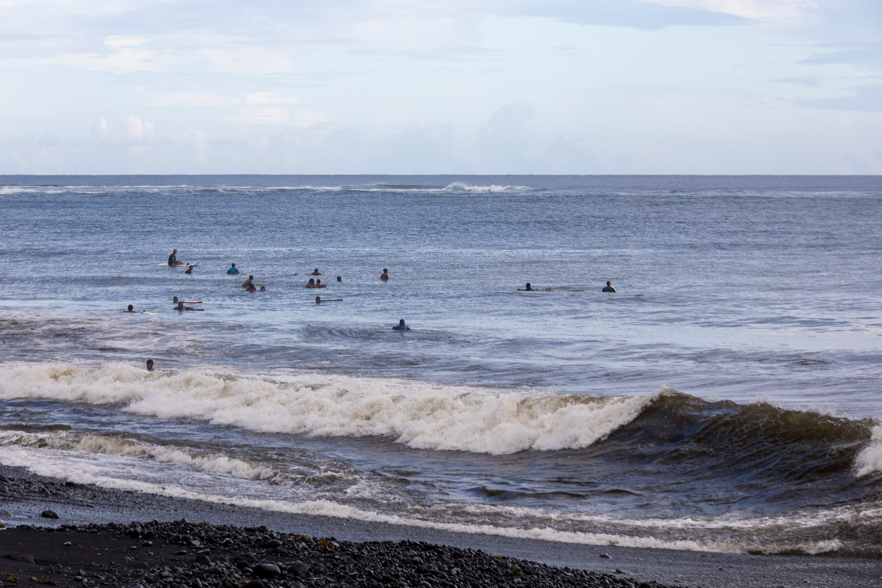
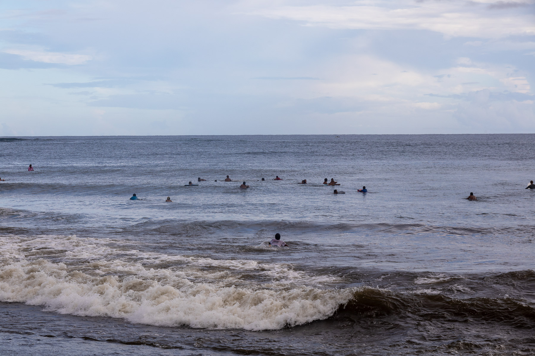
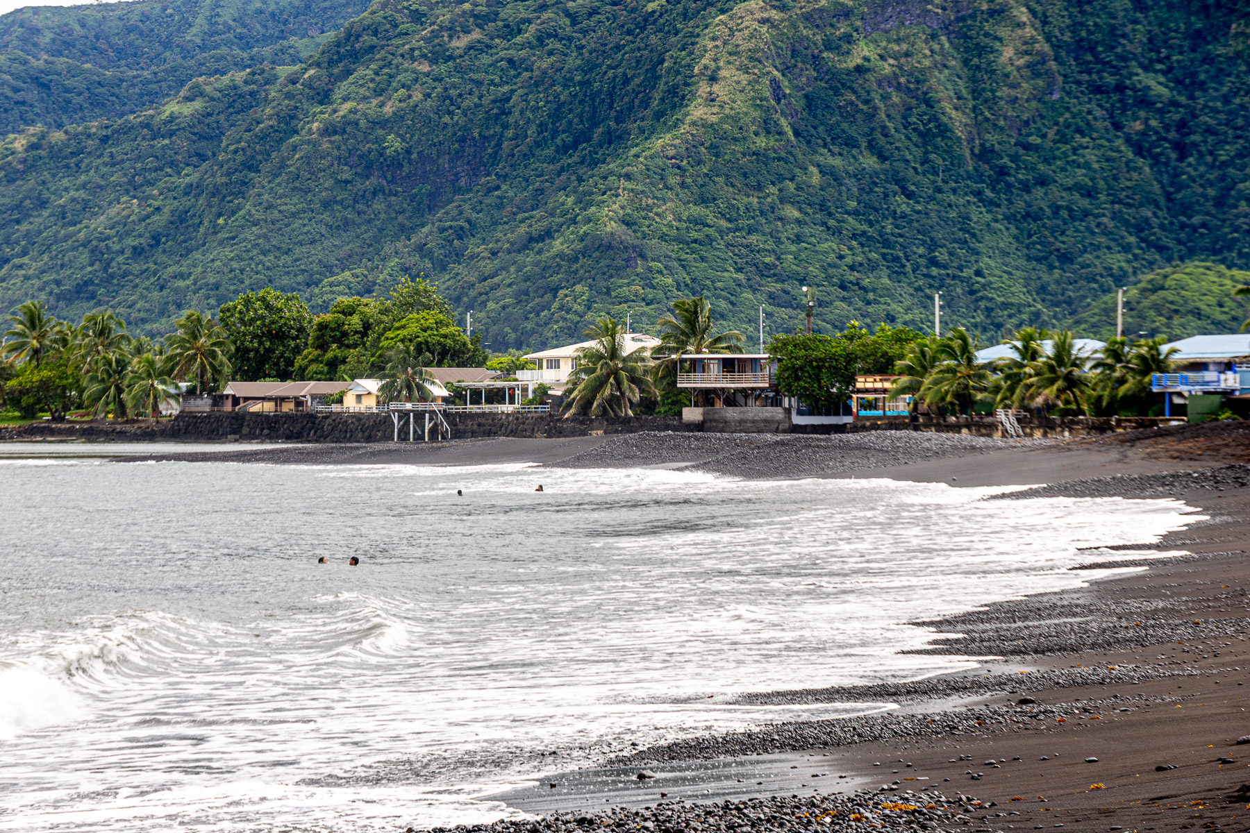
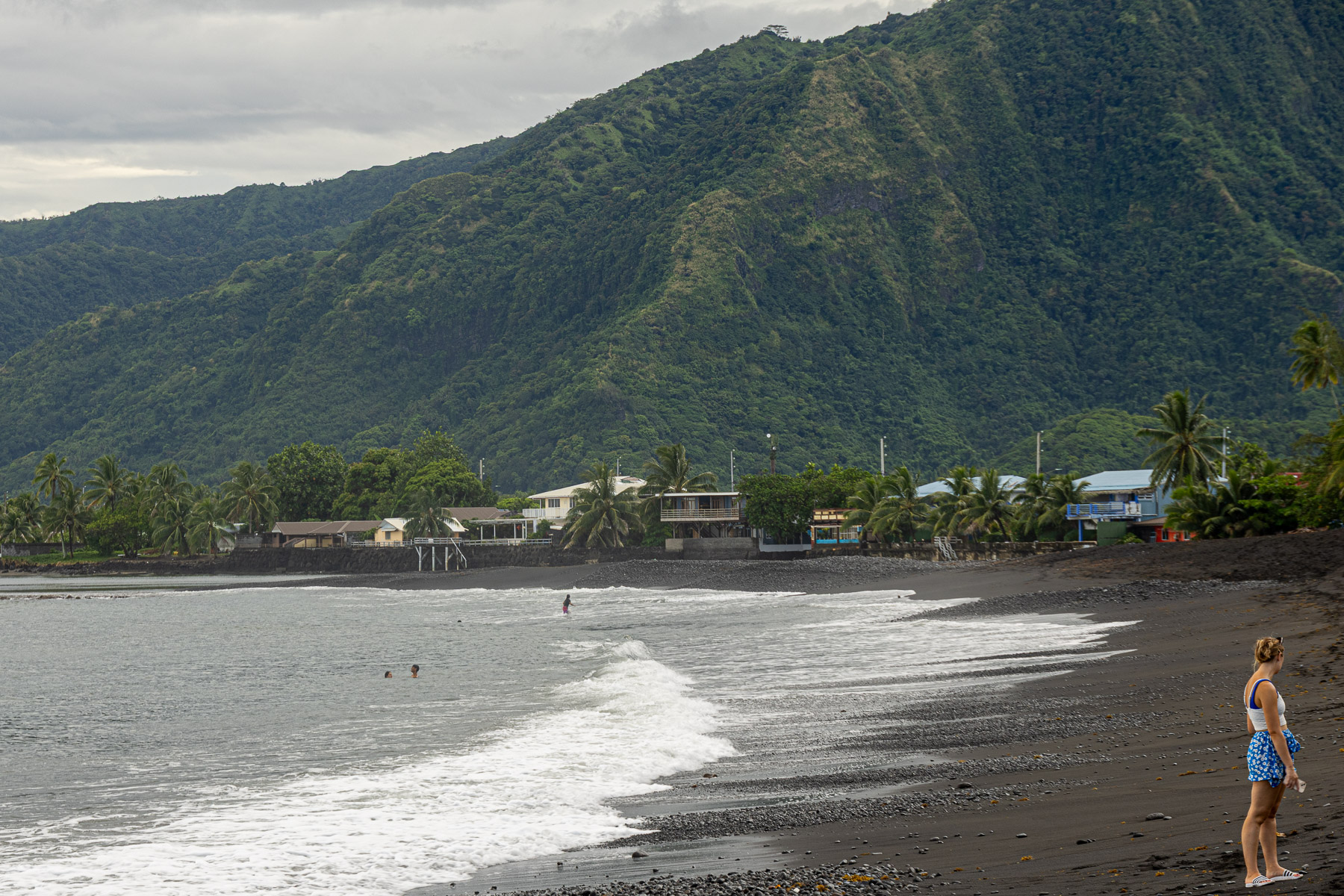
Our excursion for the day was a photo tour of Moorea. The tour started about 8:30 on the pier. Eight of us joined with our guide and loaded into the back of her vehicle. Our first stop was a park on the other side of Opunohu Bay and then a couple of other spots along the black sands beach. We then headed inland for a view and pictures of Mount Tohevia.
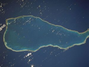
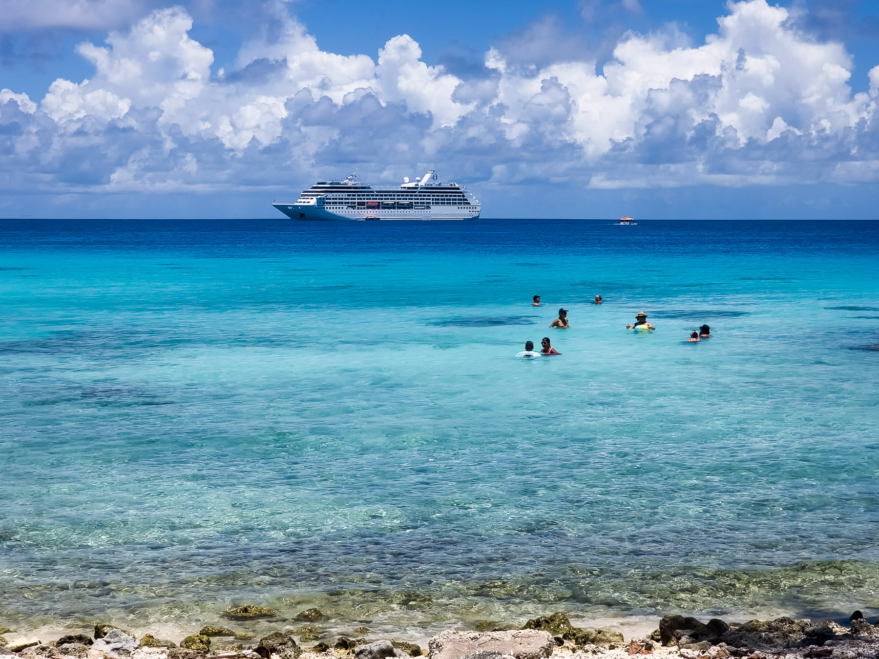
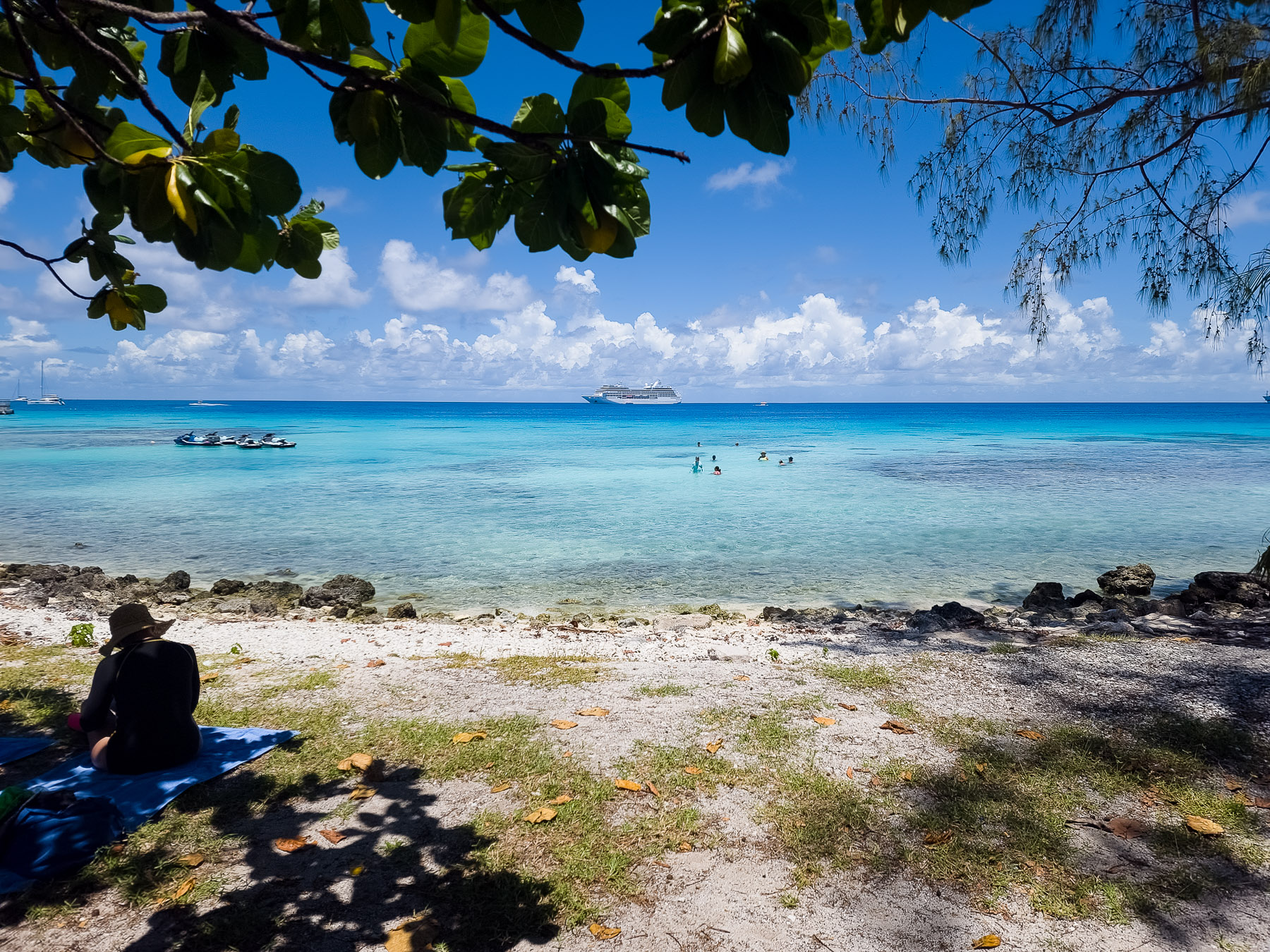
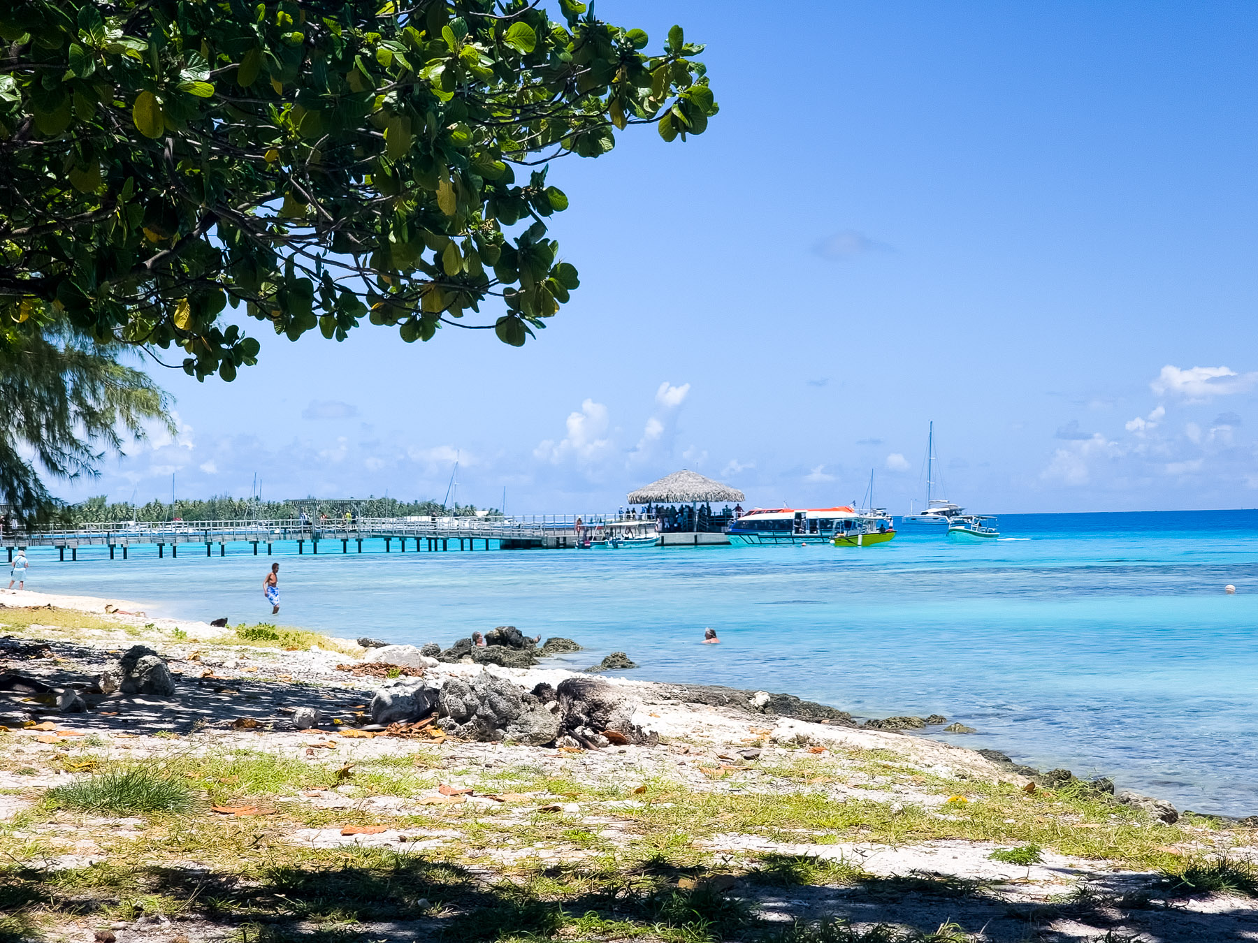
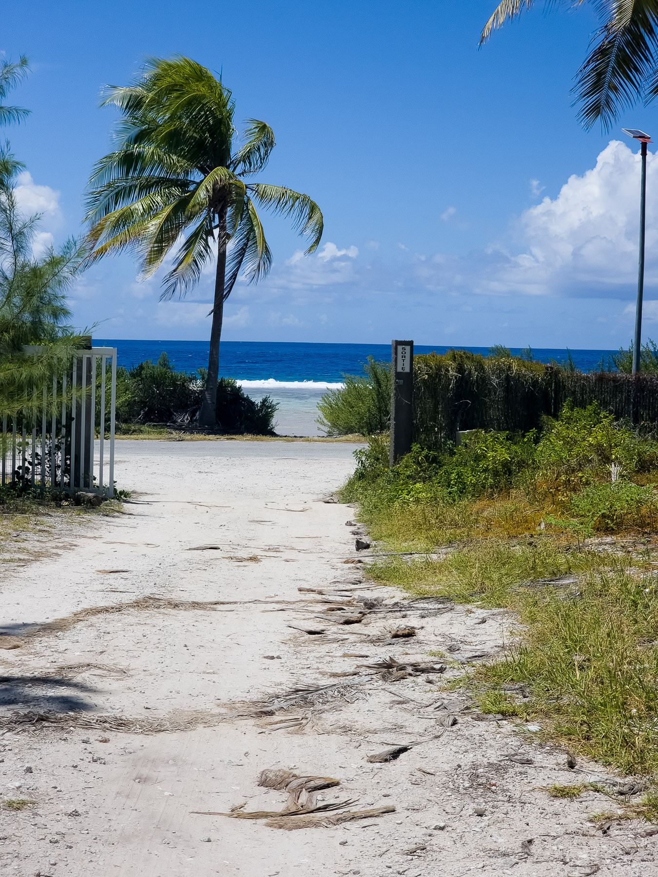
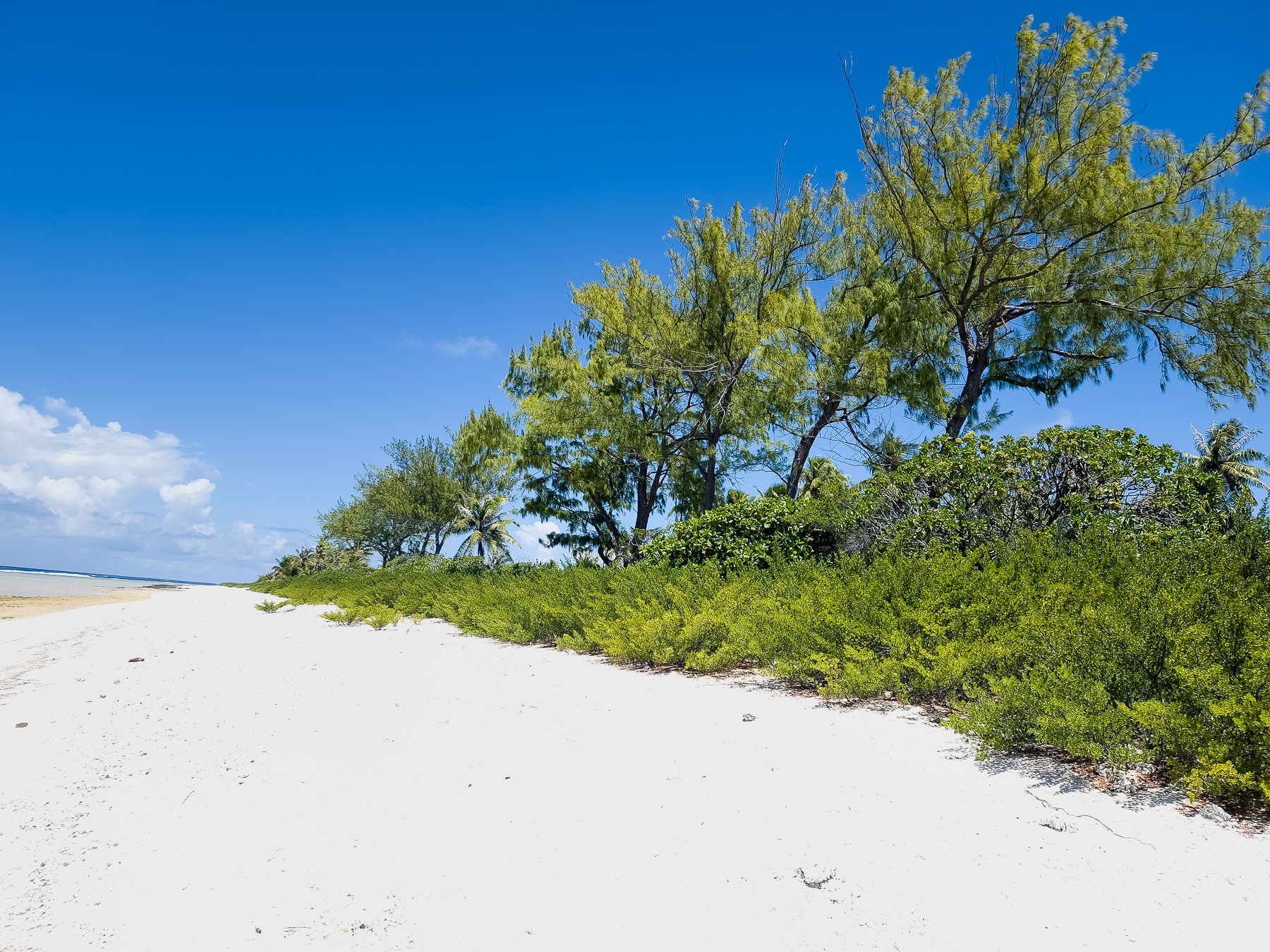
Thu 2/27: Fakarava Atoll (anchor) (16°19’S, 145°37’W)
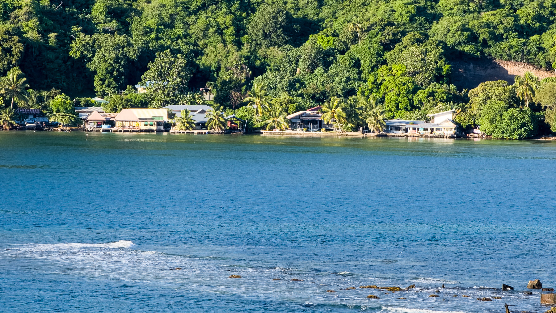
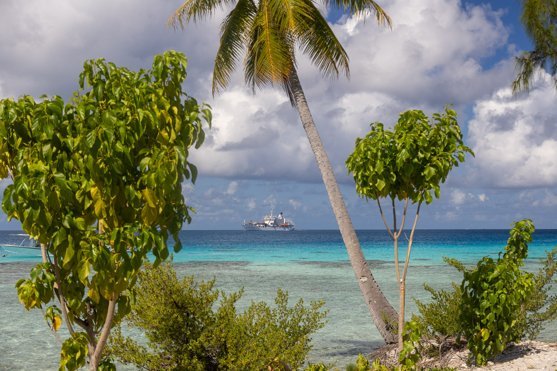
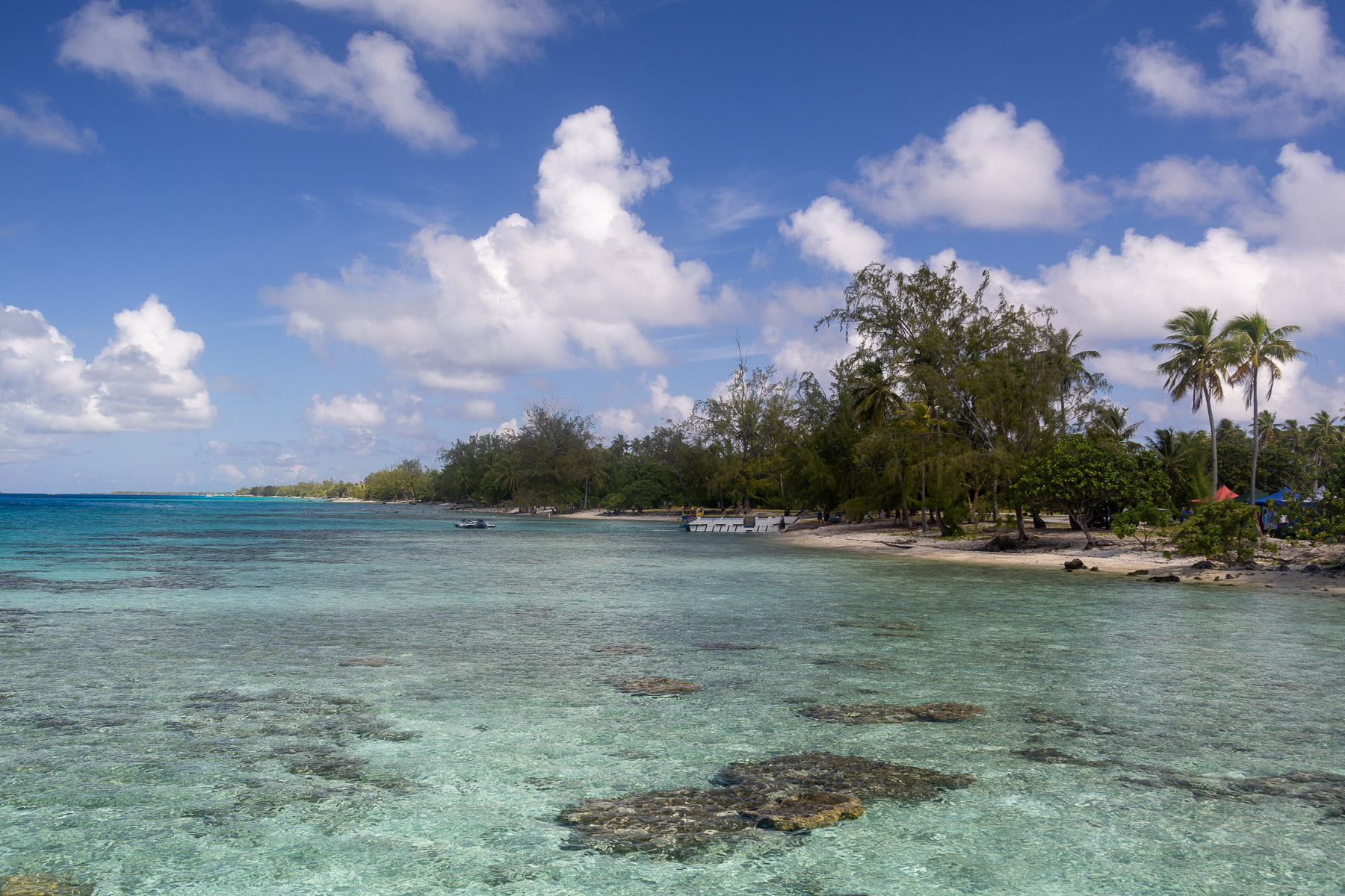
The atoll is roughly rectangular and its length is 37 miles and its width 13 miles. Fakarava has a wide and deep lagoon with a surface of 429 square miles and two passes. The Catholic Church administers a religious building in Rotoava, the Church of Saint John of the Cross. Population 837, main village Rotoava.
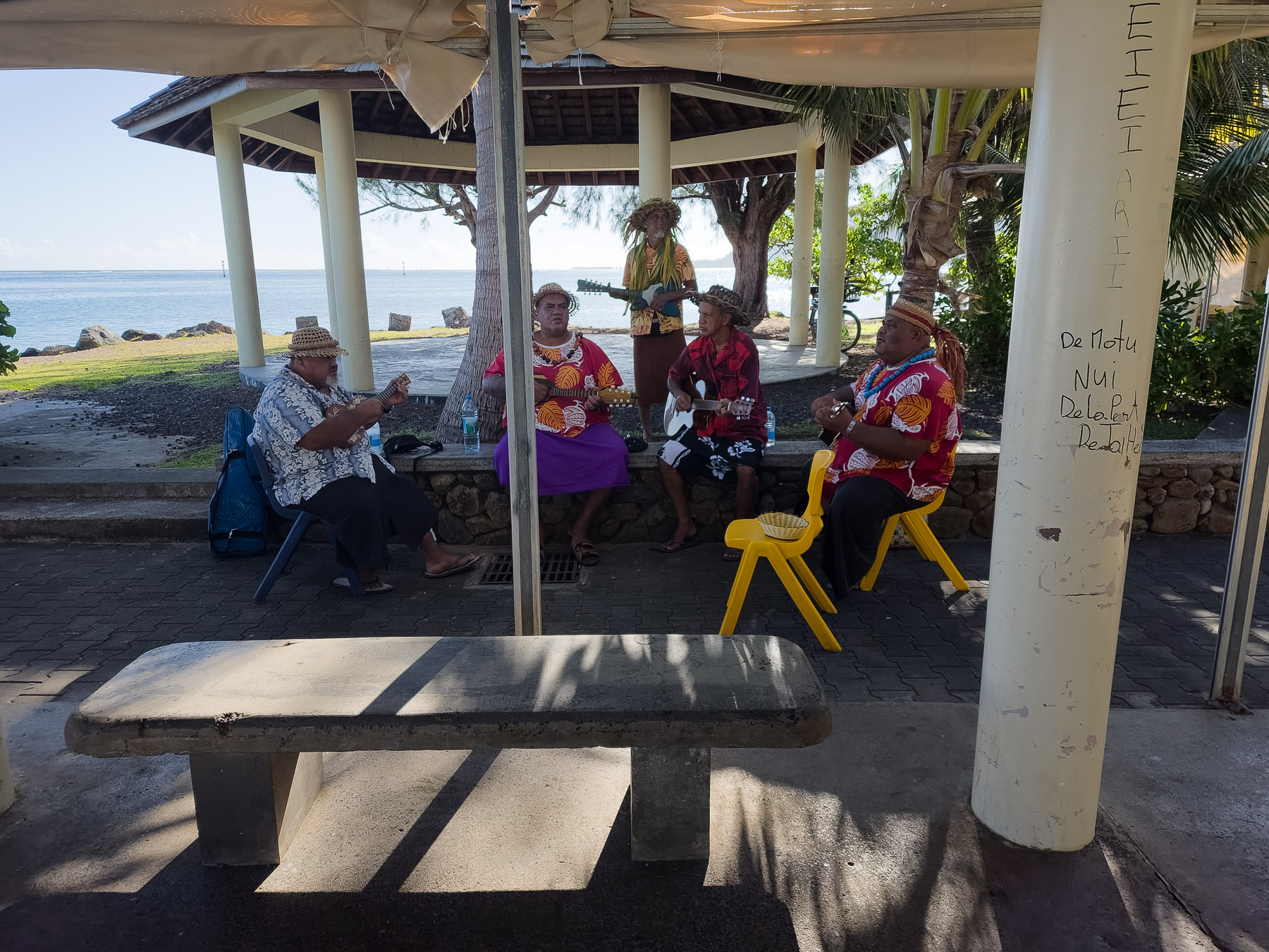
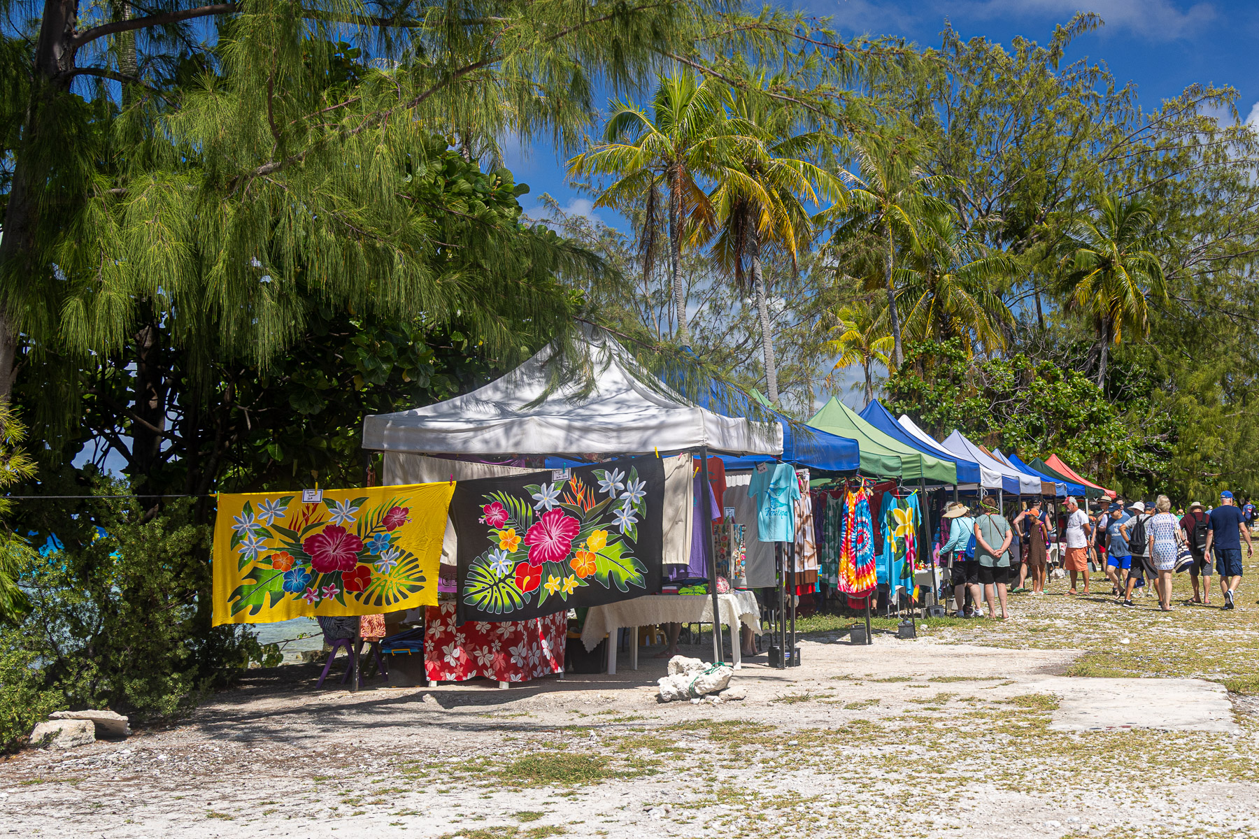
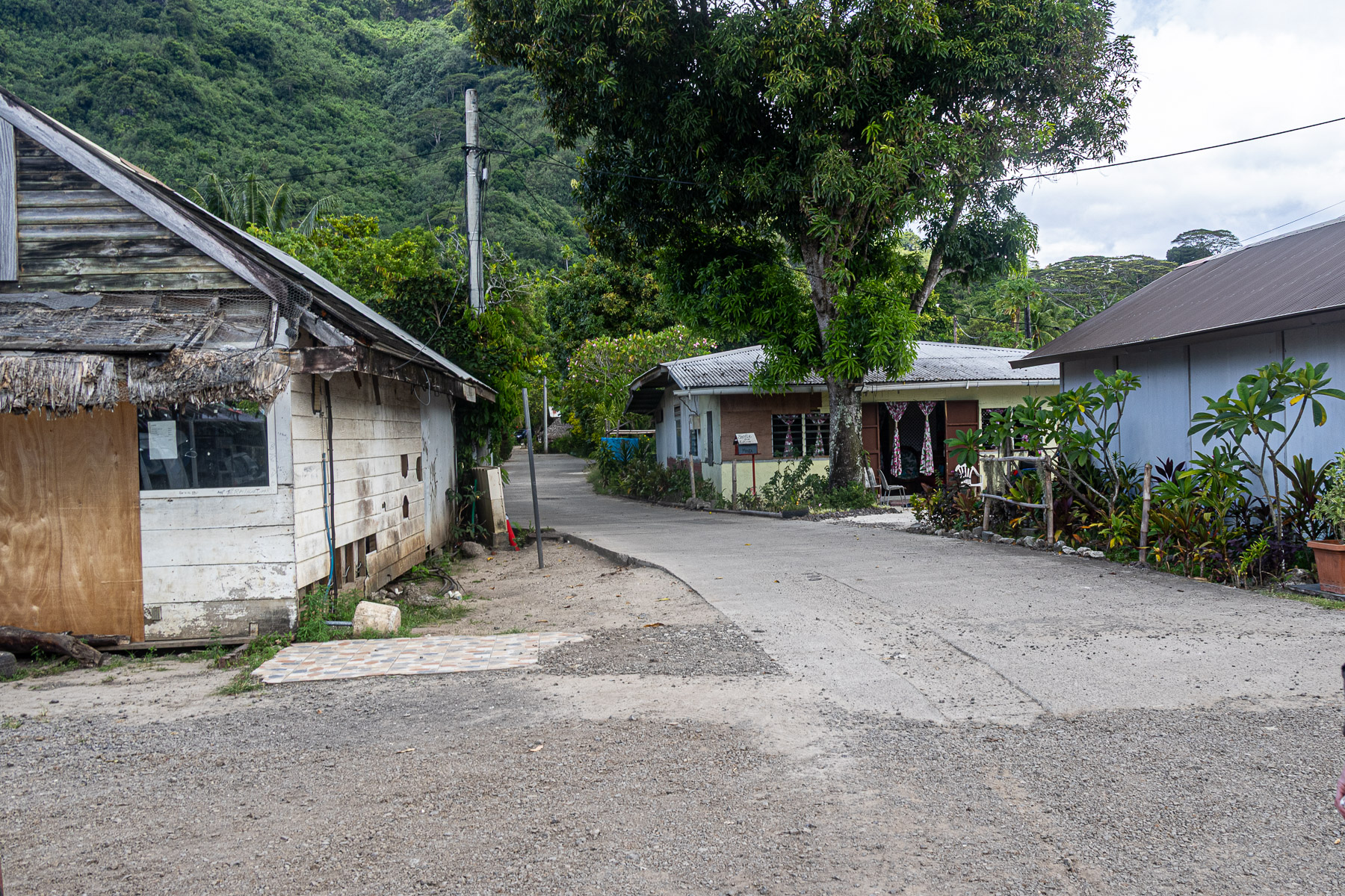
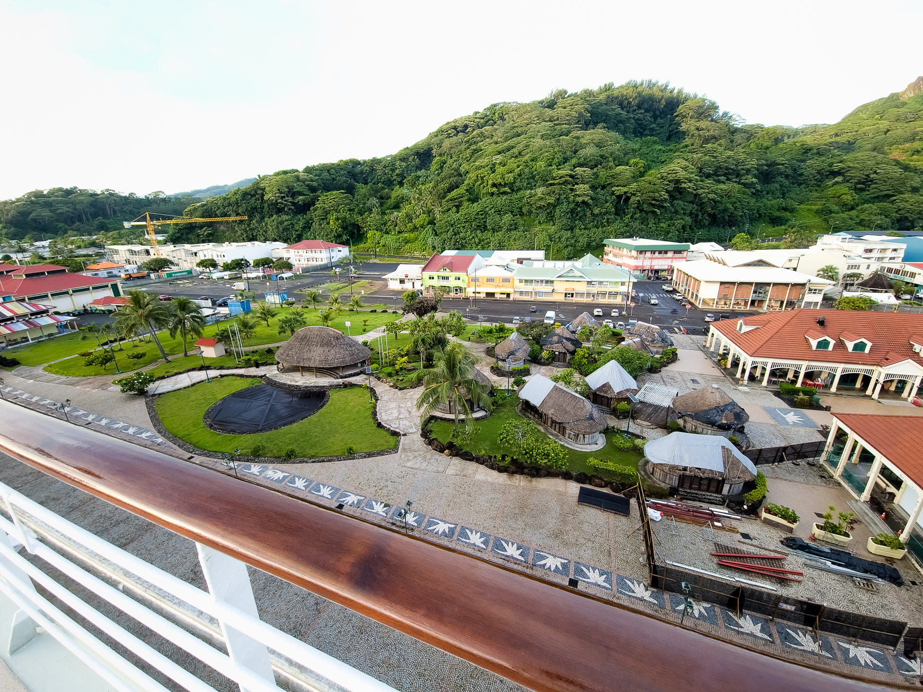
We did not have any shore excursions scheduled for Fakarava so we took the boat ashore to explore the town. With the atoll’s population being just over 800, the town was quite small. We walked down the main street observing the buildings.
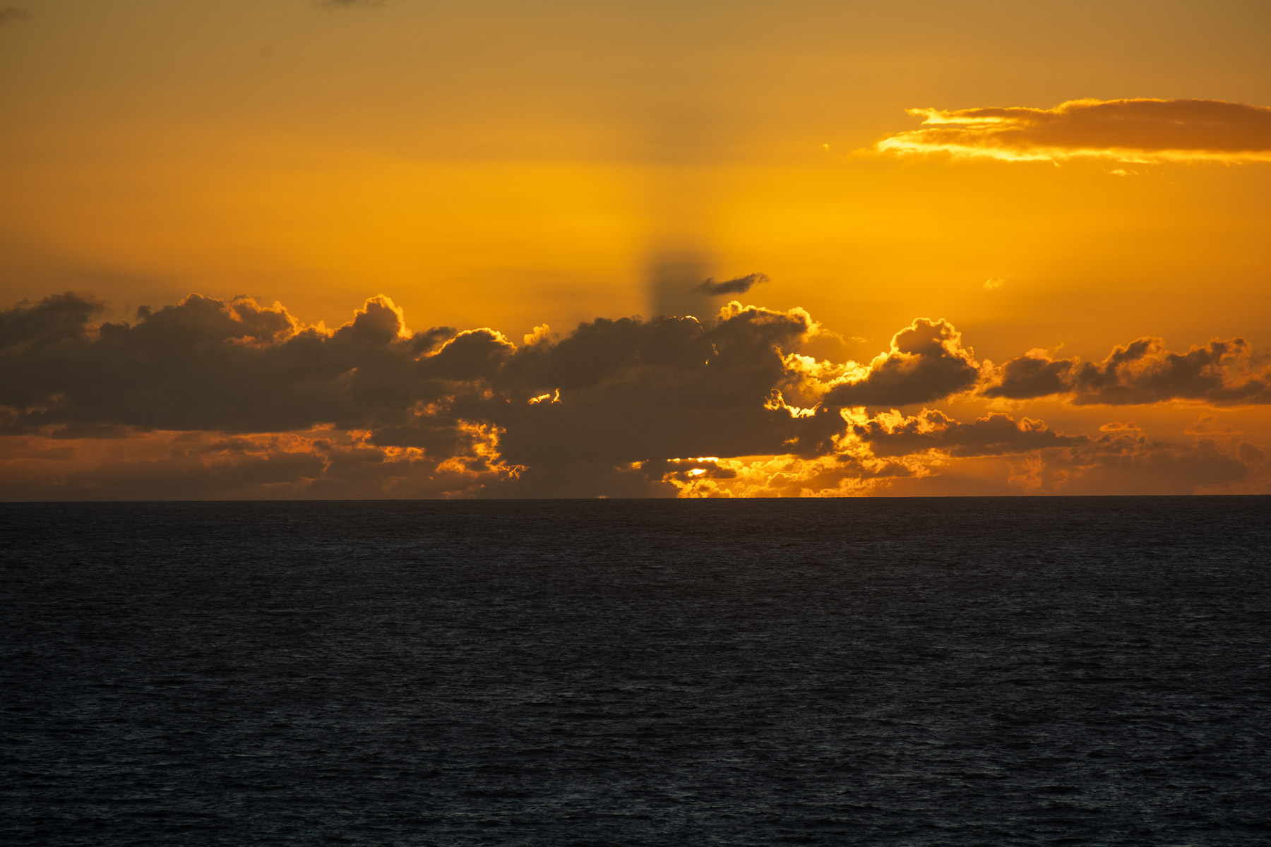
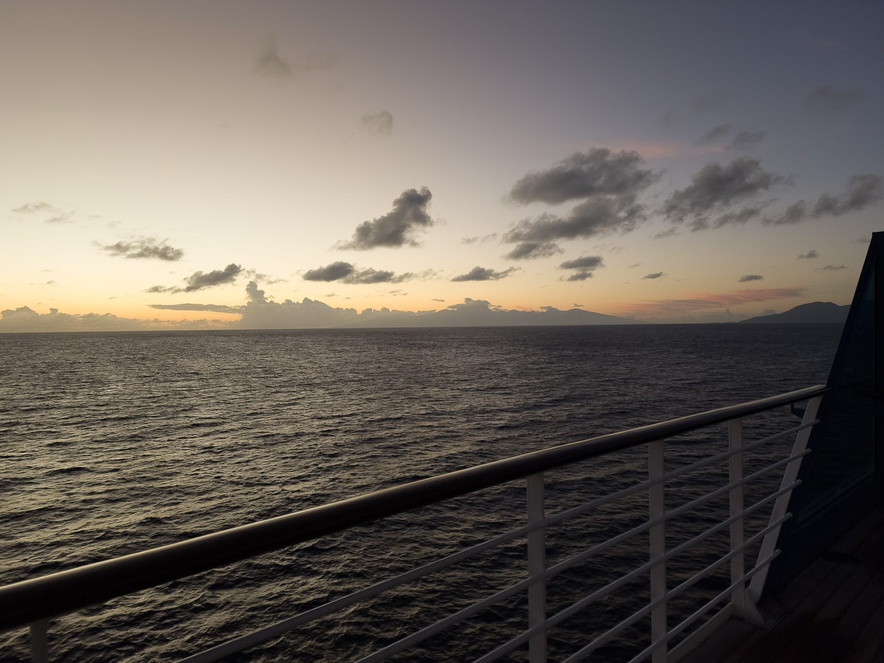
Fri 2/28: Cruising the South Pacific
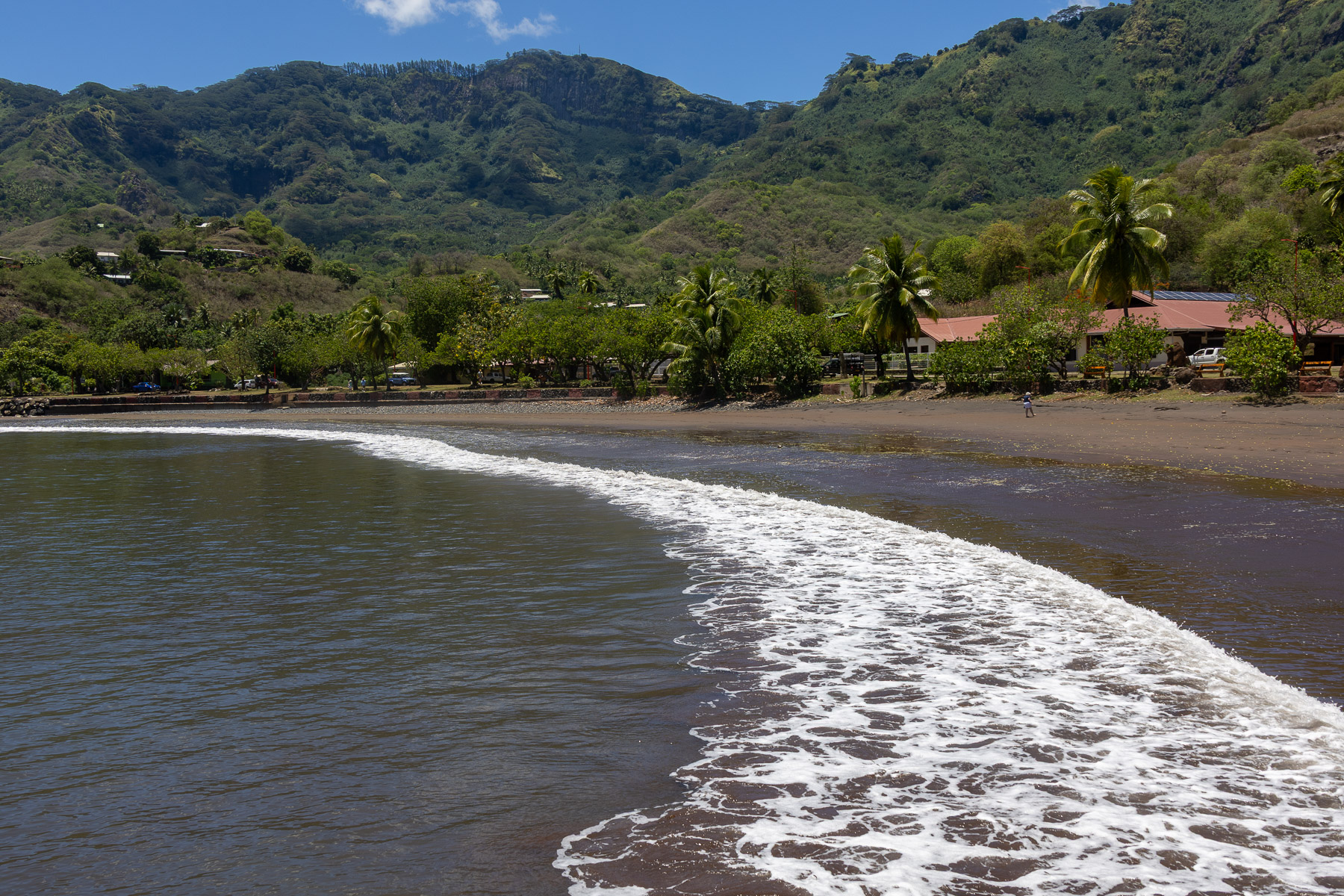
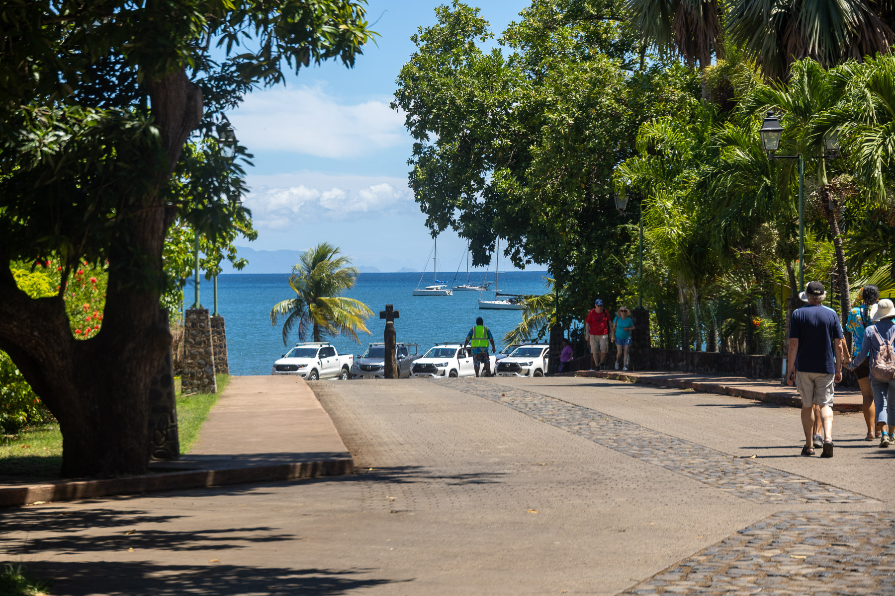
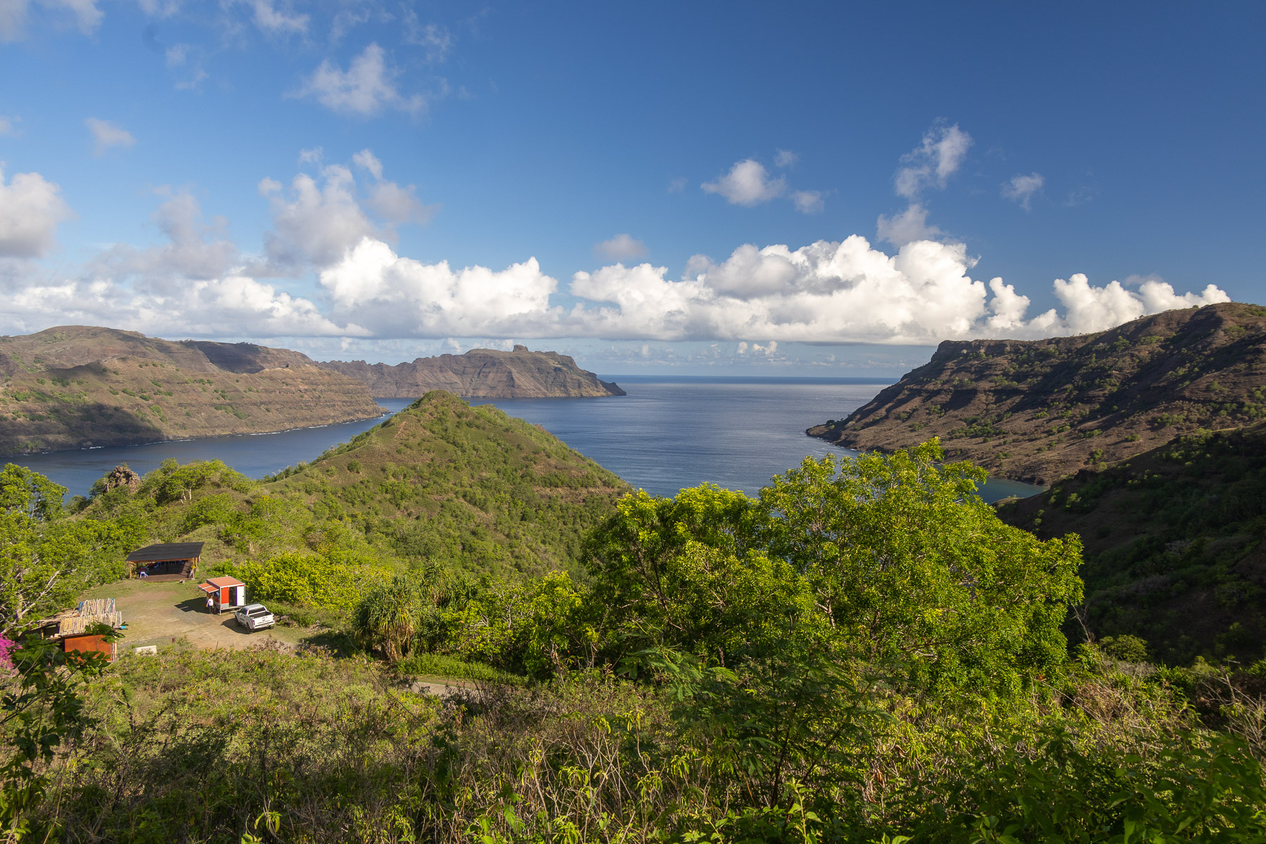
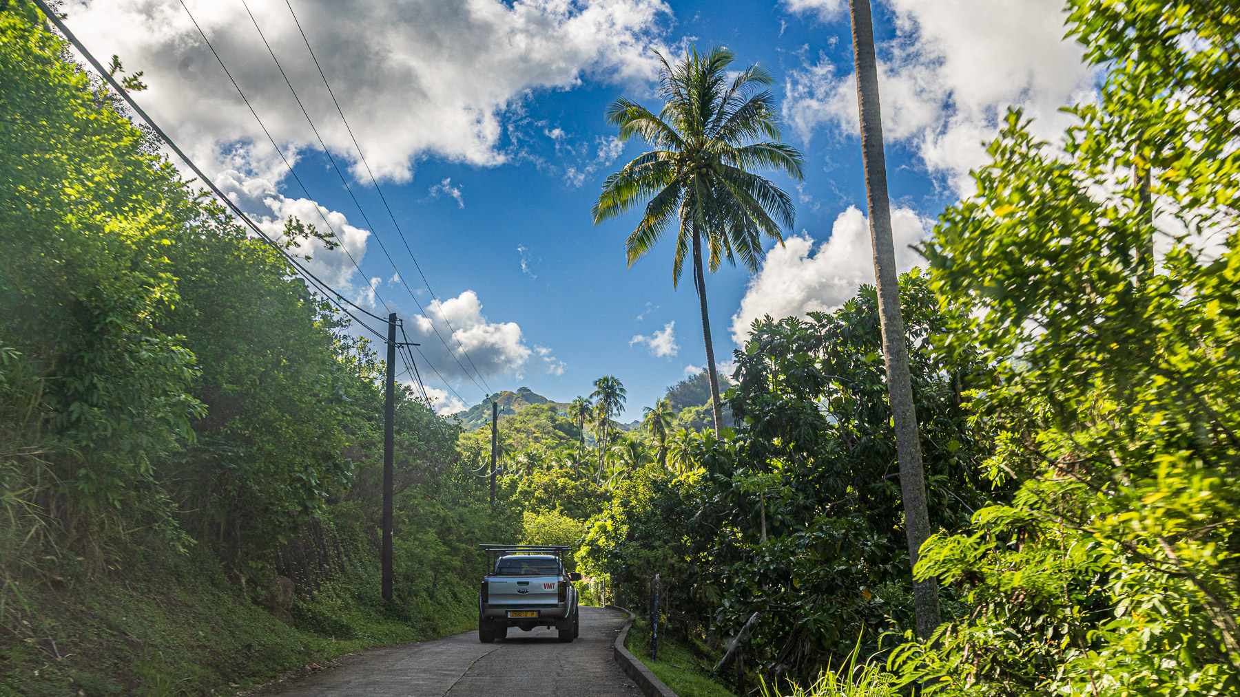
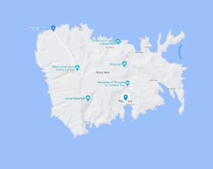 Sat 3/1: Nuku Hiva (anchor) (8°52’S, 140°08’W)
Nuku Hiva is the largest of the Marquesas Islands in French Polynesia. It was formerly also known as Île Marchand and Madison Island. Herman Melville wrote his book Typee based on his experiences in the Taipivai valley in the eastern part of Nuku Hiva. Robert Louis Stevenson’s first landfall on his voyage on the Casco was at Hatihe’u, on the north side of the island, in 1888.
The island has a population 3,120 (2017) with an area of 131 sq. mi., approximately 16 miles wide E-W and 12 miles N-S.
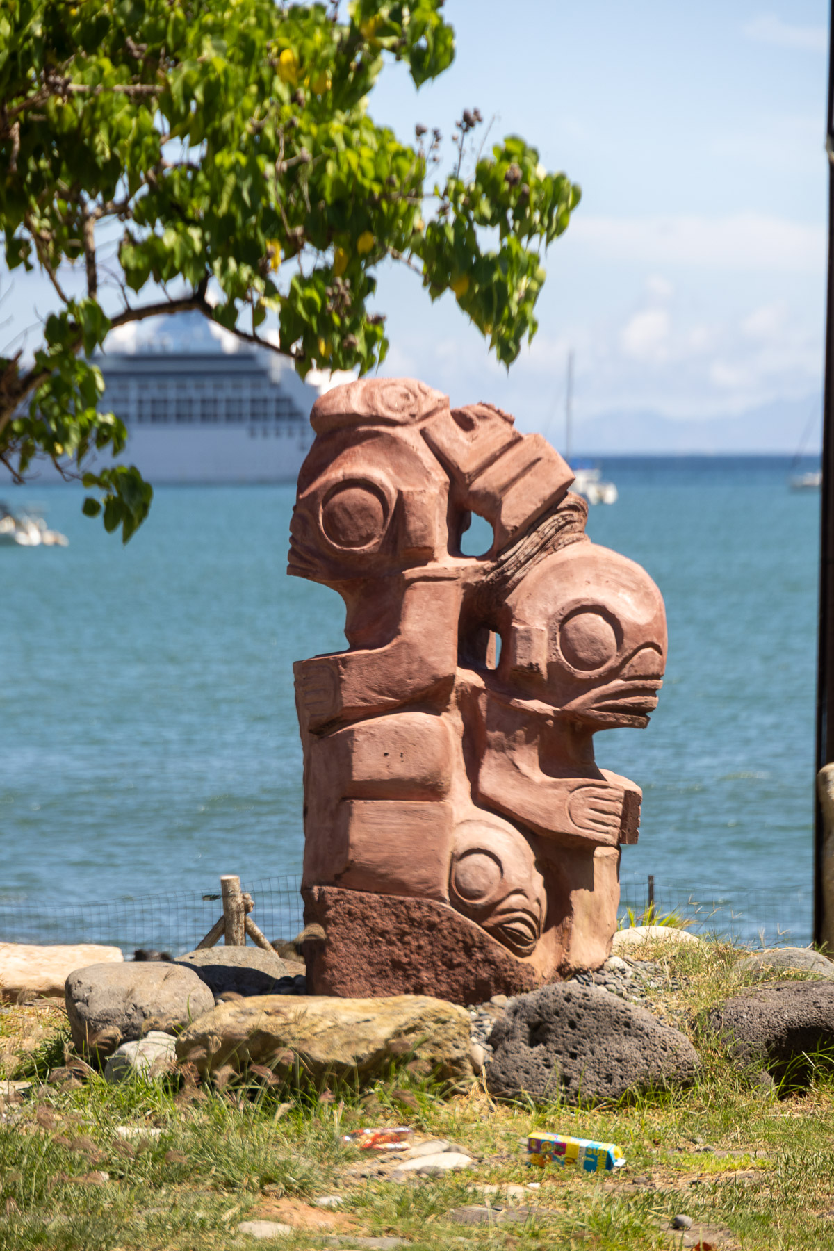
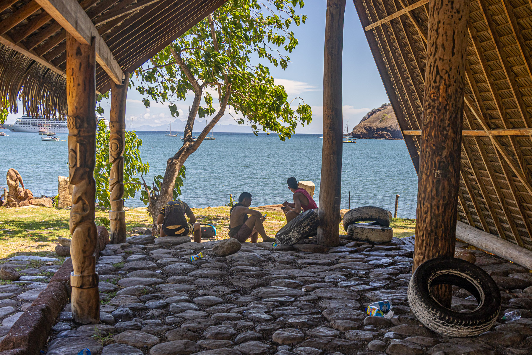
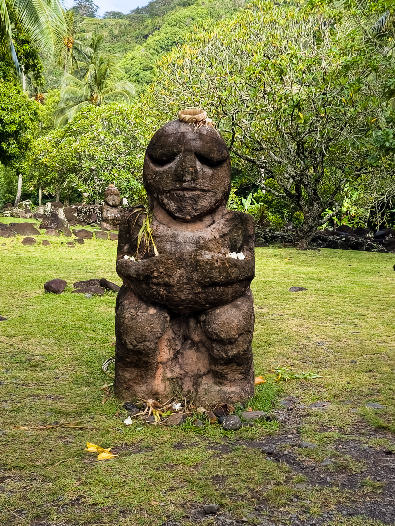
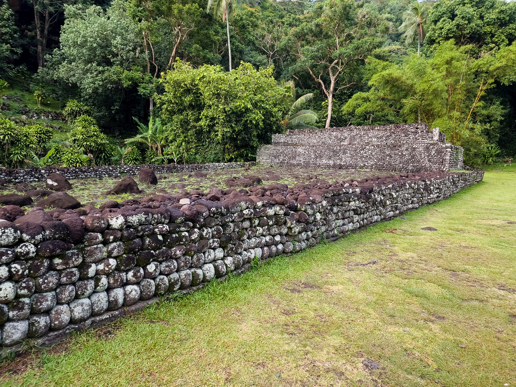
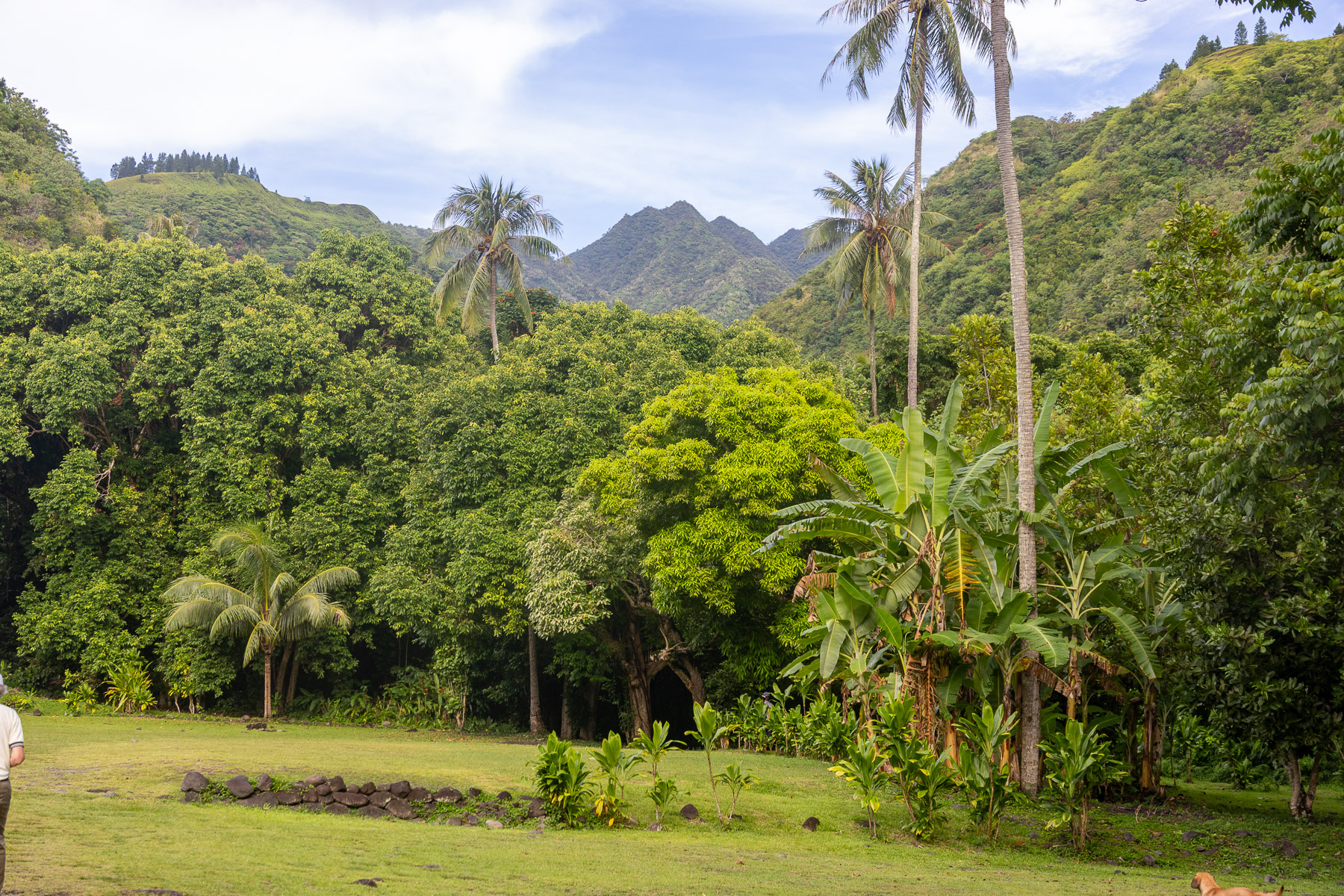
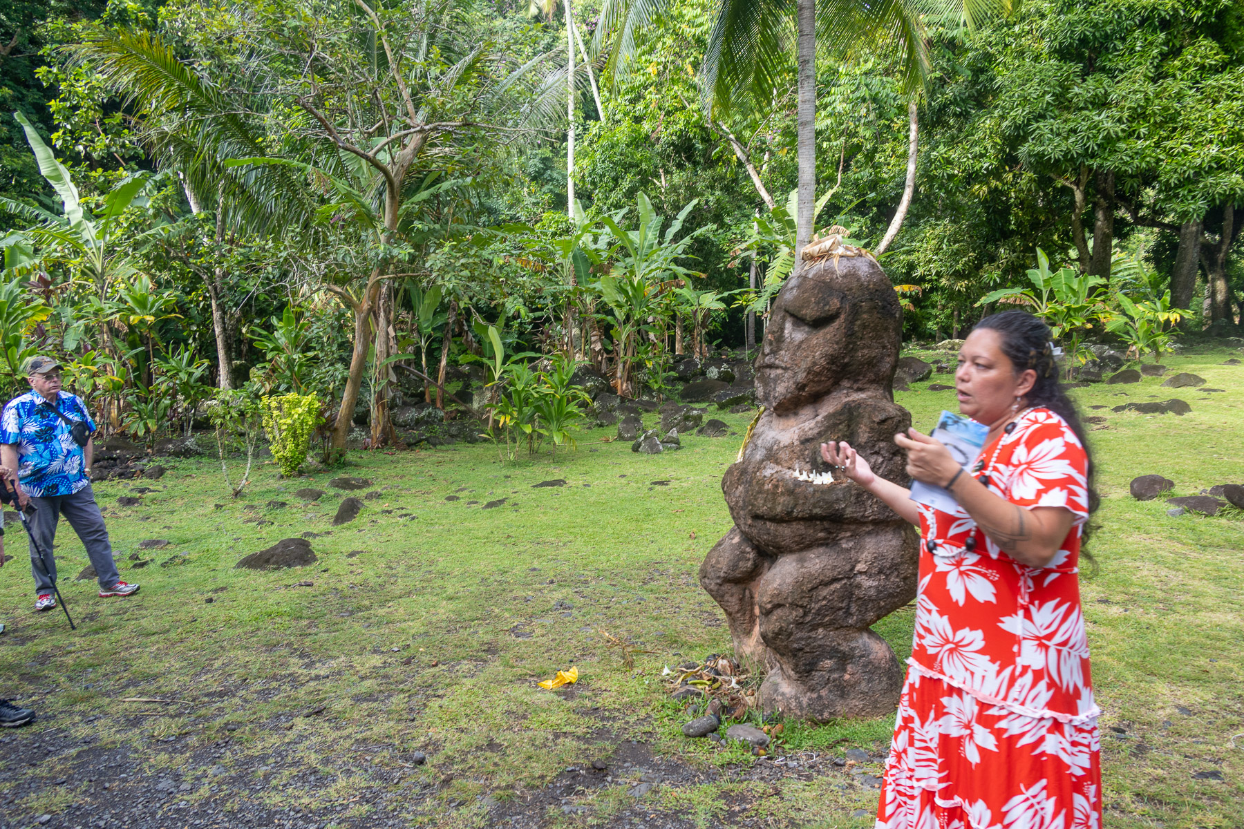
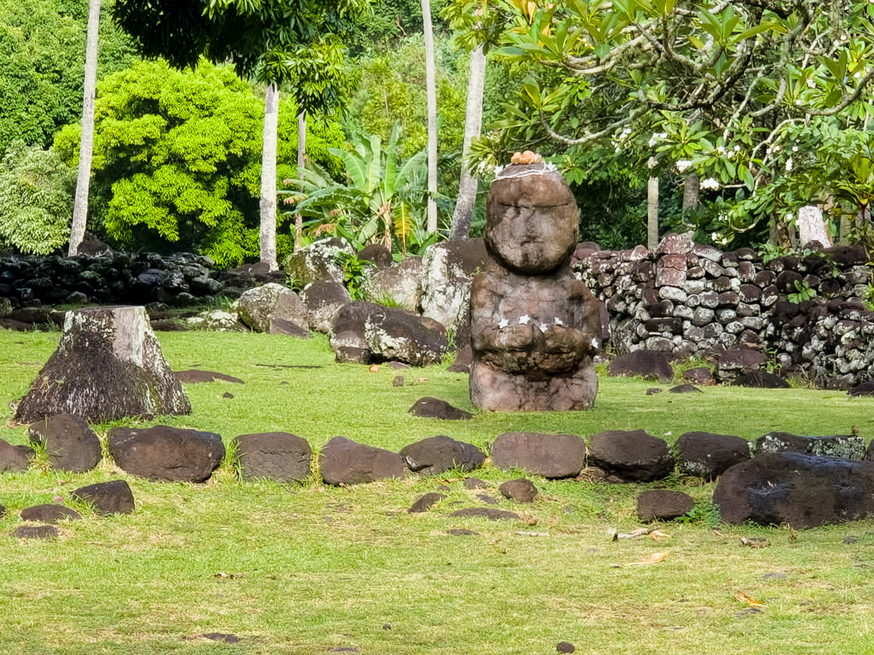
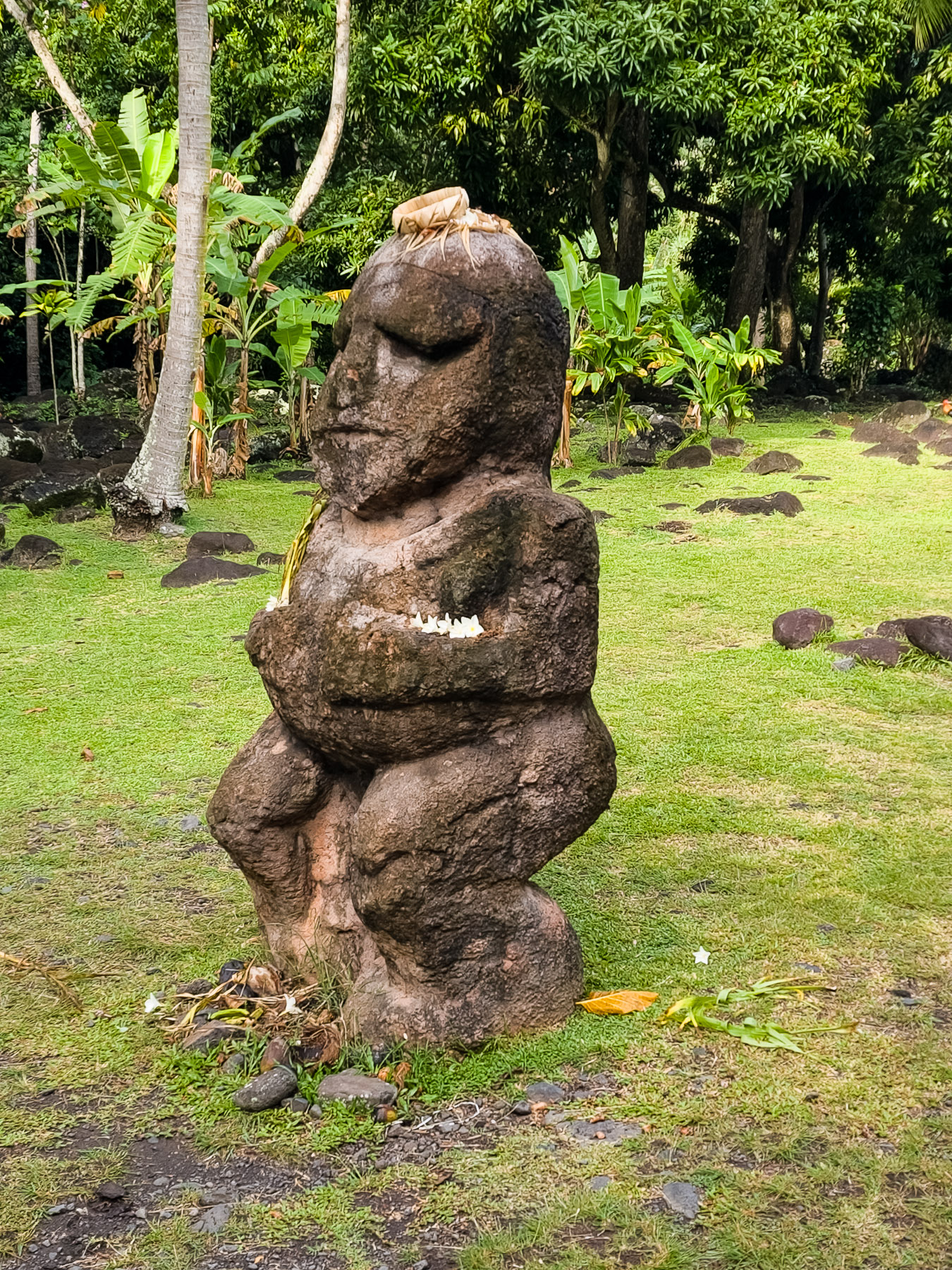
Our excursion on Nuku Hiva was a motor vehicle tour of the island. We started at the local town of Taioh’e and visited the island’s Notre Dame Cathedral and the ancient settlement of Tohua Temehea before heading up the mountain road. We stopped at the top of the road for a scenic view of the harbor before heading down the other side into the scenic Taipivai valley. After a short stop we headed “to the end of the road”, literally; at the head of Comptroller Bay. From there it was back over the mountain road and to the ship.
Sun 3/2: Cruising the South Pacific
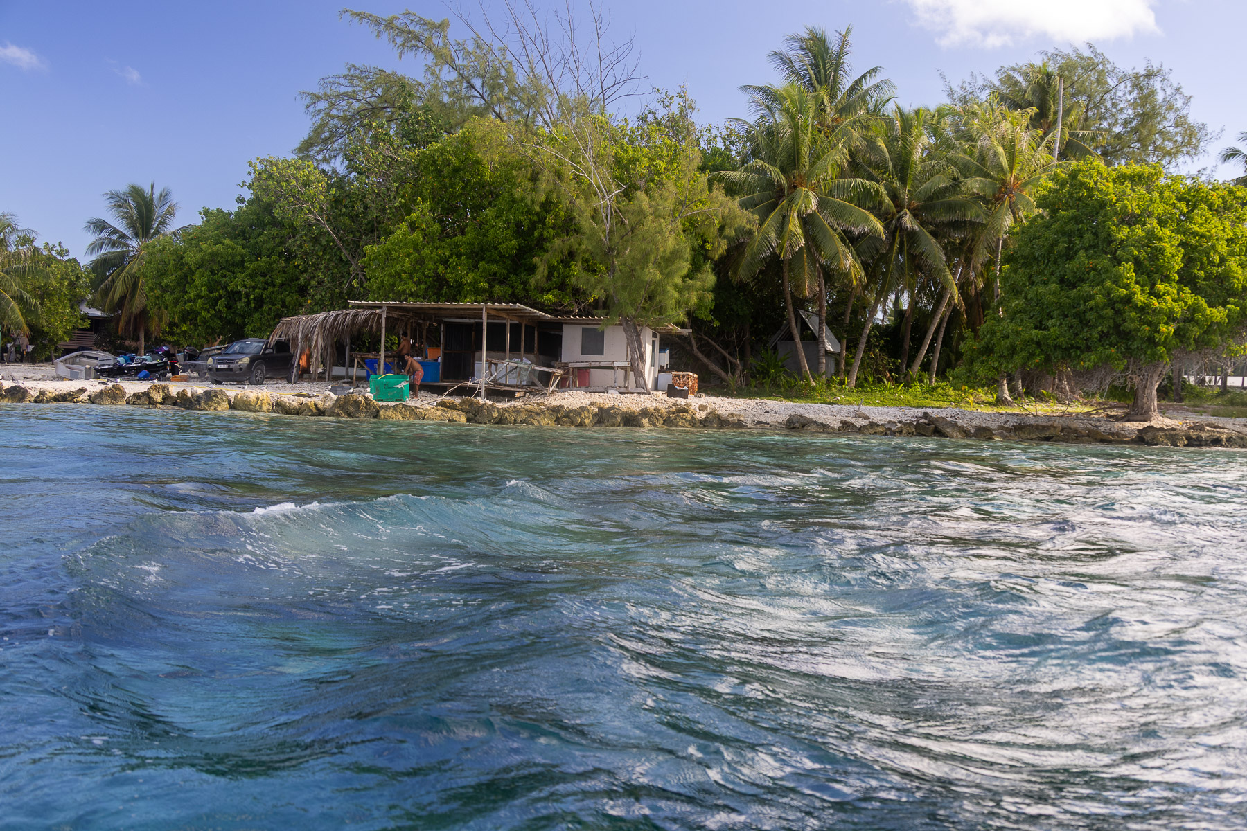
 Mon 3/3: Rangiroa Atoll, French Polynesia (anchor) (15°7’S, 147°39’W)
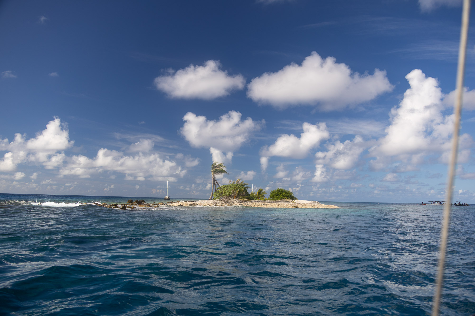
The atoll consists of about 415 motus, islets and sandbars comprising a total land area of about 66 sq mi. There are approximately one hundred narrow passages, called *hoa*, in the fringing reef. Only two islands, at the northern end of the atoll, are permanently inhabited. As of 2007, the total population was 2,473 inhabitants. The main villages are Avatoru (pop. 817), Tiputa (pop. 971), Ohutu (pop. 546), Taeo’o, Fenuaroa, Otepipi and Tevaro. Both Avatoru and Tiputa were built on neighboring islands, 7.8 and 2.5 mi in length respectively. They are separated by the major Tiputa Pass. The other major pass of the atoll is Avatoru Pass, immediately to the west of the island of Avatoru.
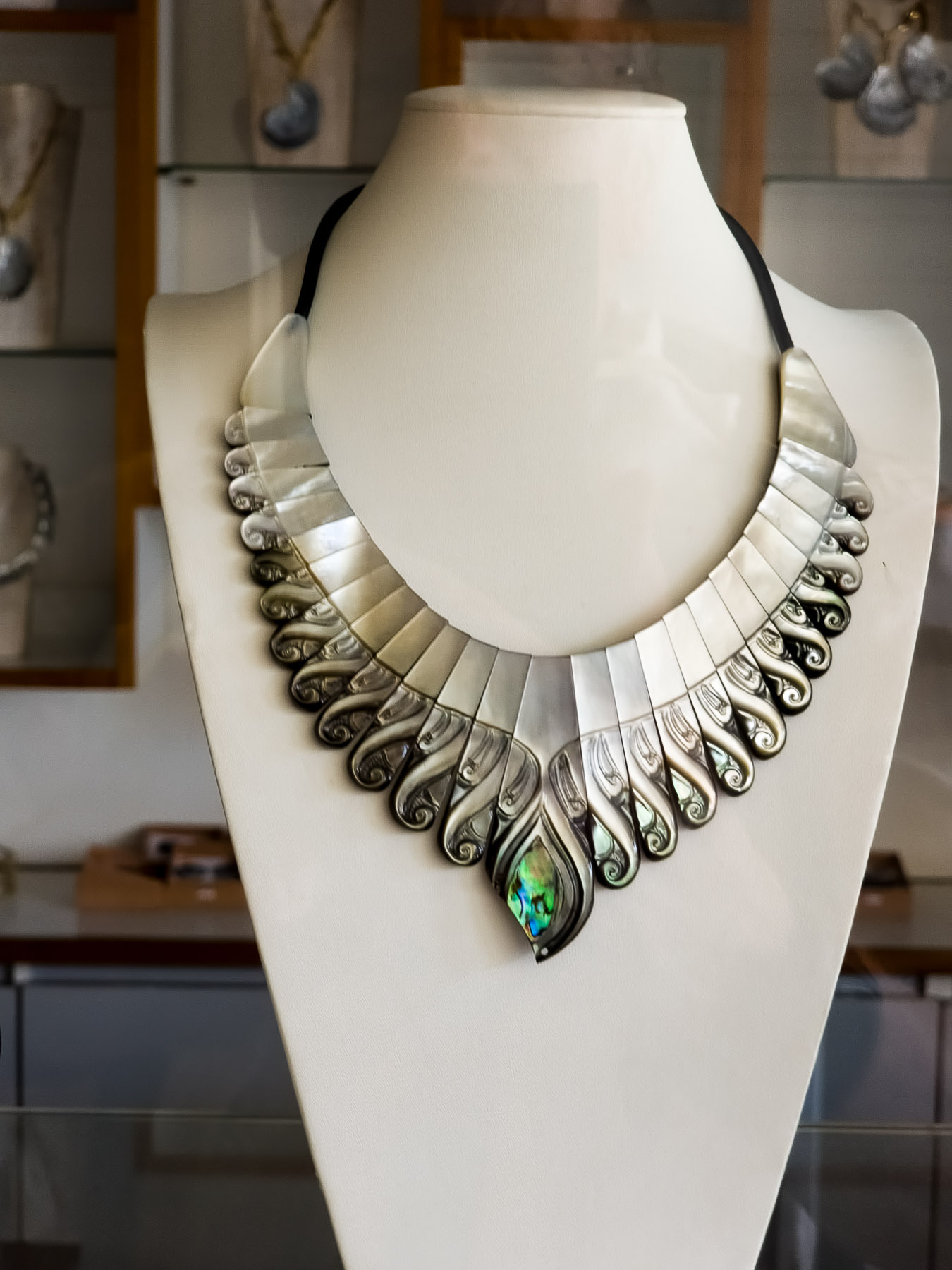
The breeding of pearl oysters in the lagoon can produce black pearls. Black pearls are abundant in the atolls in the atolls of French Polynesia. These pearls, which have a wide range of natural colours, from white to dark and all shades of grey, are the only cultured pearls in the world with so many different natural colours as the famous green rose peacock.
The atoll of Rangiroa is also known for its vineyards, which are unique in the world. The vines grow on the edge of a lagoon beside coconuts, and produce two harvests per year. The winery is in the heart of the village of Avatoru. The grapes are brought to the winery by boat.
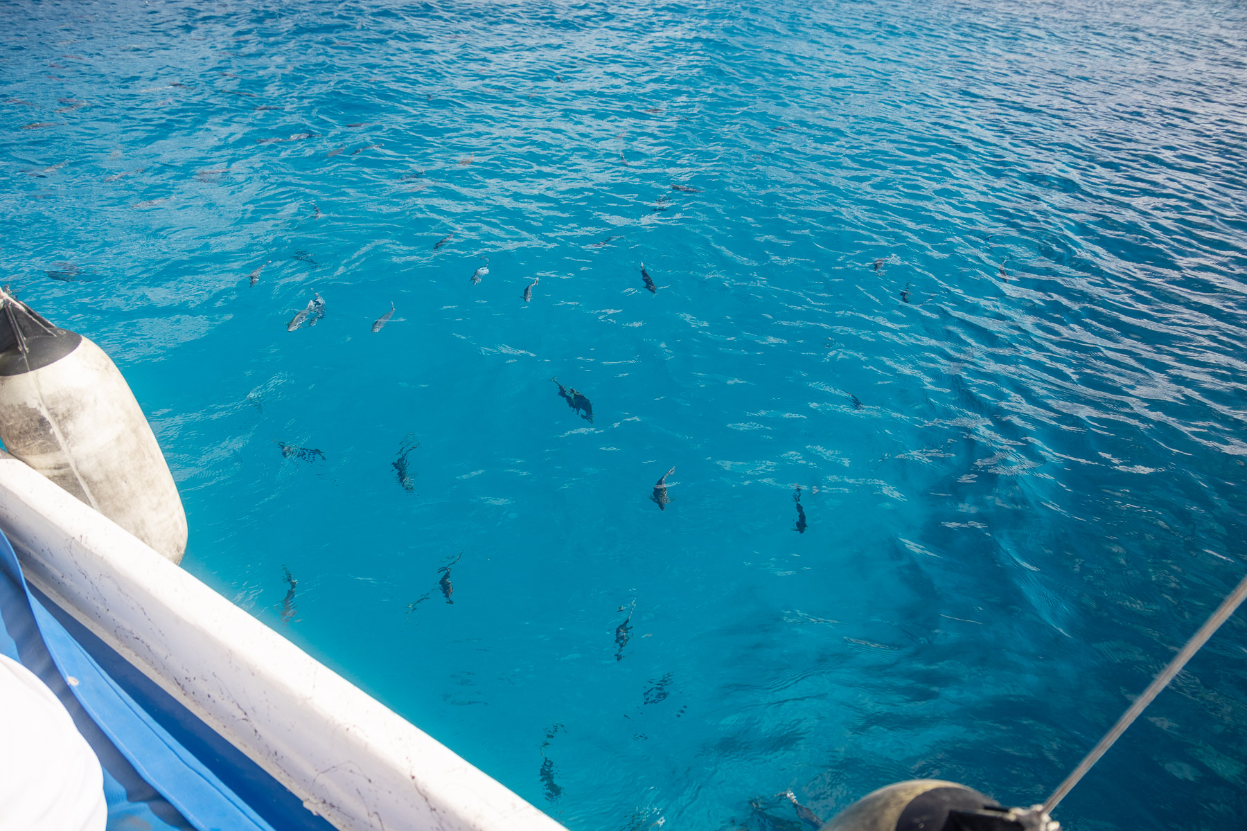
Rangiroa is a major underwater diving destination because of the lagoon’s clear waters and diverse marine fauna.
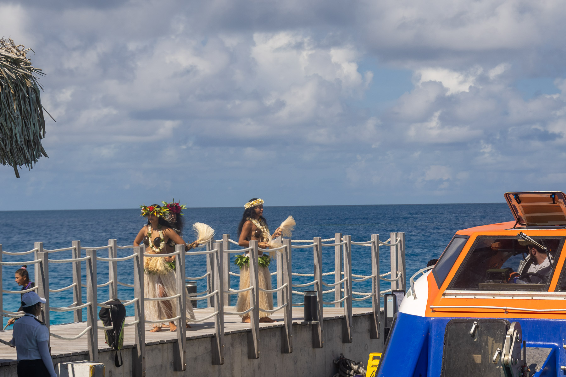
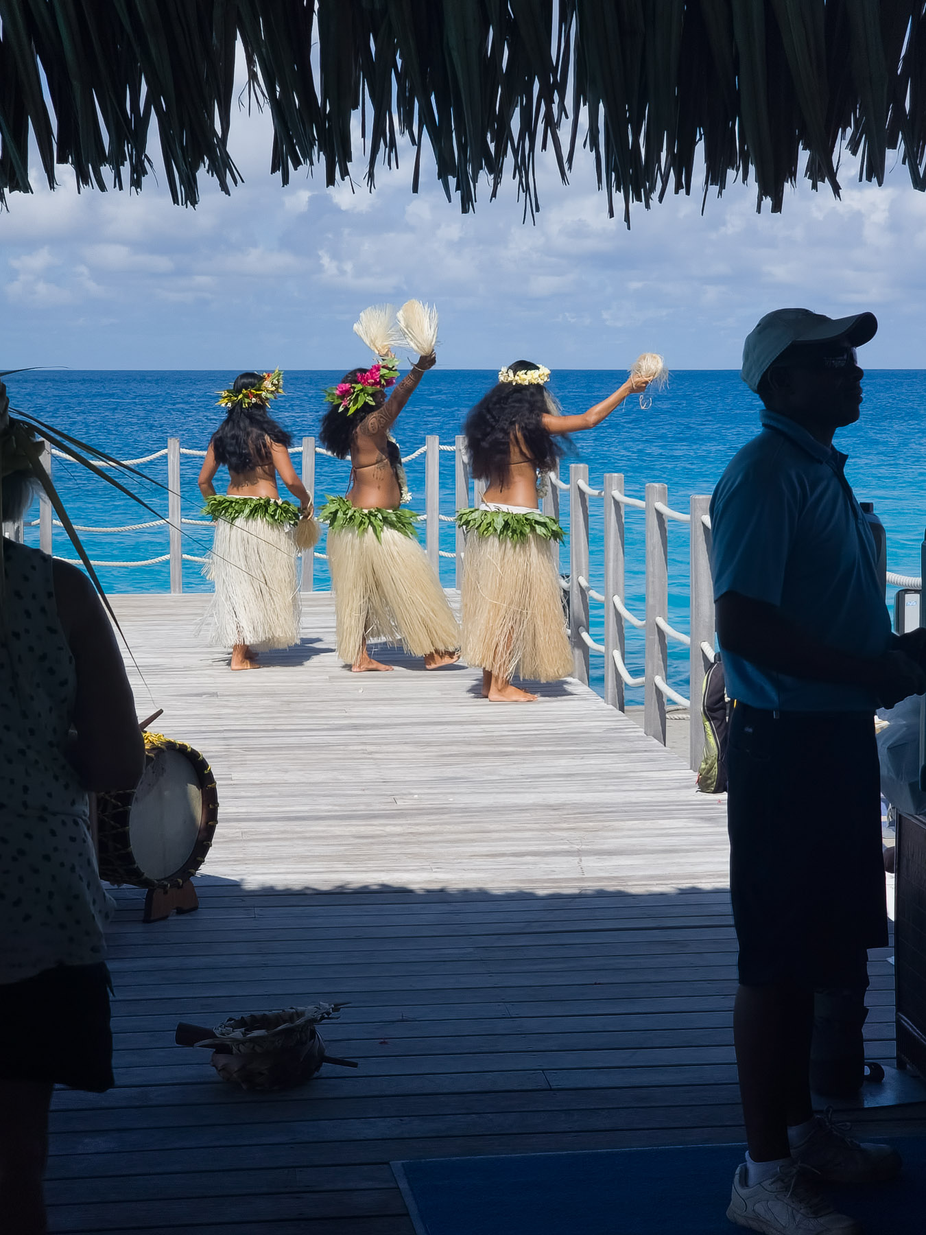
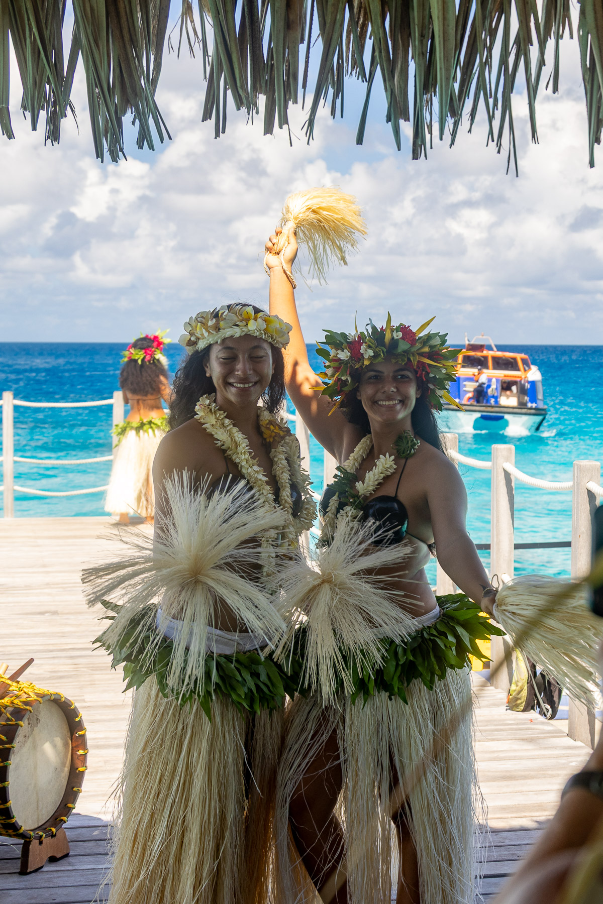
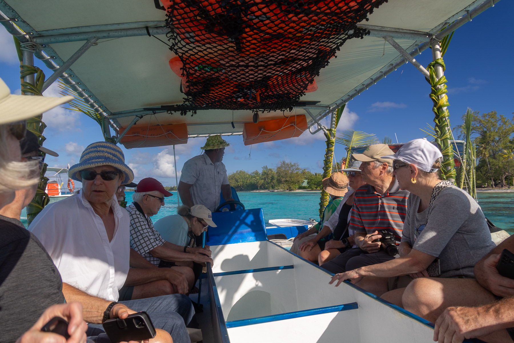
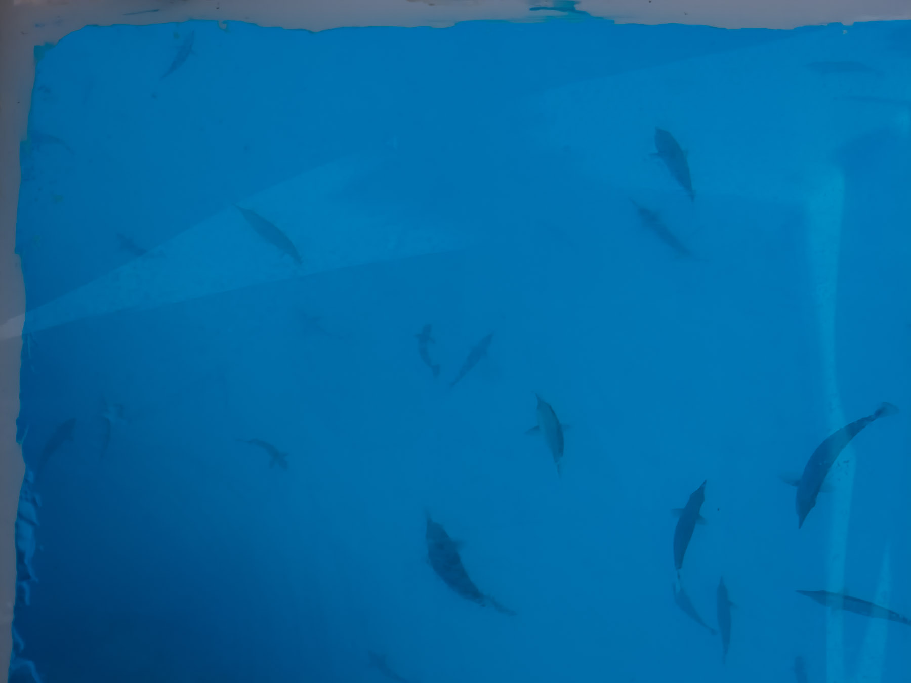
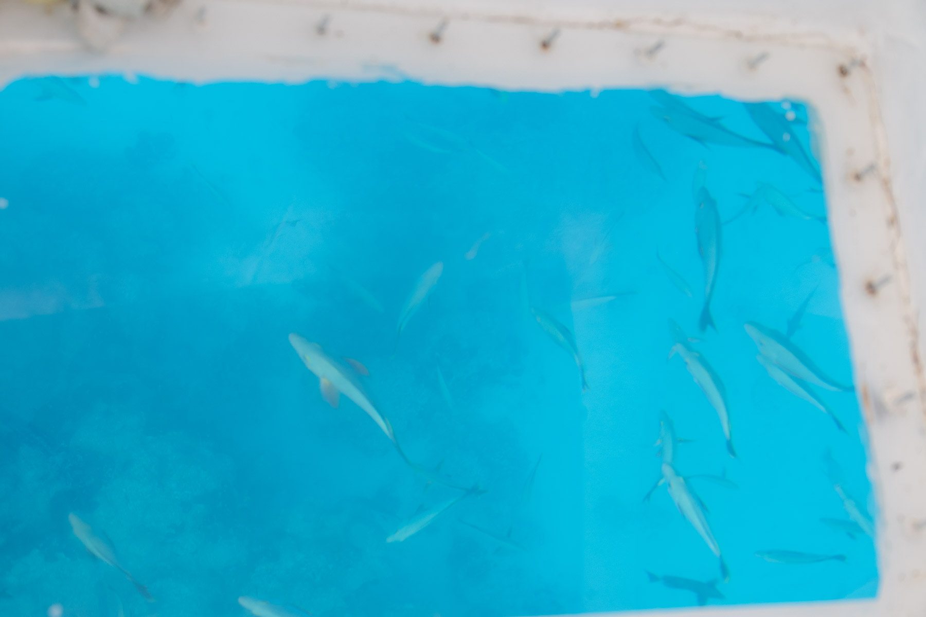
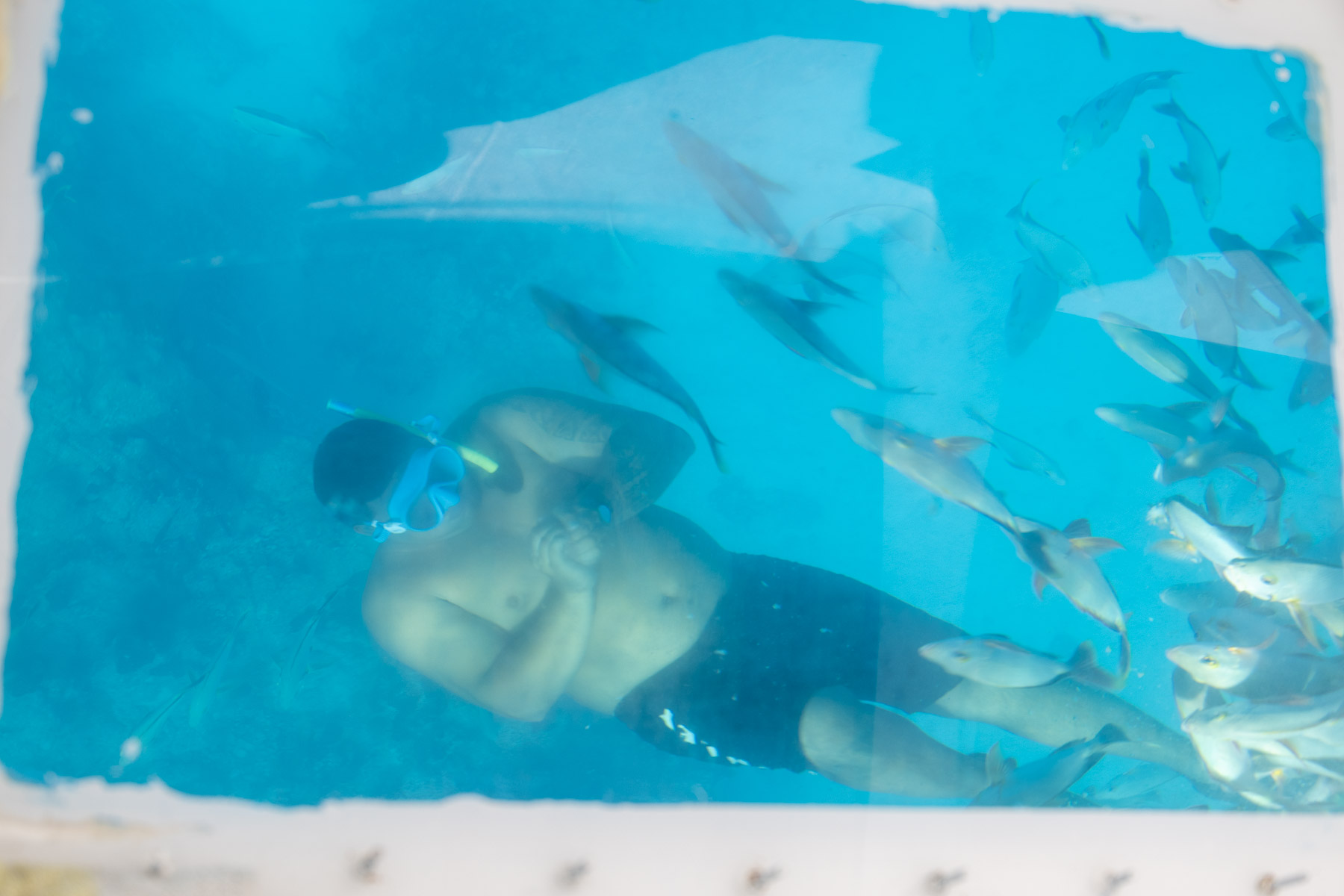
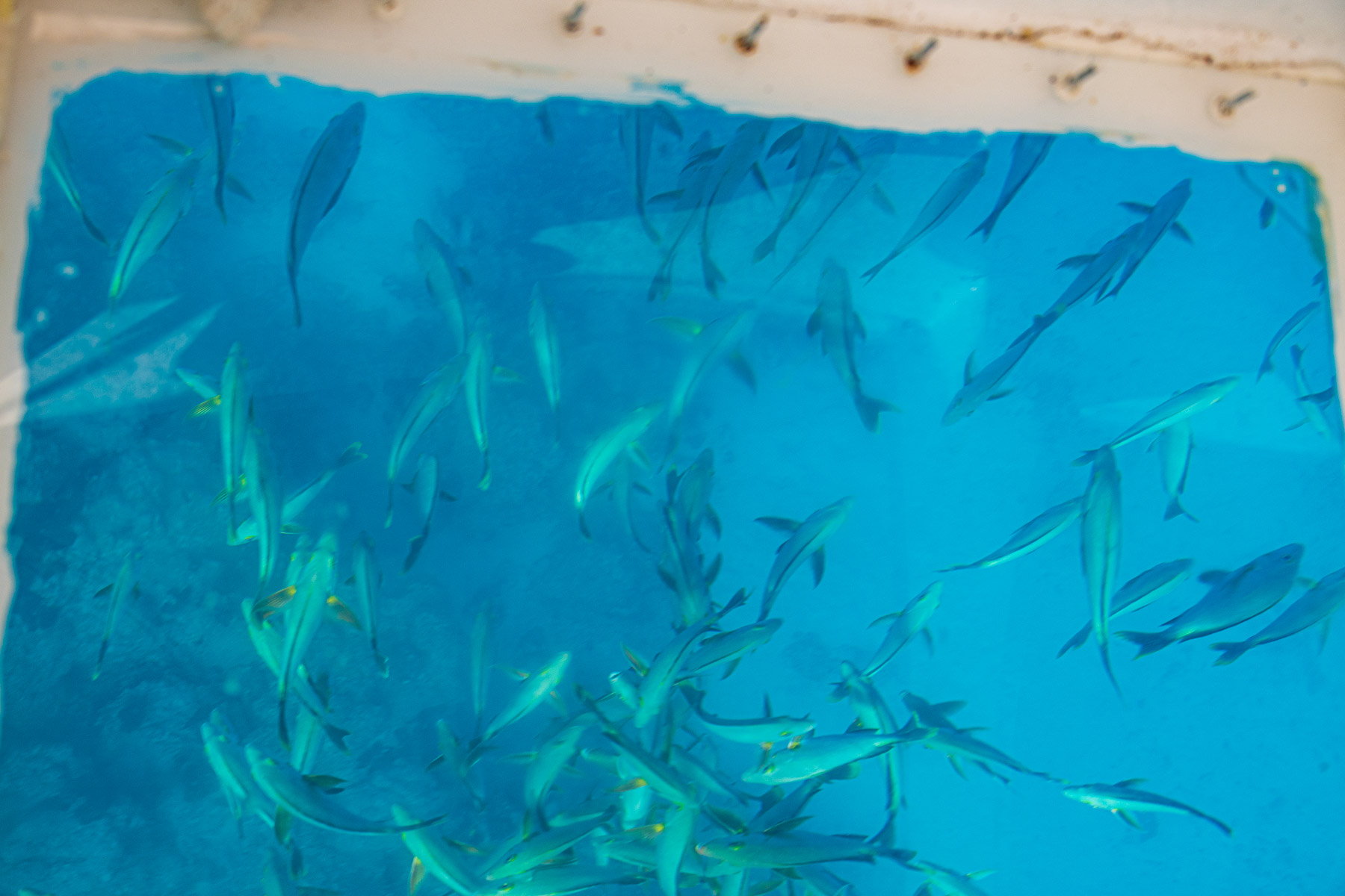
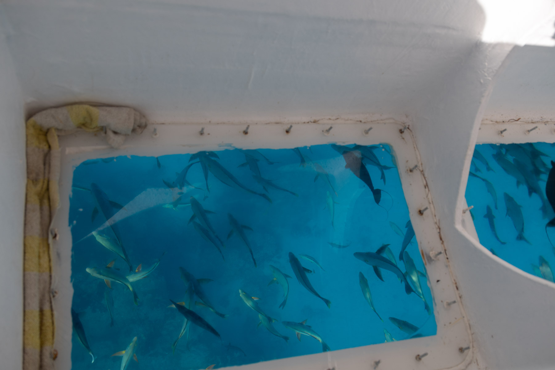
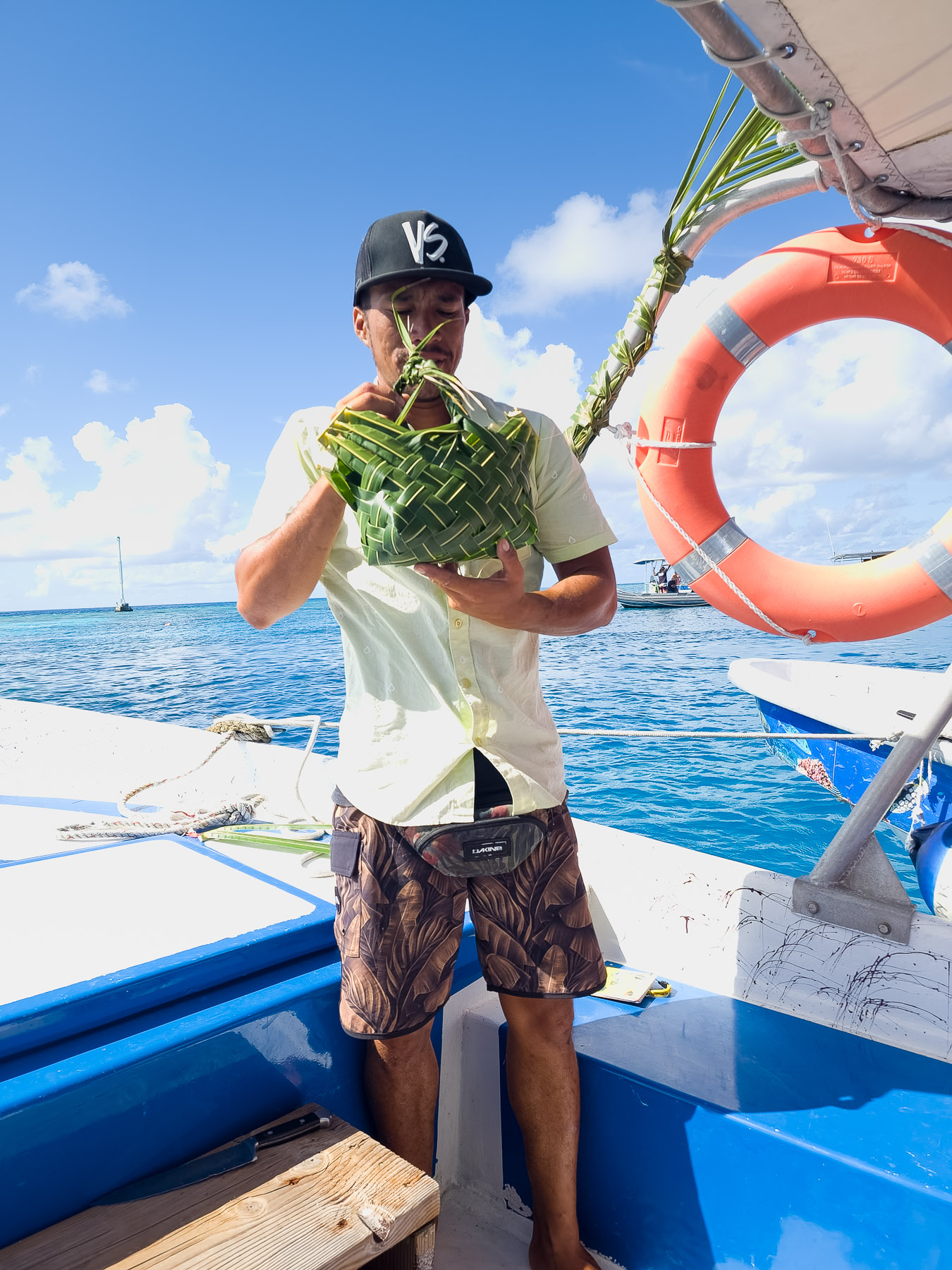
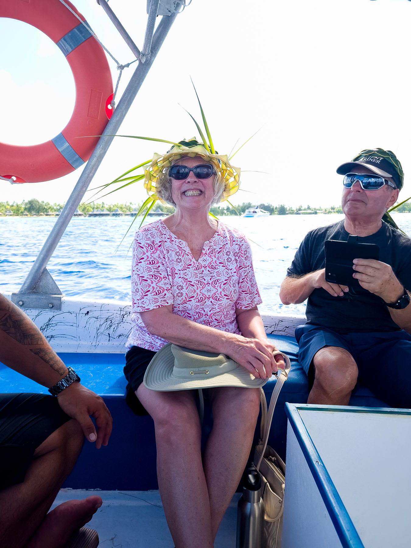
On arriving on the atoll we were greeted by a trio of Polynesian dancers before we embarked on our glass bottom boat for our ride. We headed out to a nearby reef to watch the fish swimming below us. One of the boat’s crew went in the water with some bread to attract more fish.
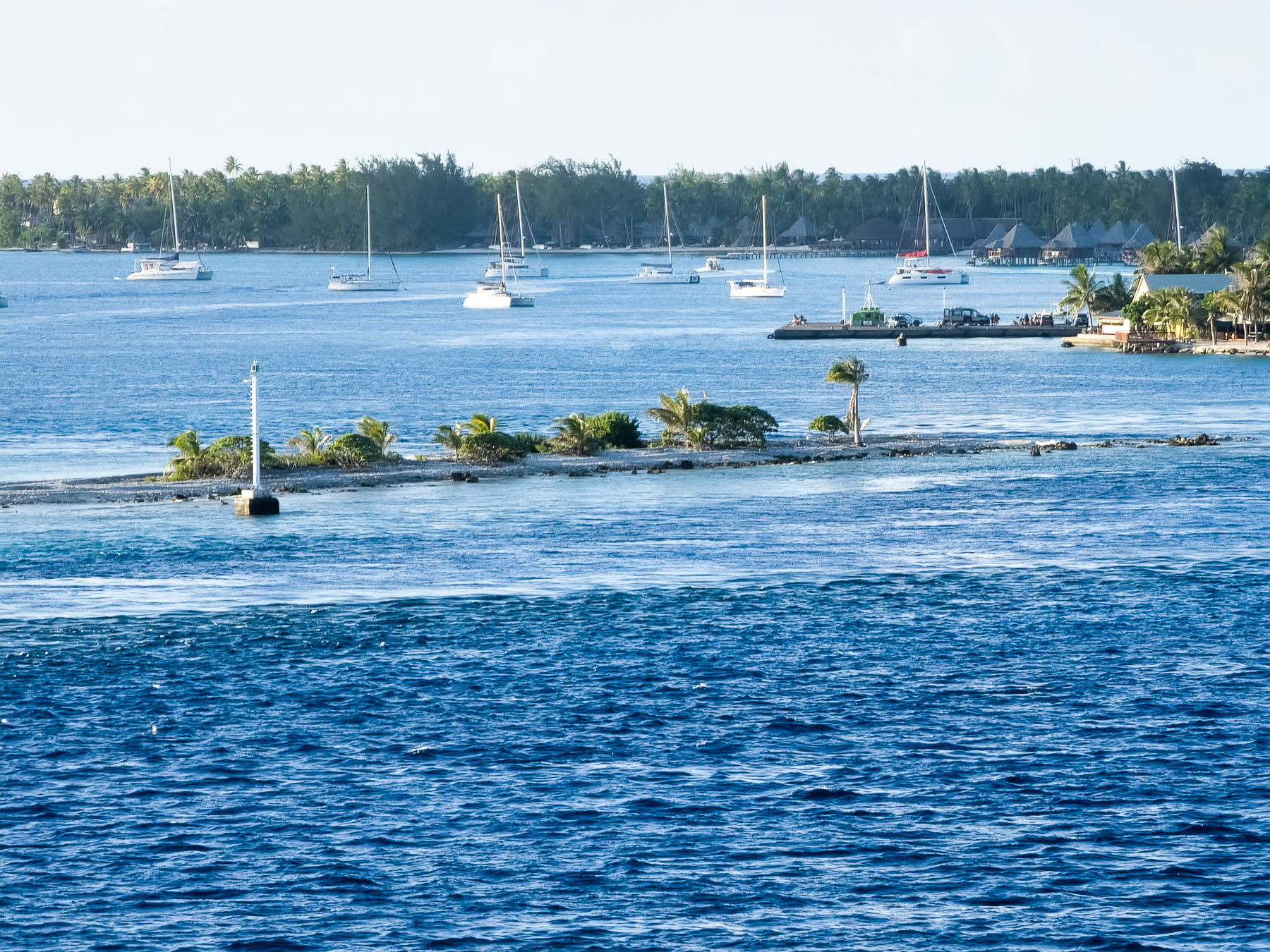
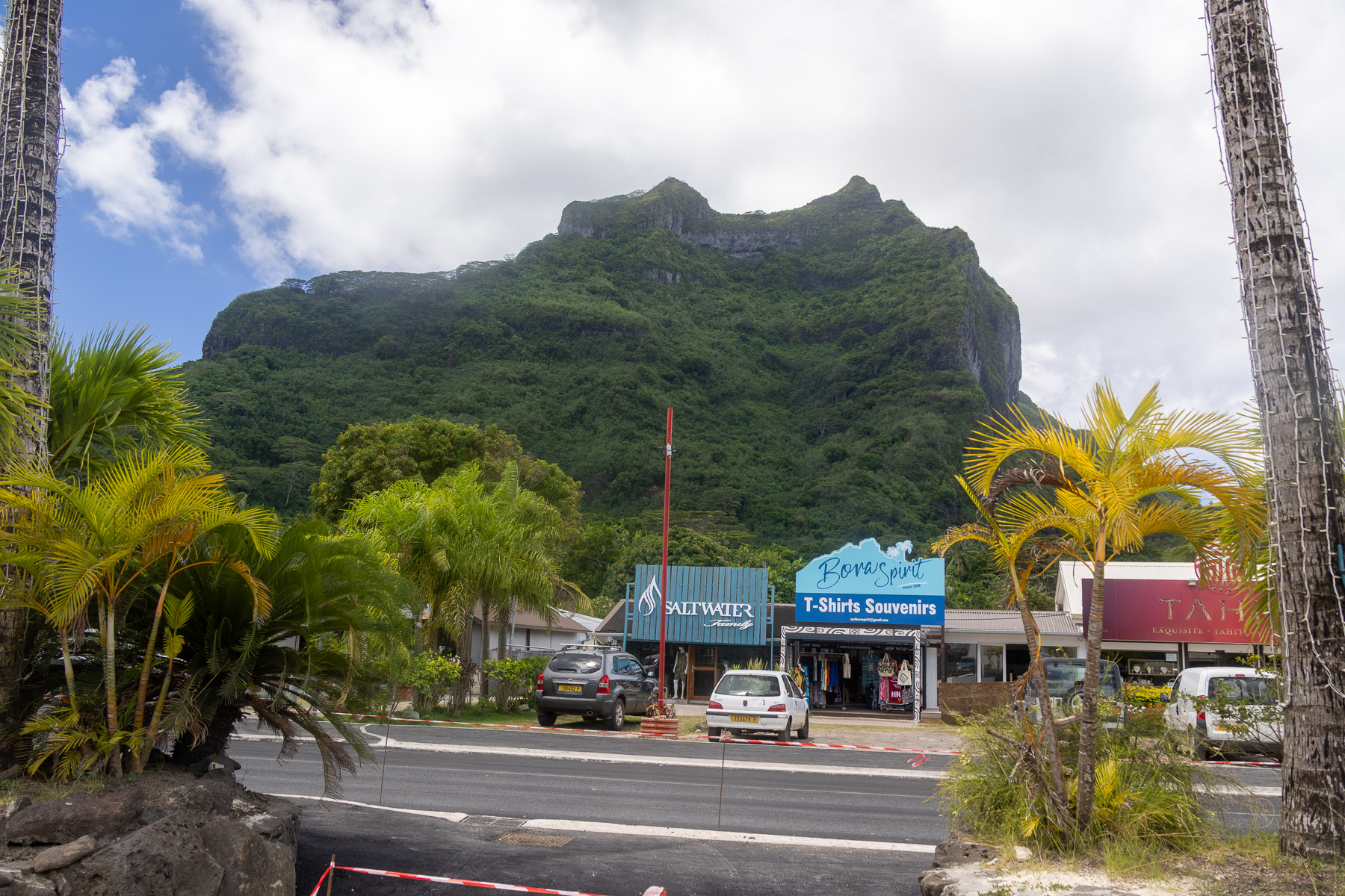
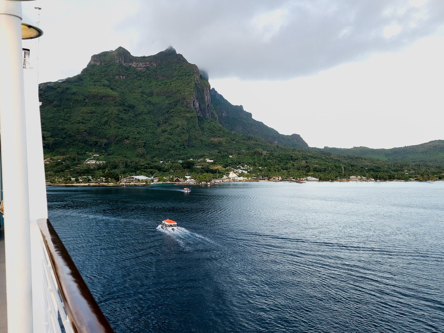
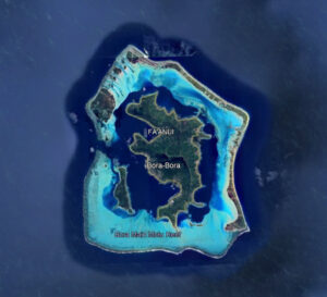 Tue 3/4: Bora Bora, French Polynesia (anchor) (16°29’S – 151°44’W)
Population: 10,000, Area: 11 mi2, 5 mi x 3mi
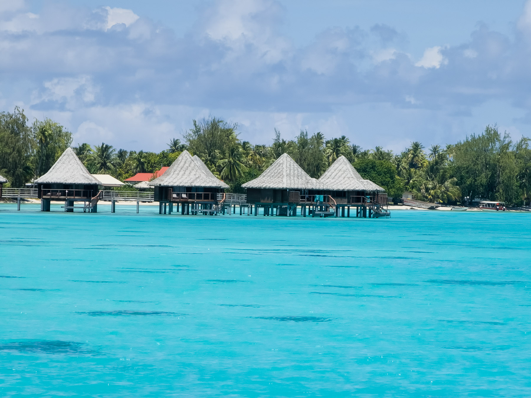
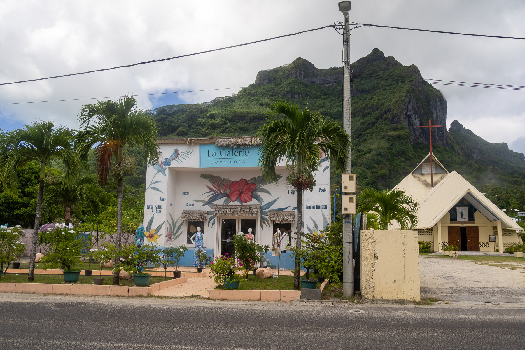
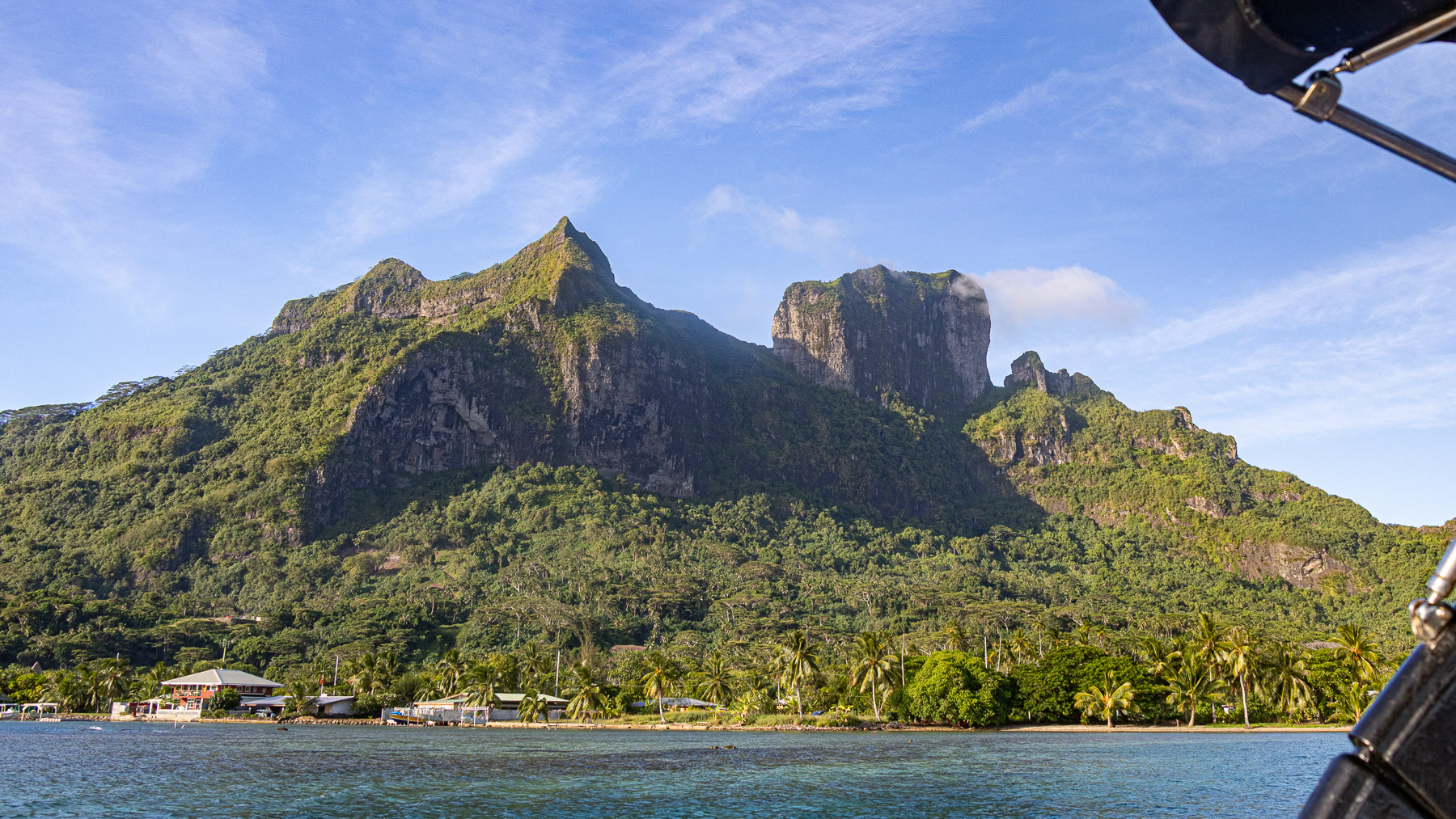
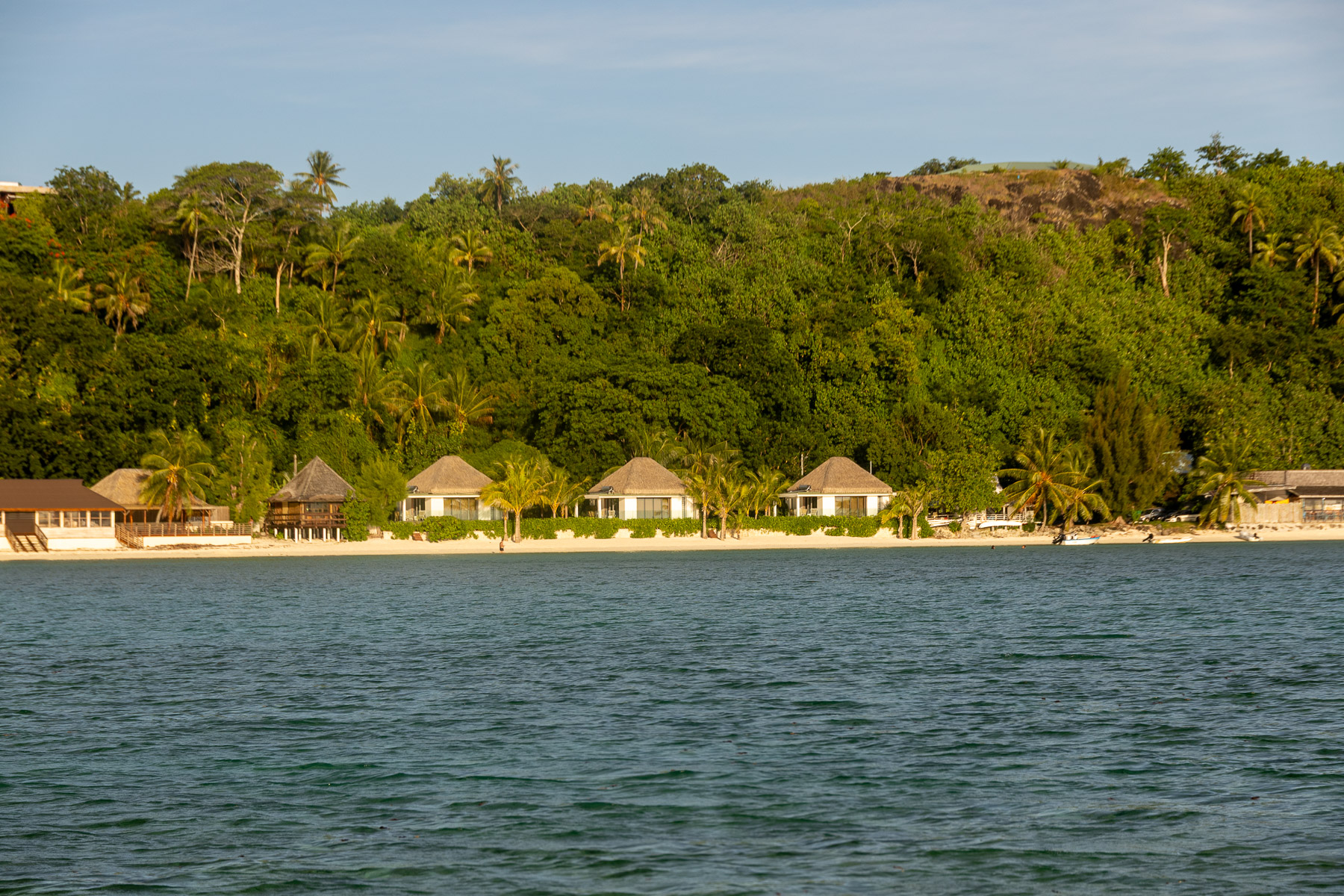
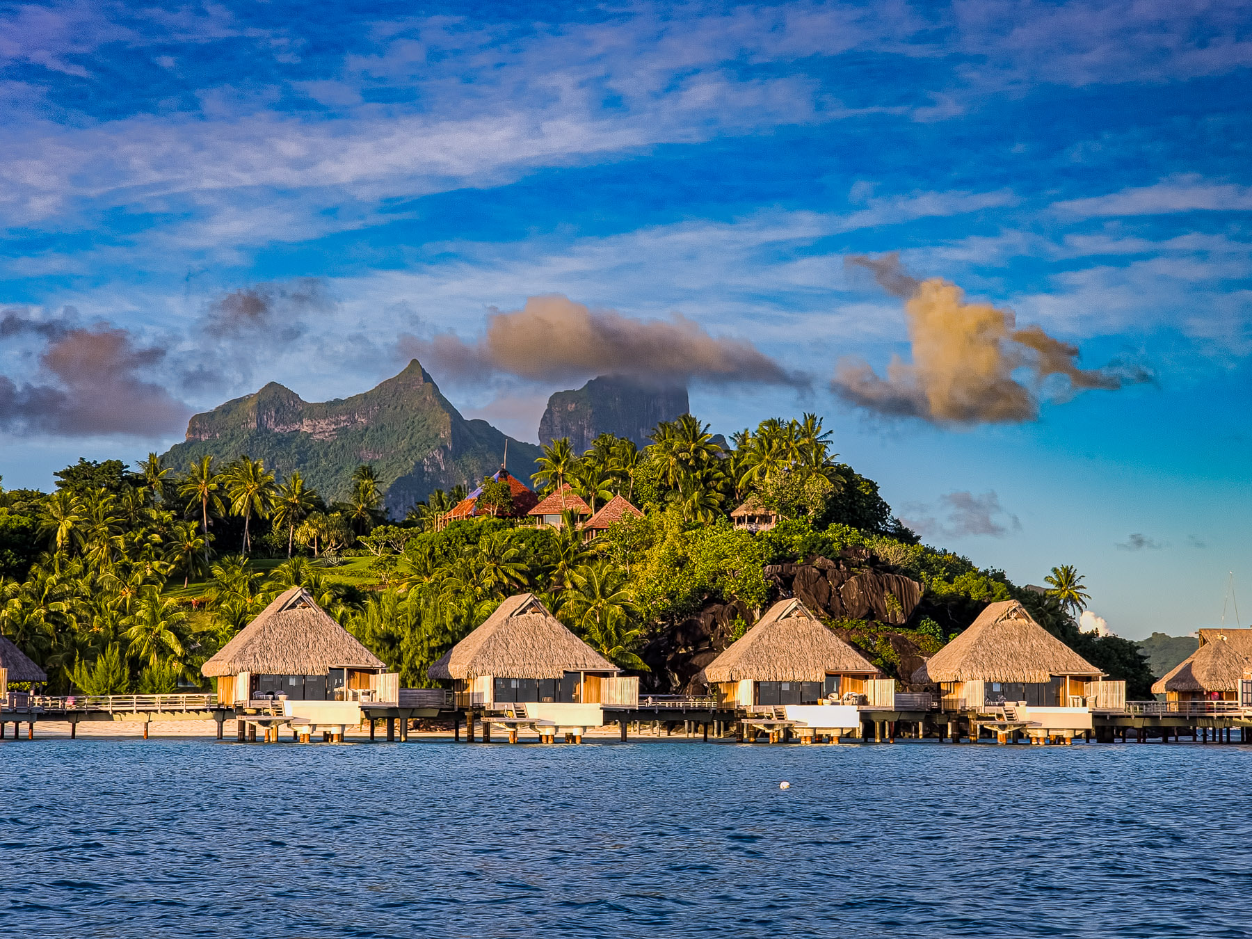
Bora Bora is a major international tourist destination, famous for its seaside and even offshore luxury resorts. Its major settlement, Vaitape, is on the western side of the main island, opposite the main channel leading into the lagoon.
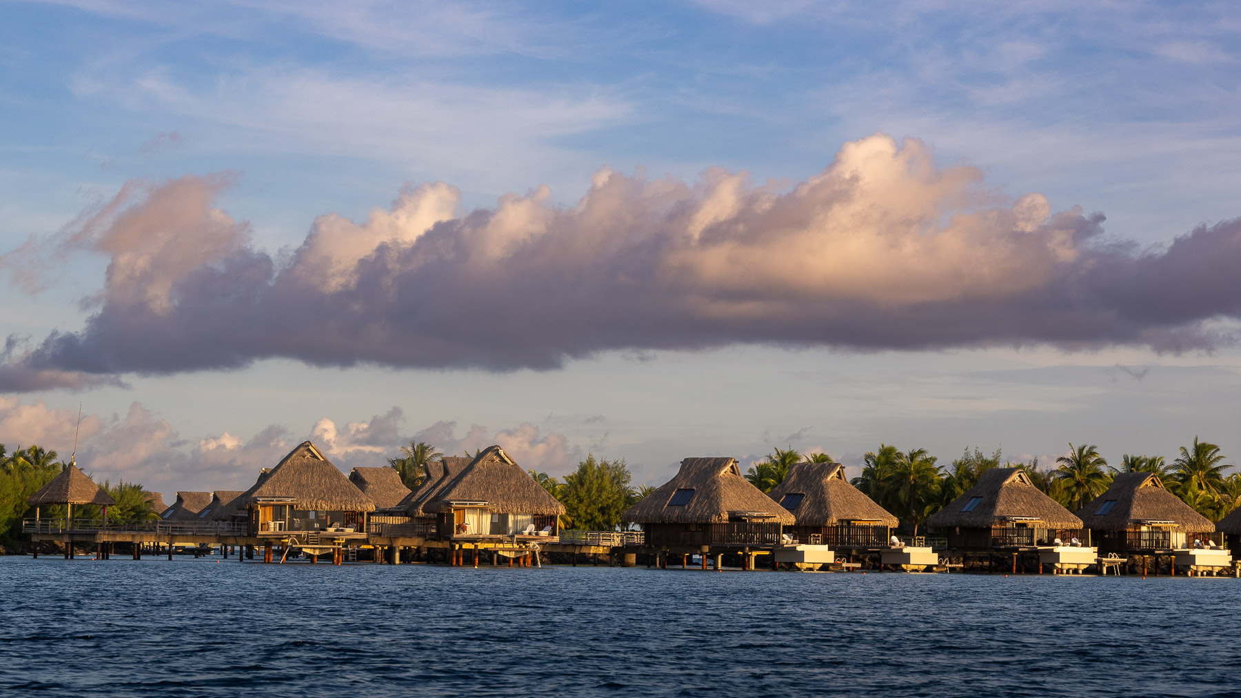
The island’s economy is driven almost entirely by tourism. Several resorts have been built on the *motu* surrounding the lagoon. Hotel Bora Bora opened in 1961, and nine years later the first over-water bungalows on stilts over the lagoon were built. Today over-water bungalows are a standard feature of most Bora Bora resorts.
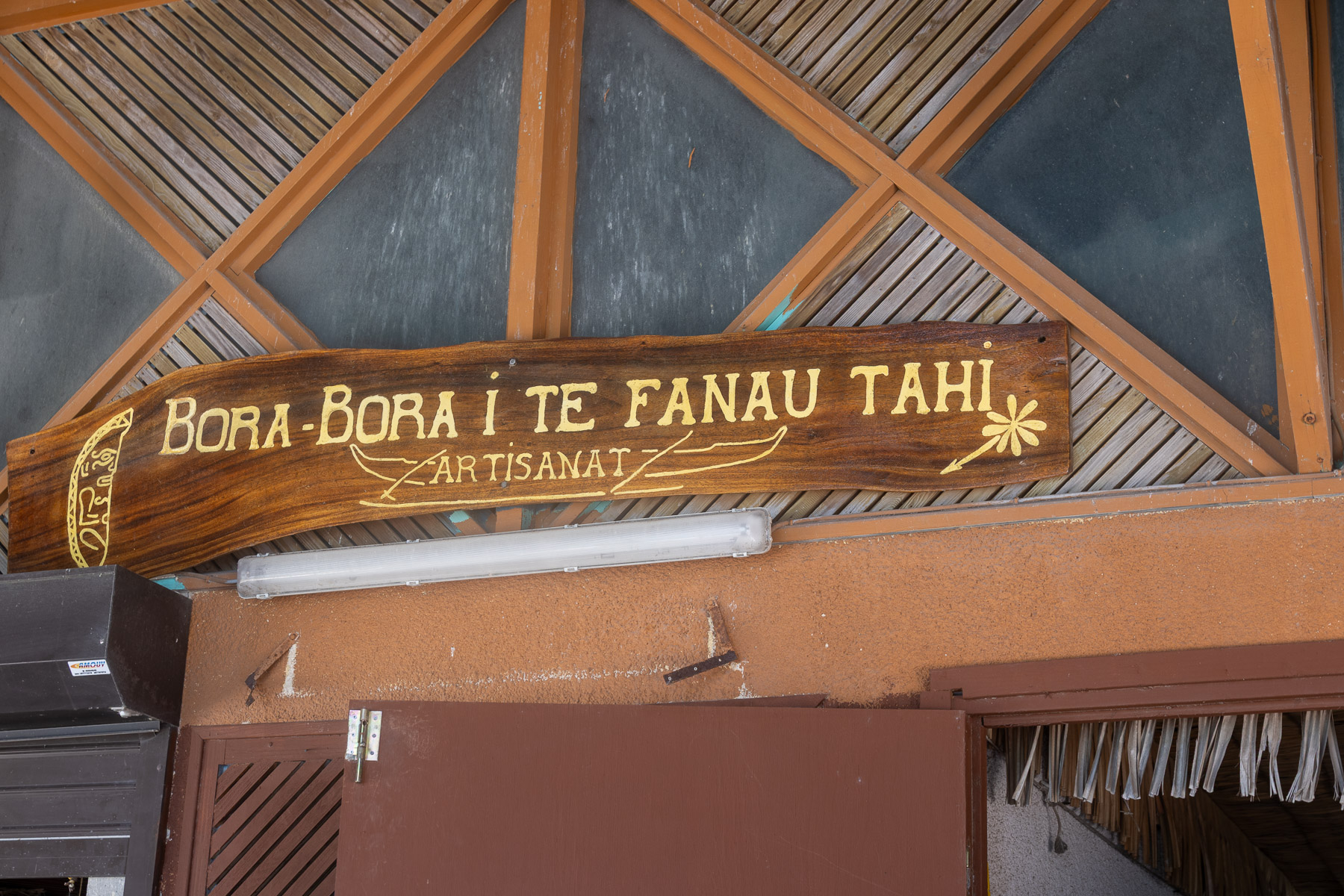
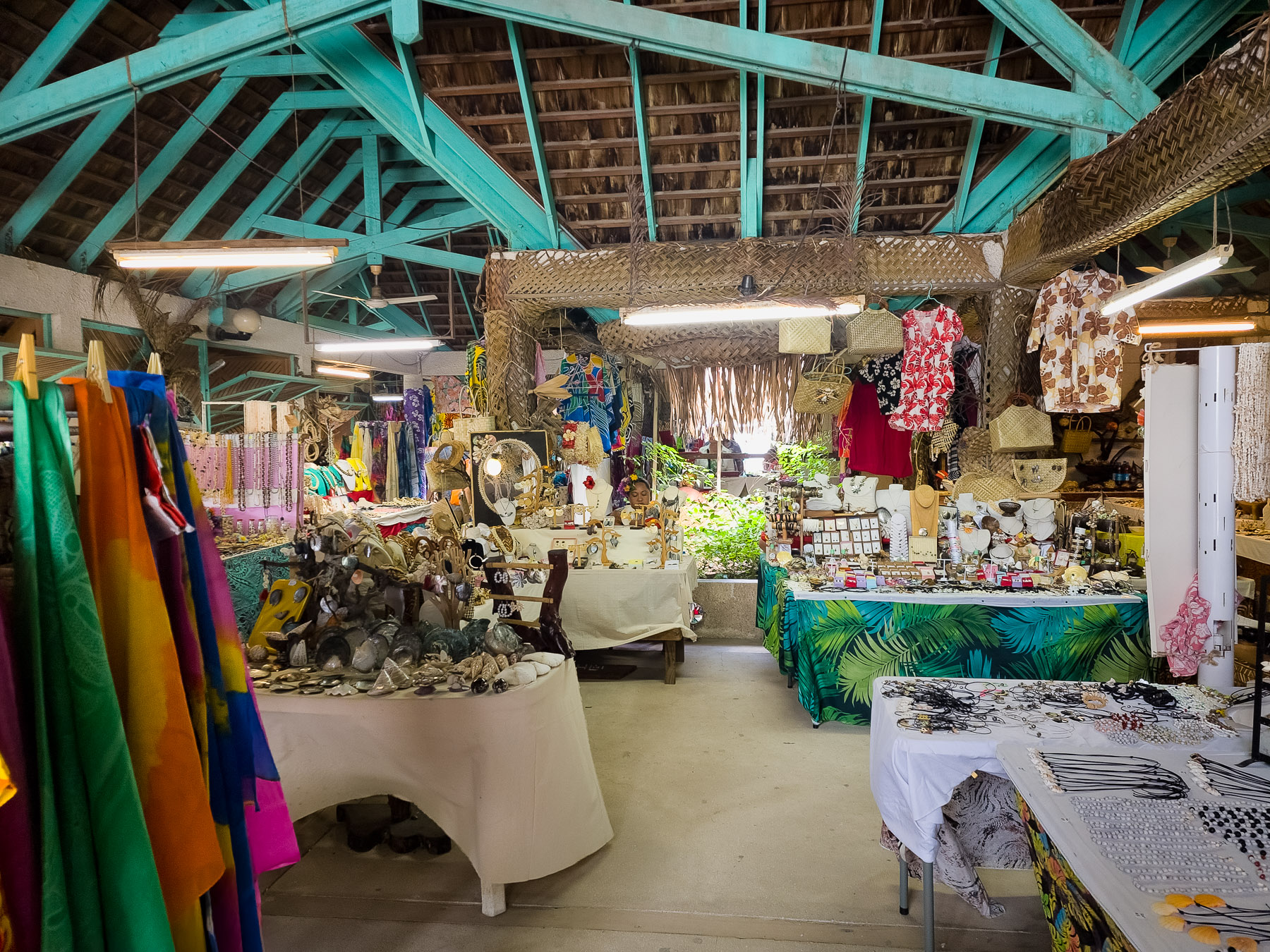
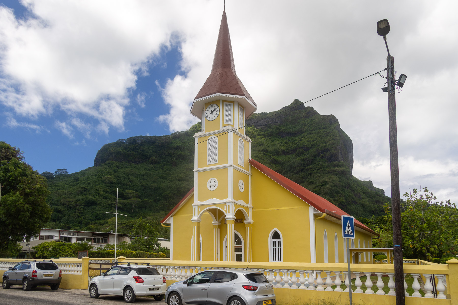
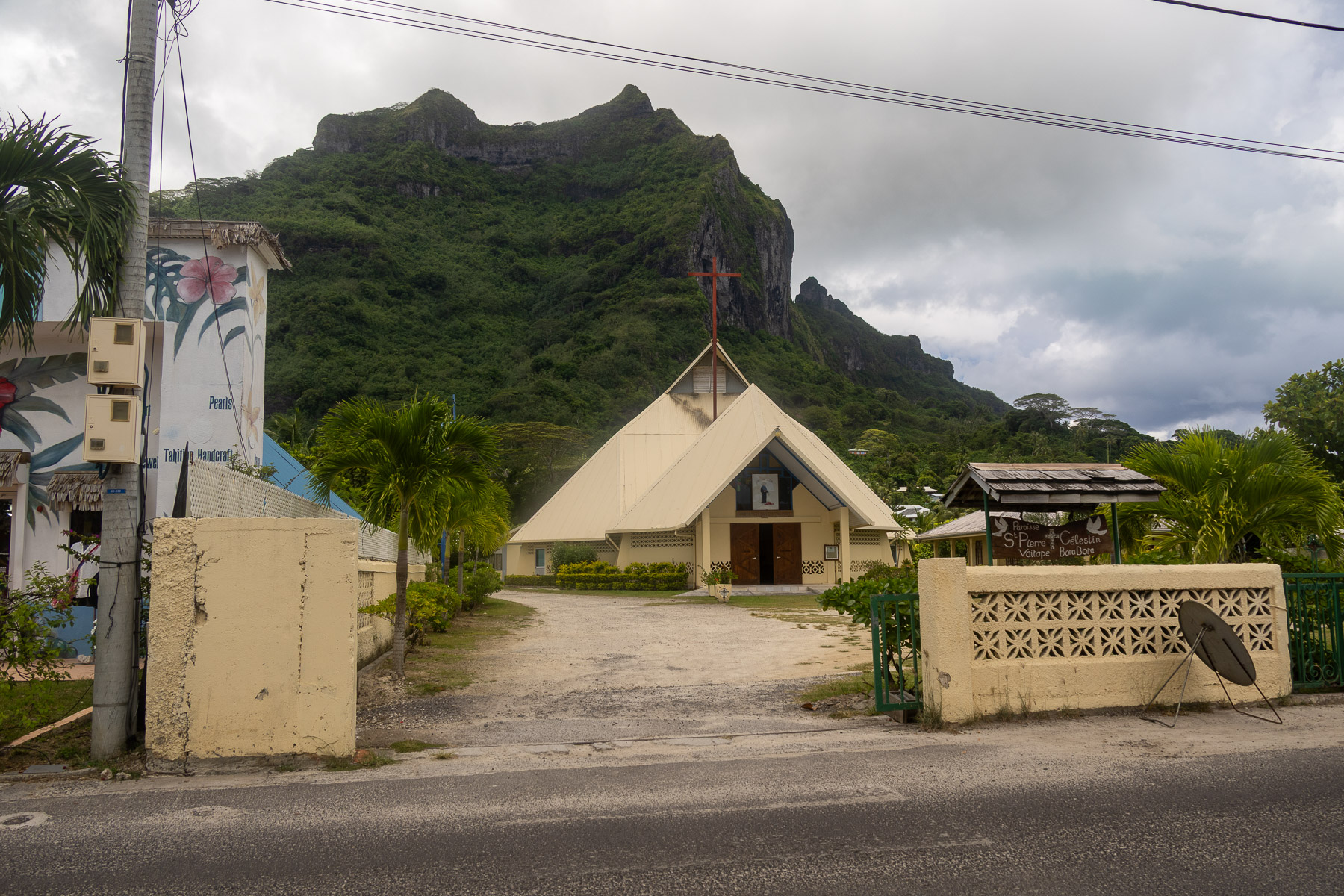
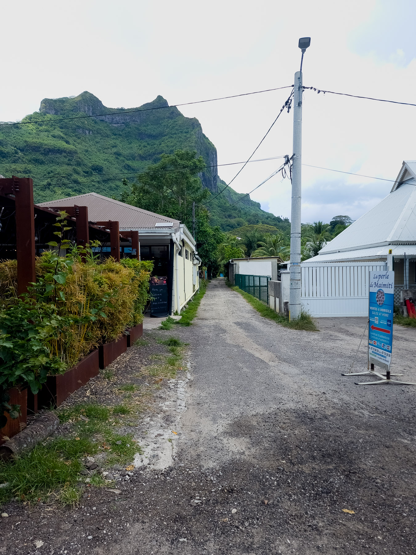
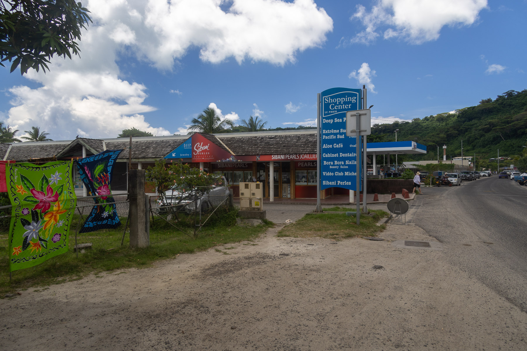
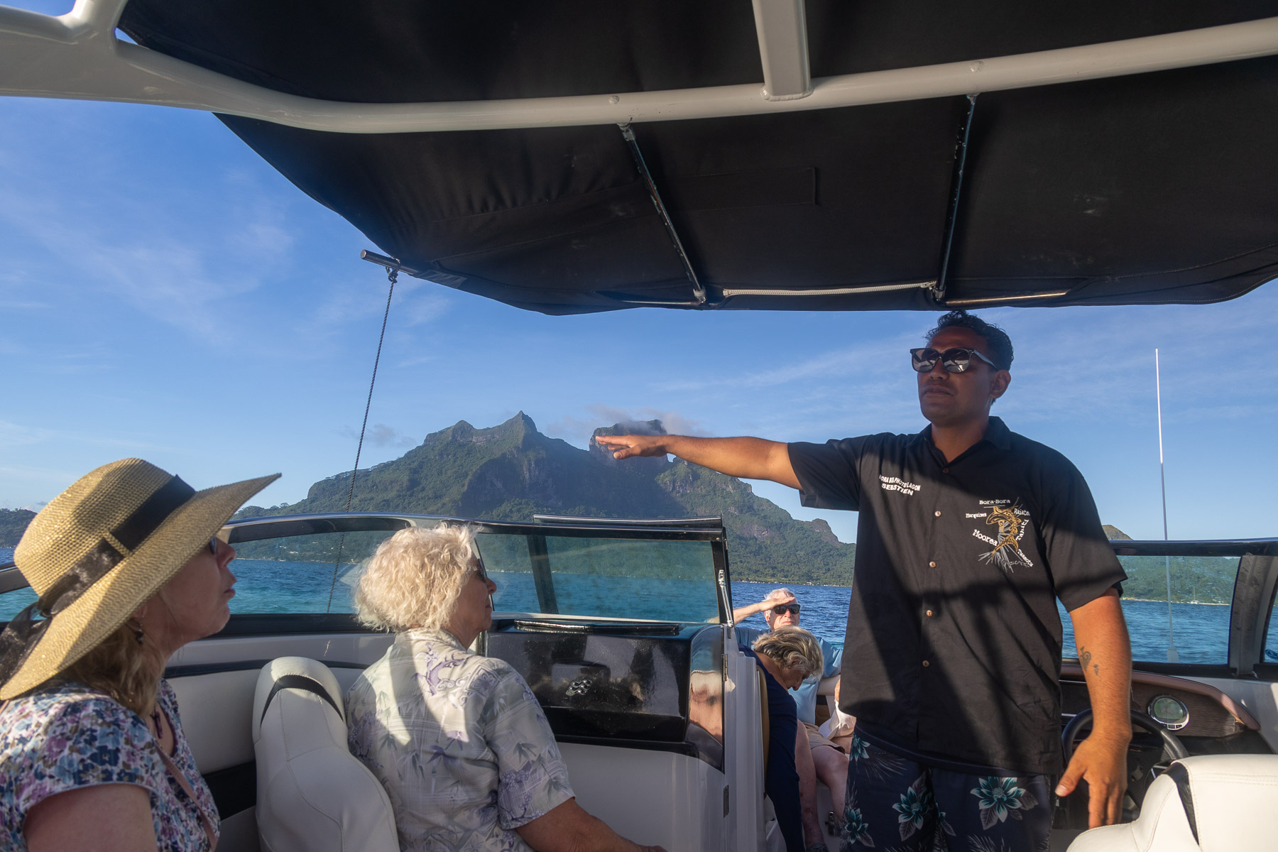
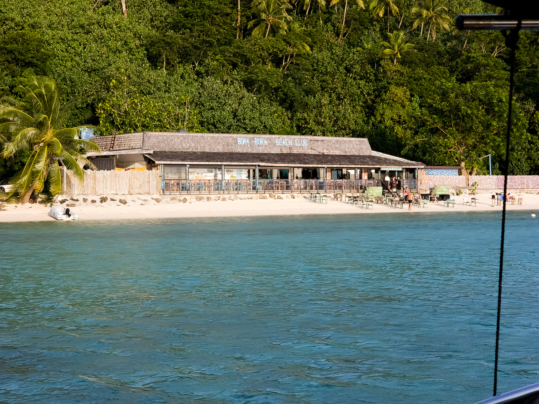
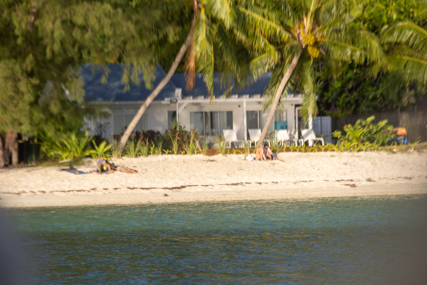
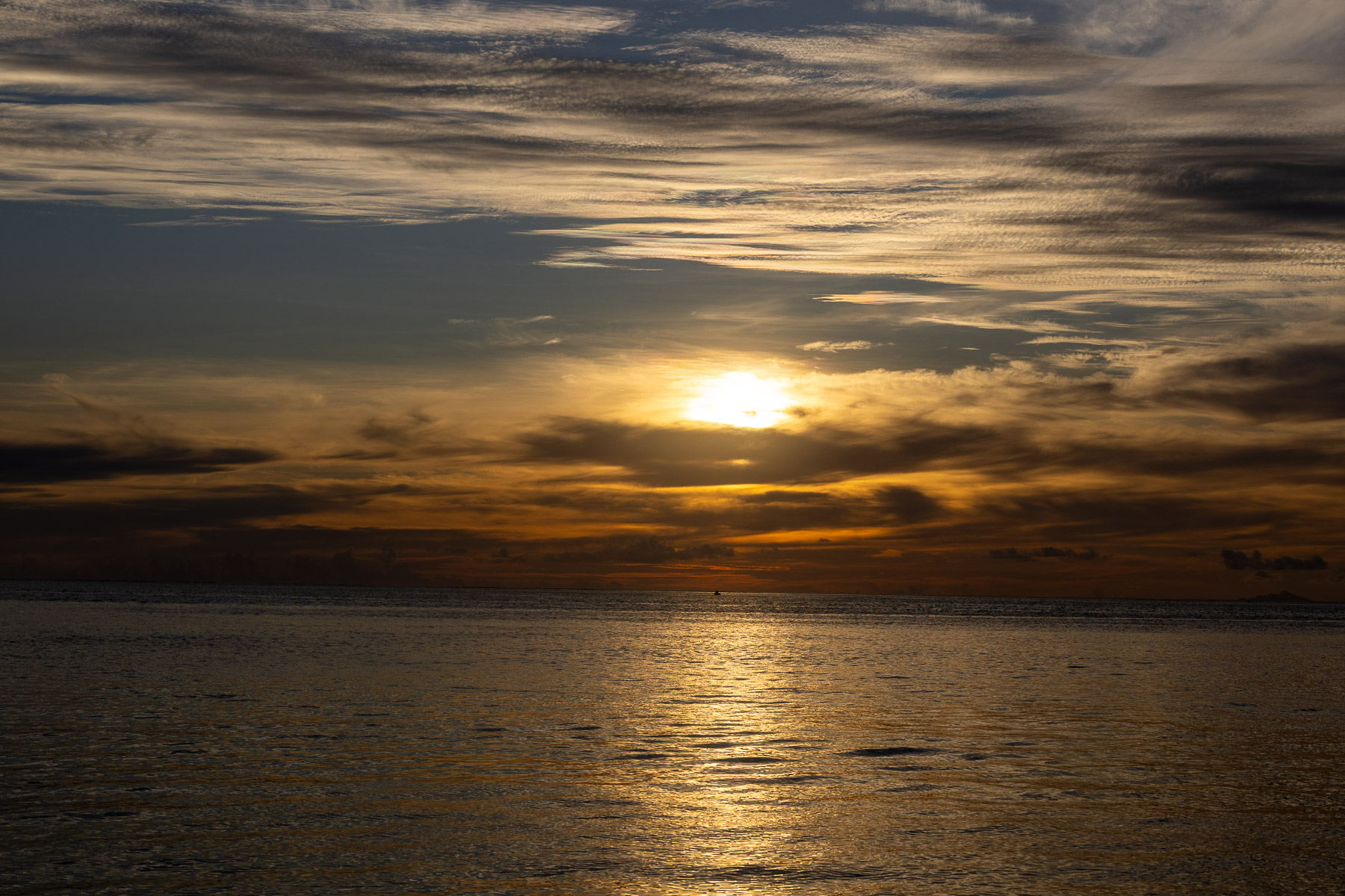
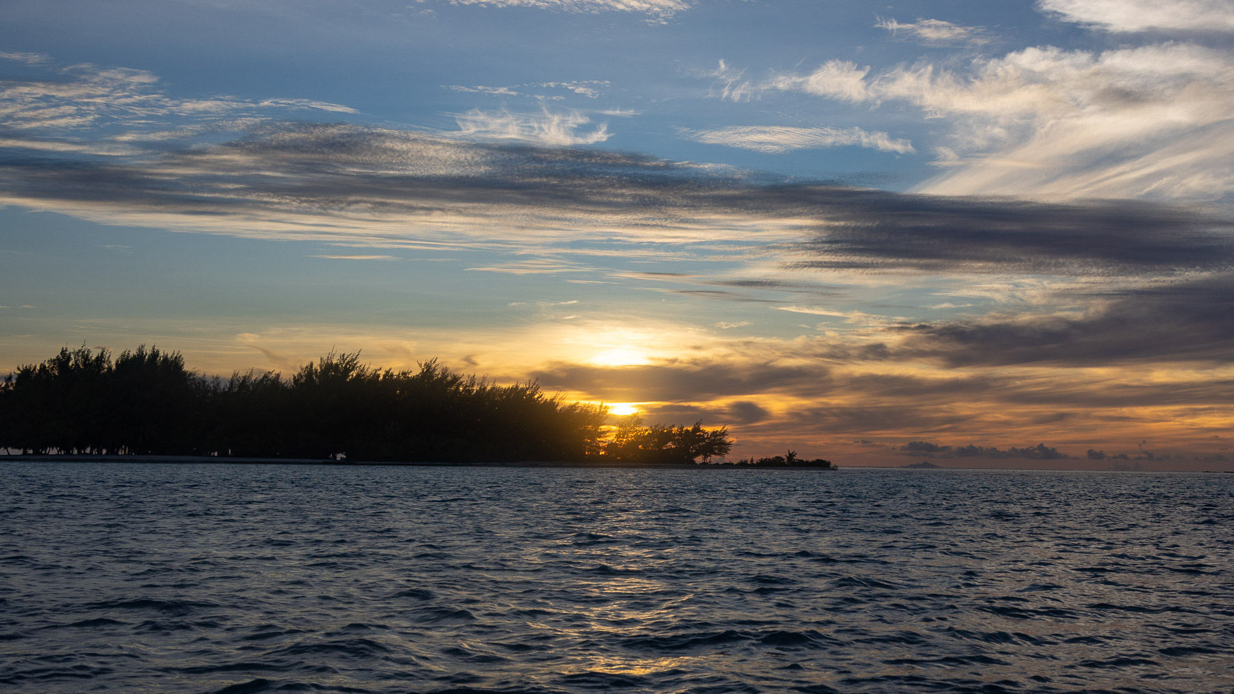
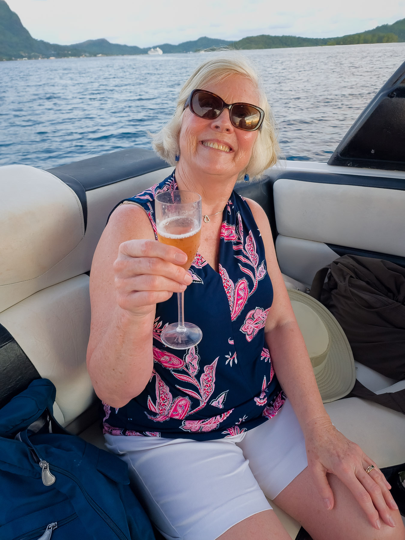
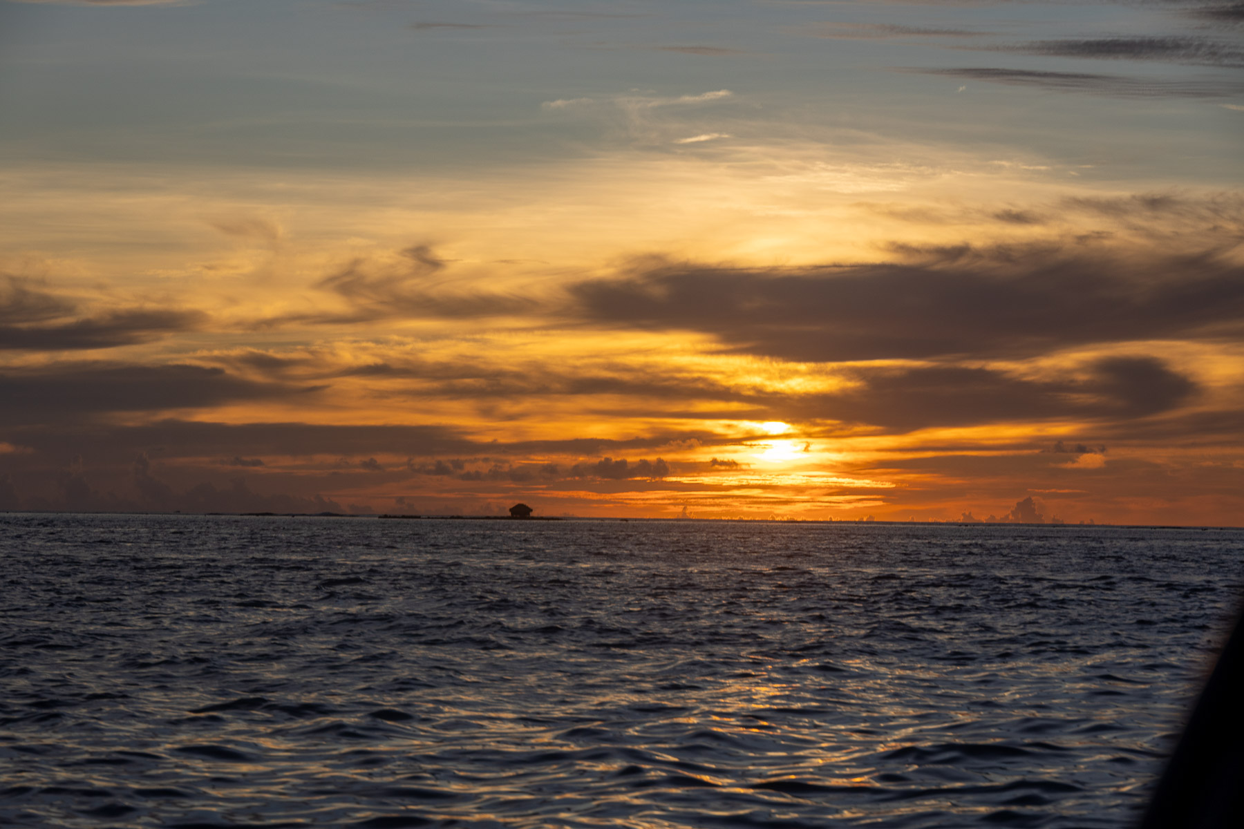
We remained at Bora Bora overnight to spend a second day there. We went ashore shortly after arriving and walked around the local town of Viatape before returning to the ship. Our excursion that day was a sunset cruise around the island and we were not disappointed.
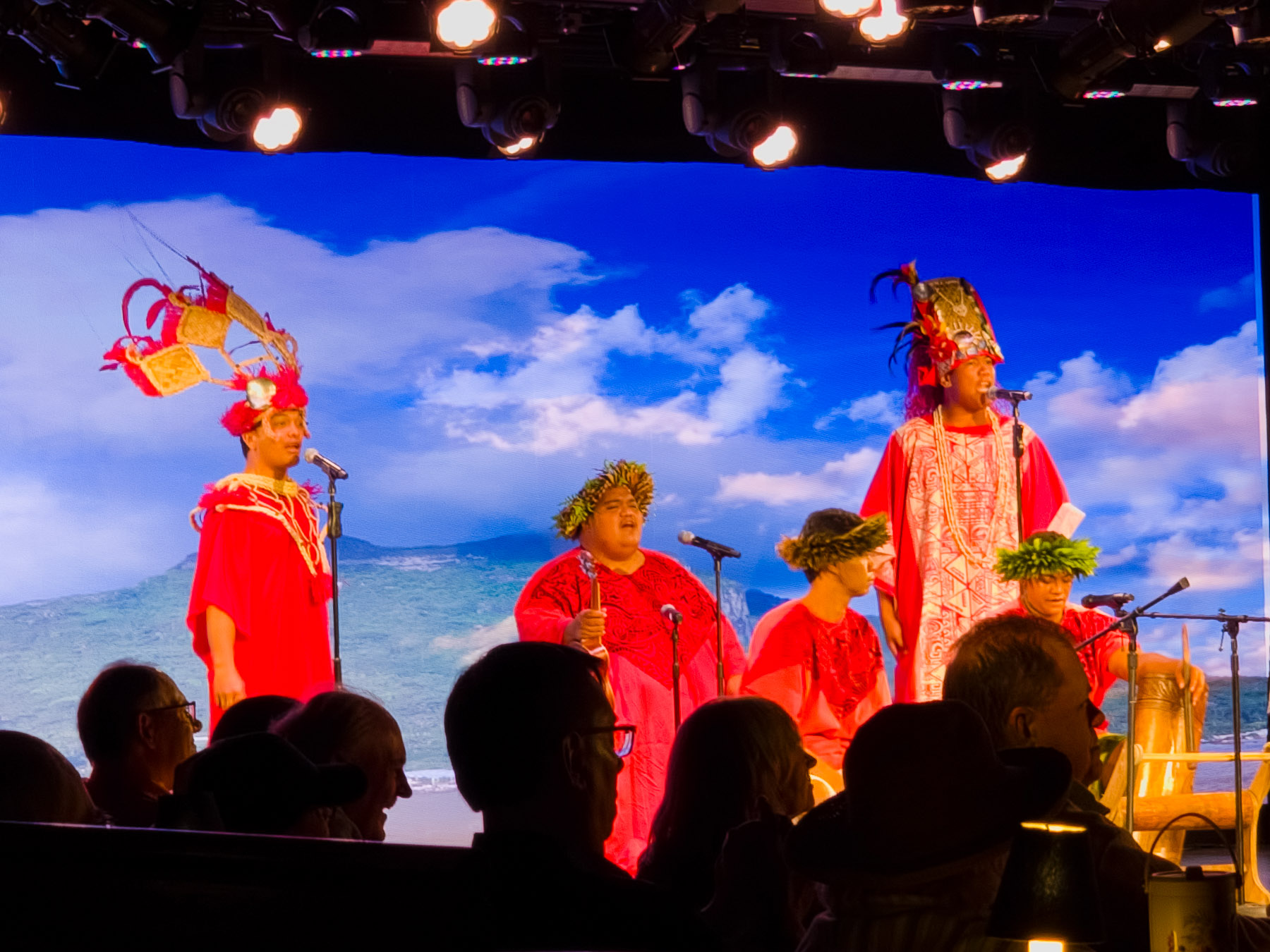
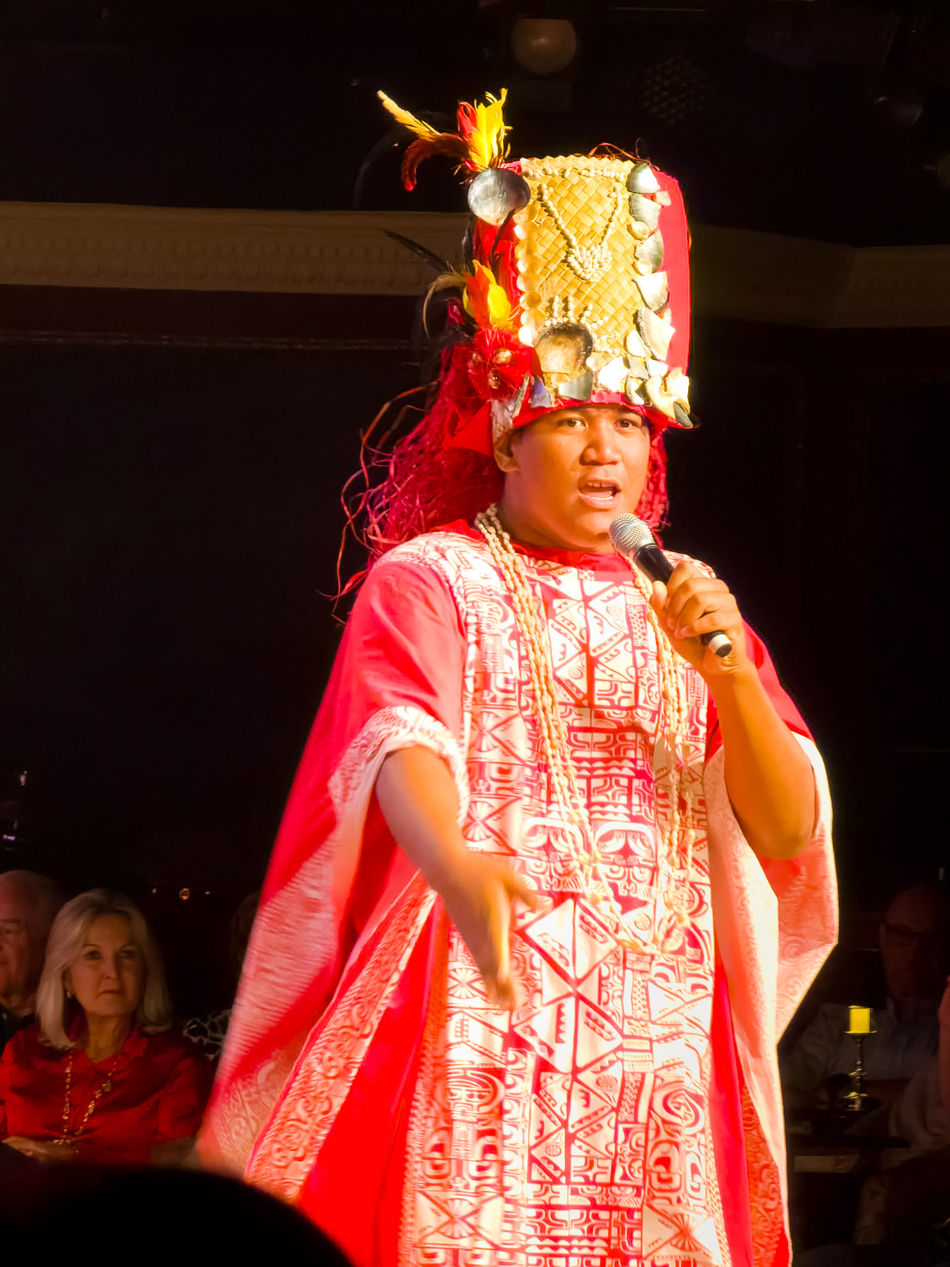
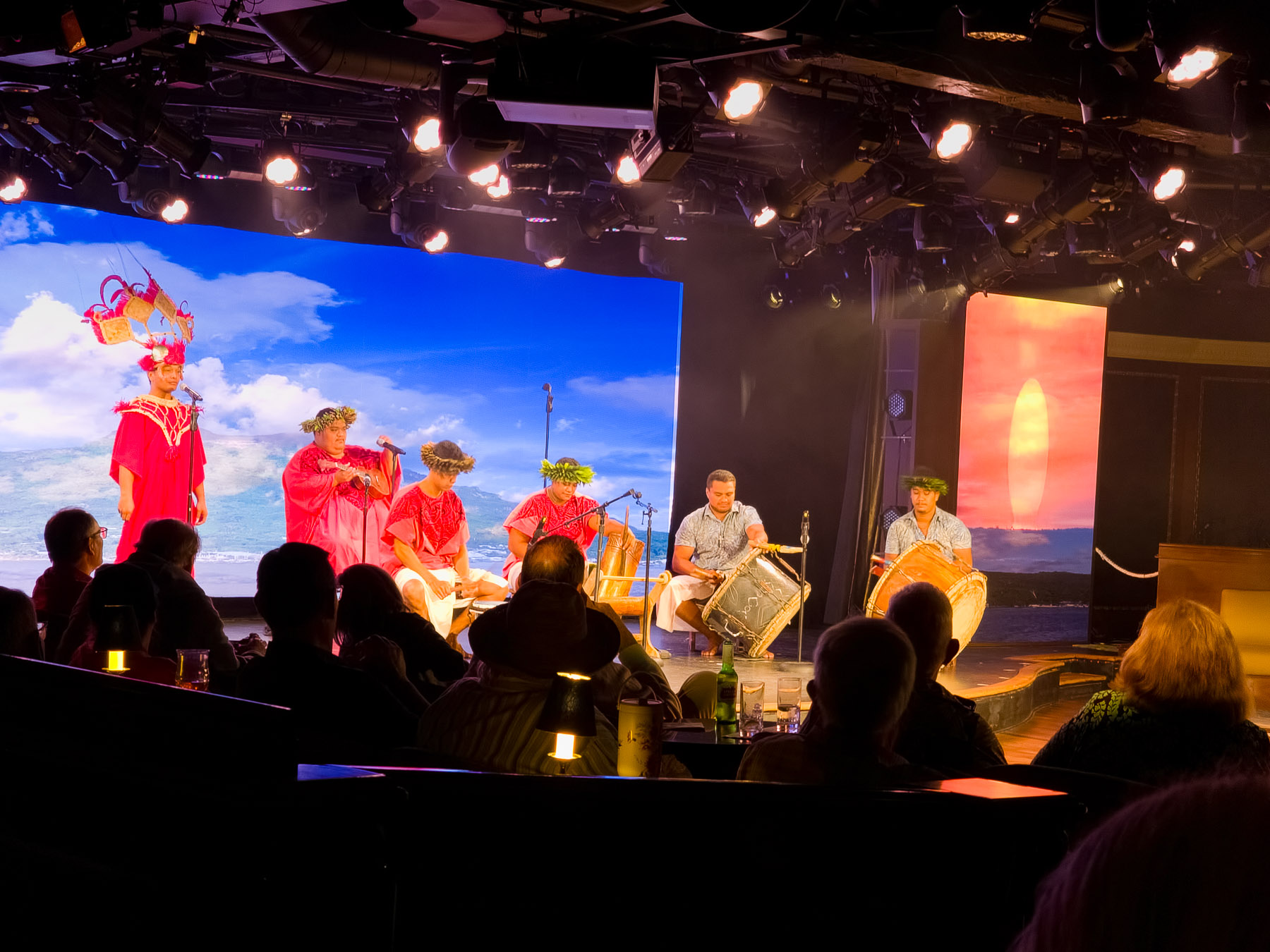
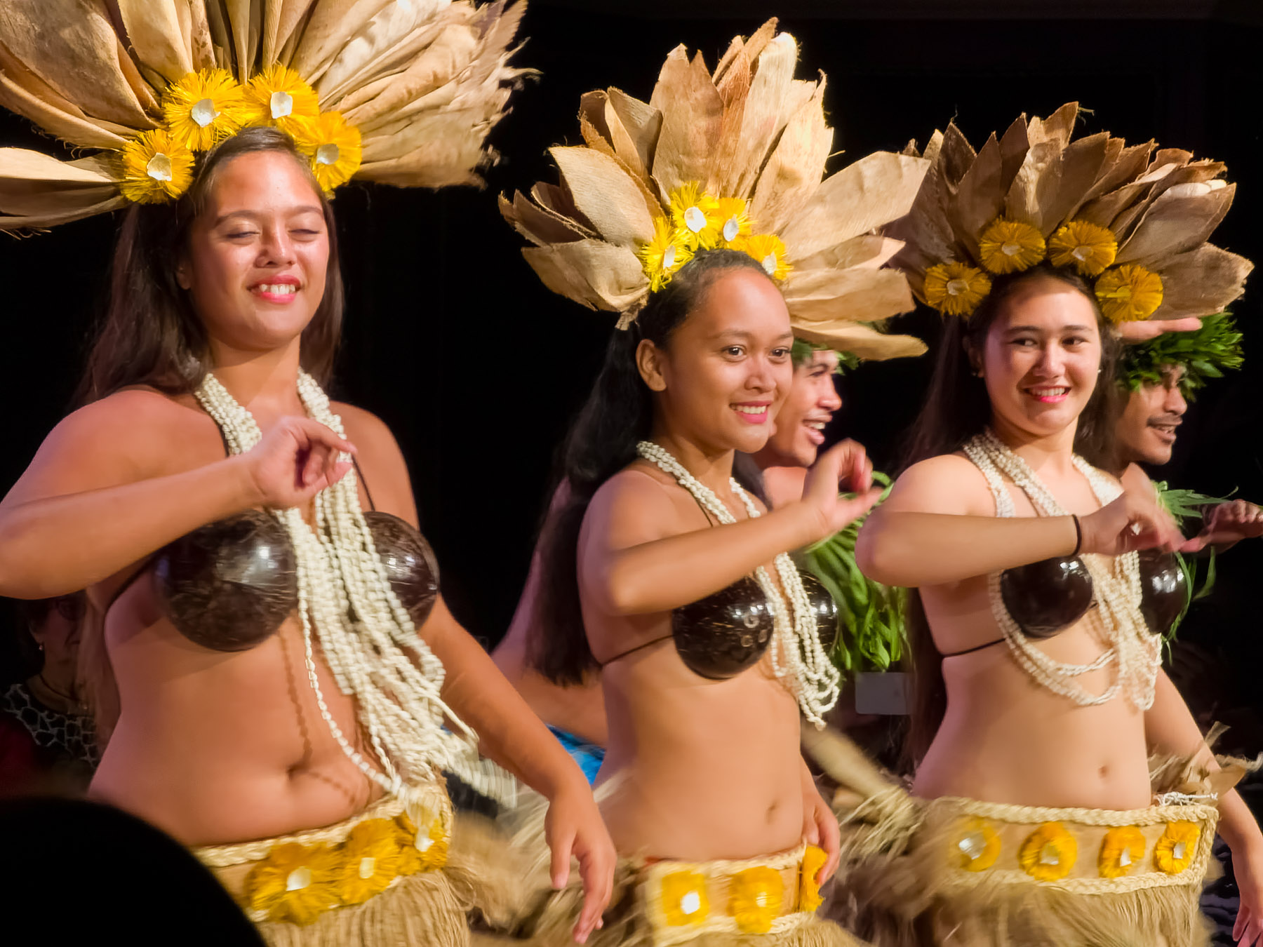
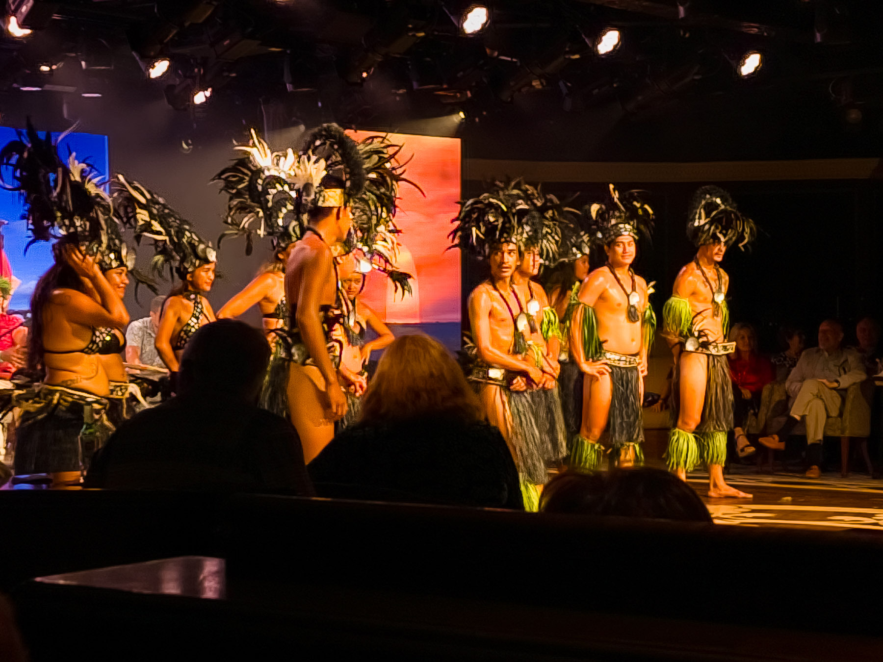
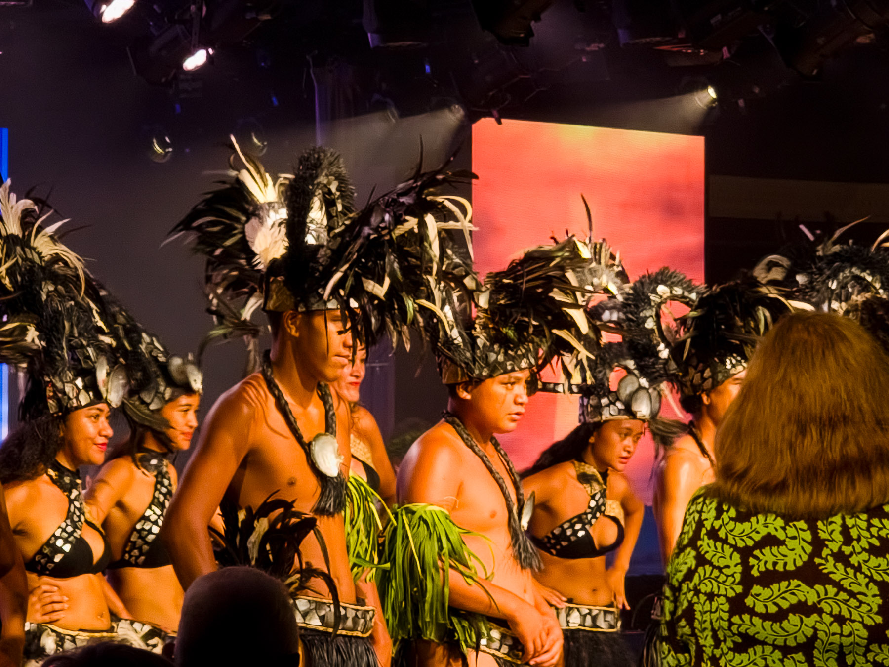
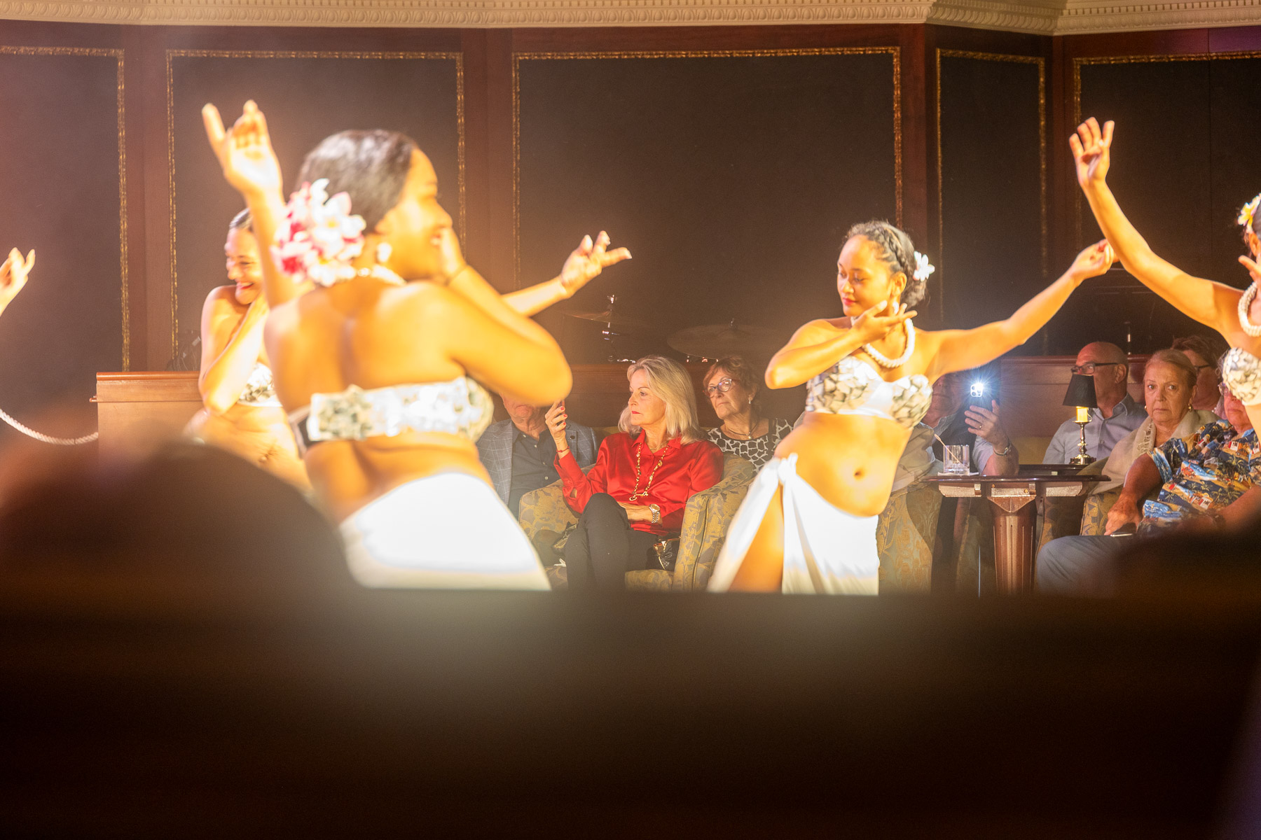
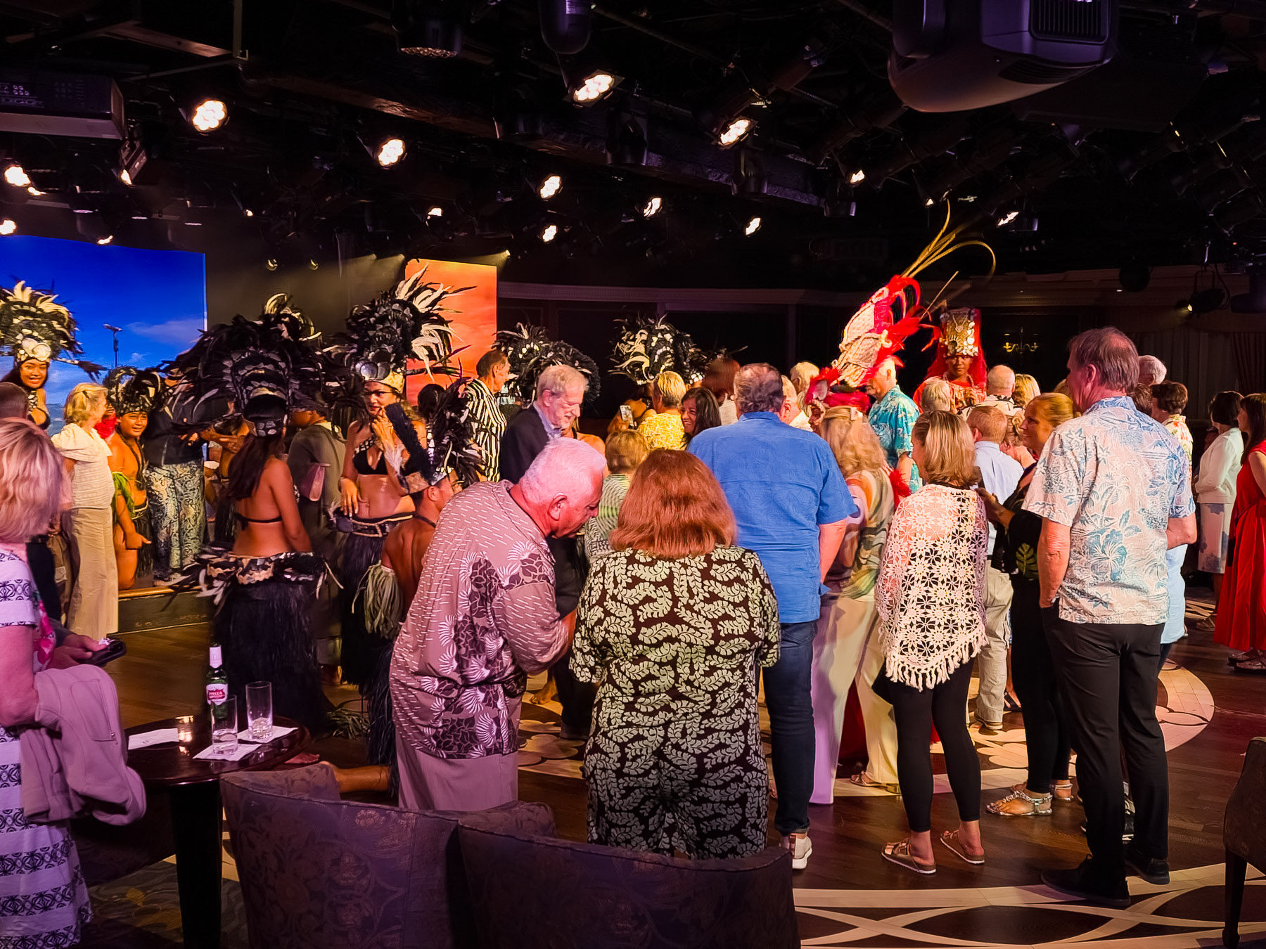
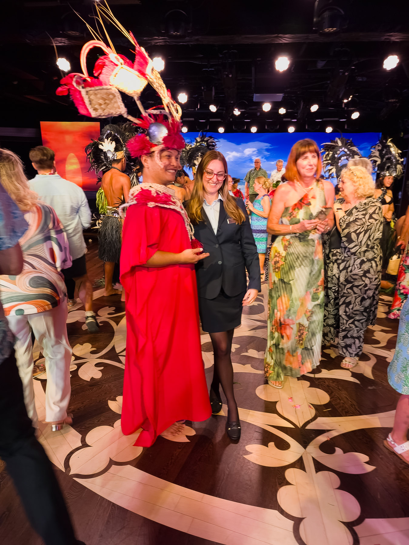
In the evening on the ship we were entertained with a show by a group of Polynesian dancers. Partway through the show they invited members of the audience to join them. It was quite a site.
Wed 3/5: Bora Bora (anchor)
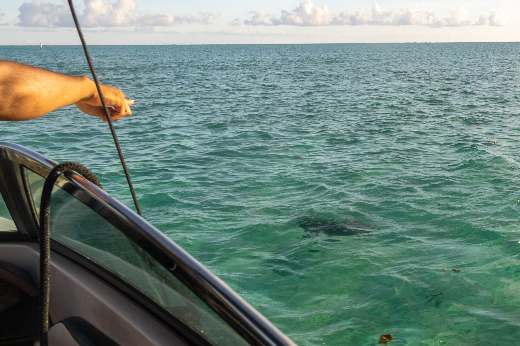
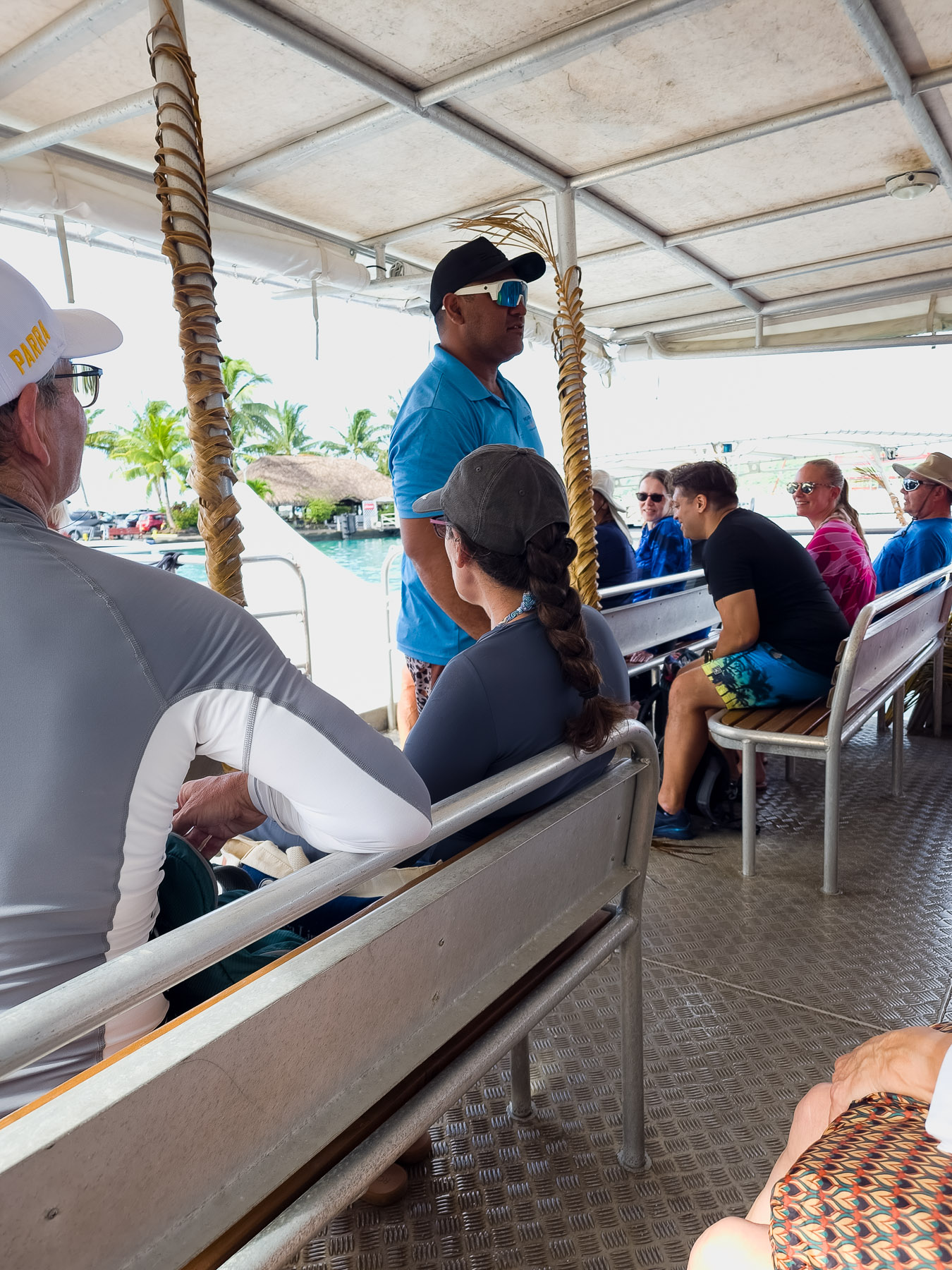
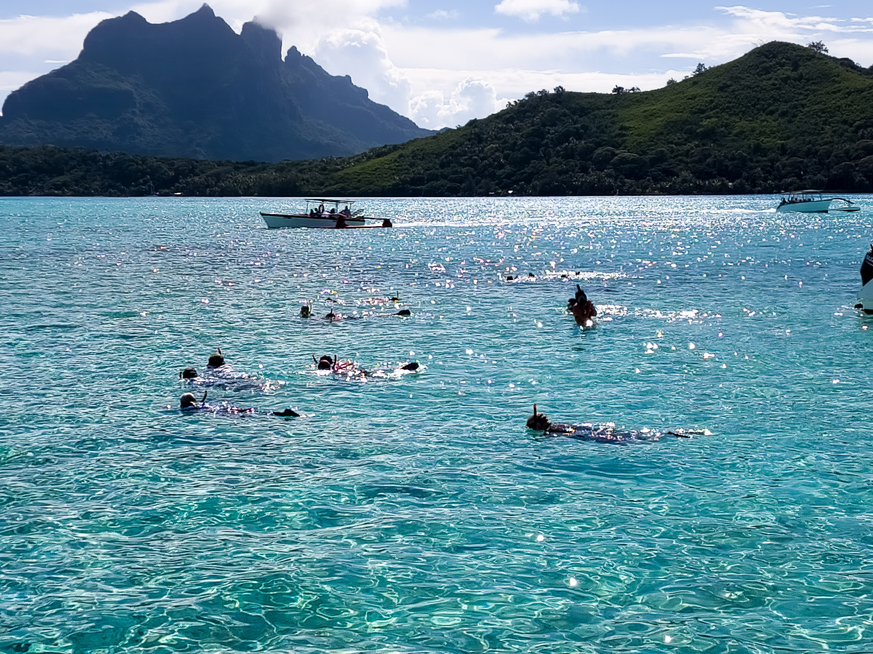
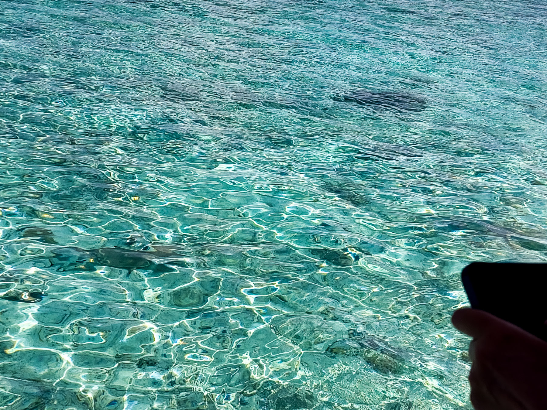
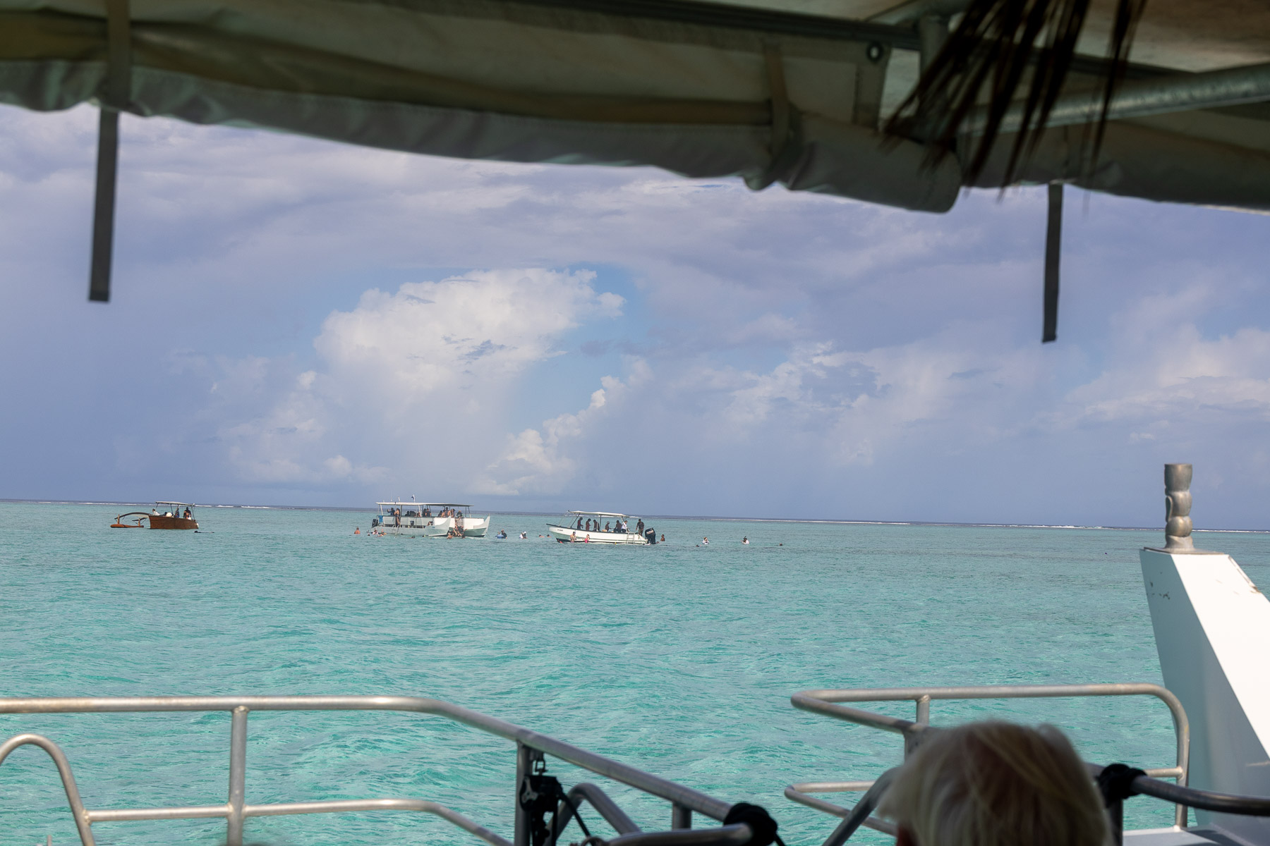
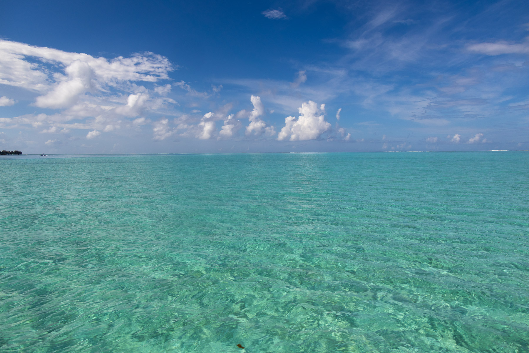
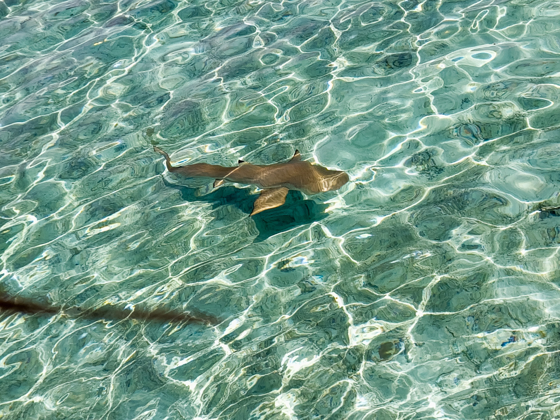
On Wednesday we went on a lagoon cruise where we went snorkeling observing marine life: fish, rays and small sharks.
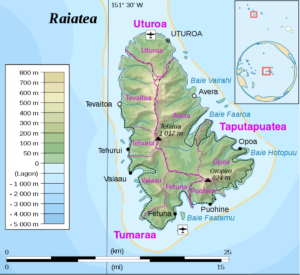 Thu 3/6: Raiatea, French Polynesia (Moor) (16°49’S, 151°27’W)
Population: 12, 000 8 villages, Area 67 mi2, 10 mi x 8 mi
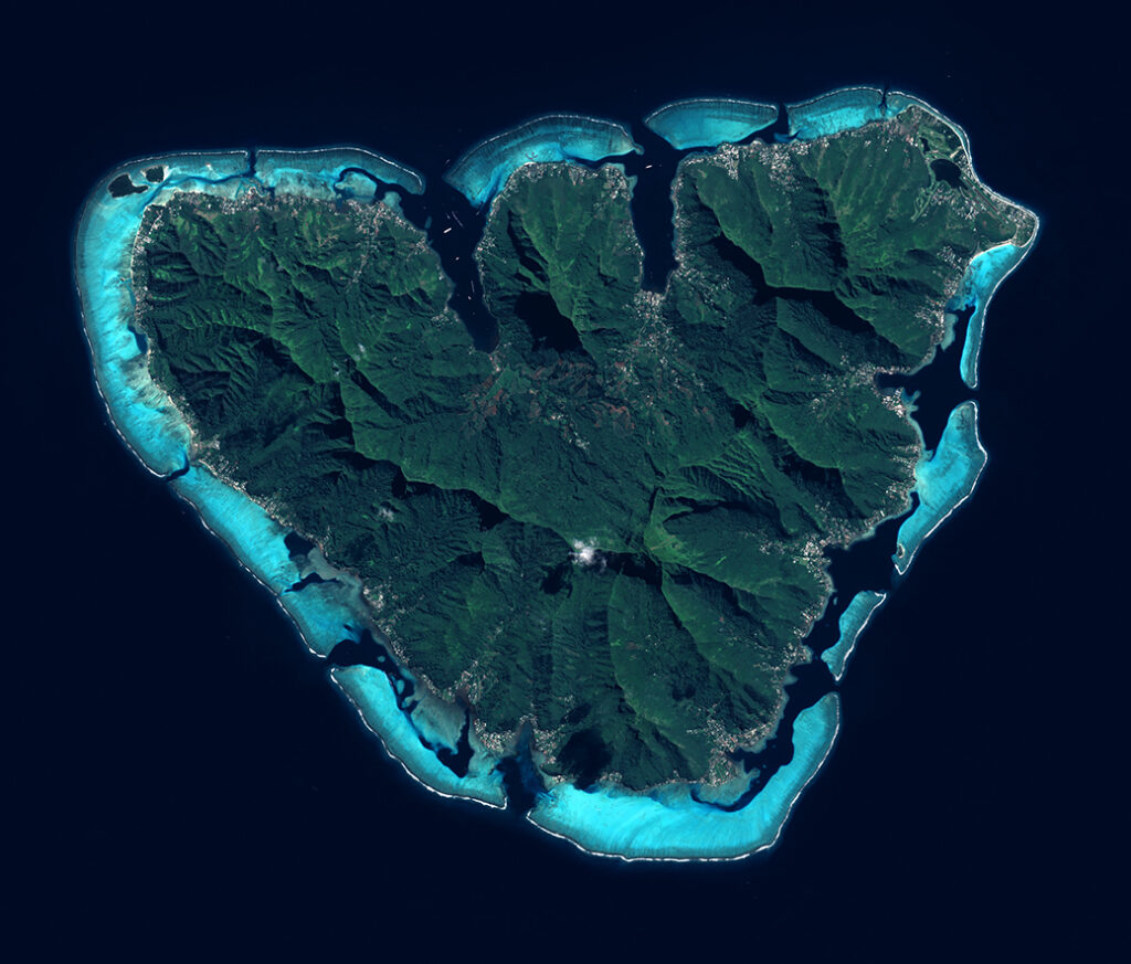
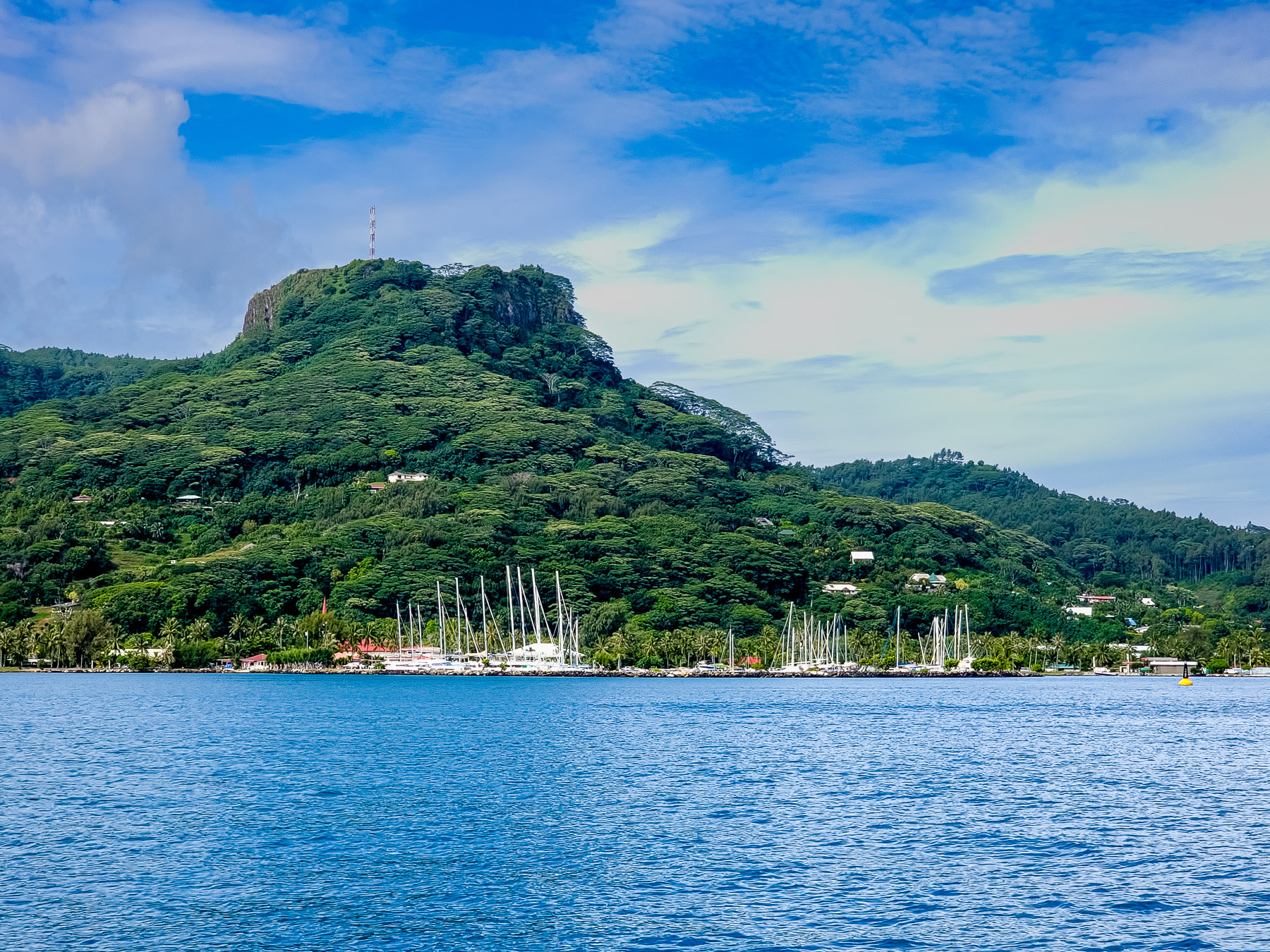
Raiatea is the second largest of the Society Islands, after Tahiti, in French Polynesia. The island is widely regarded as the “centre” of the eastern islands in ancient Polynesia and it is likely that the organized migrations to the Hawaiian Islands and other parts of East Polynesia started at Raiatea.
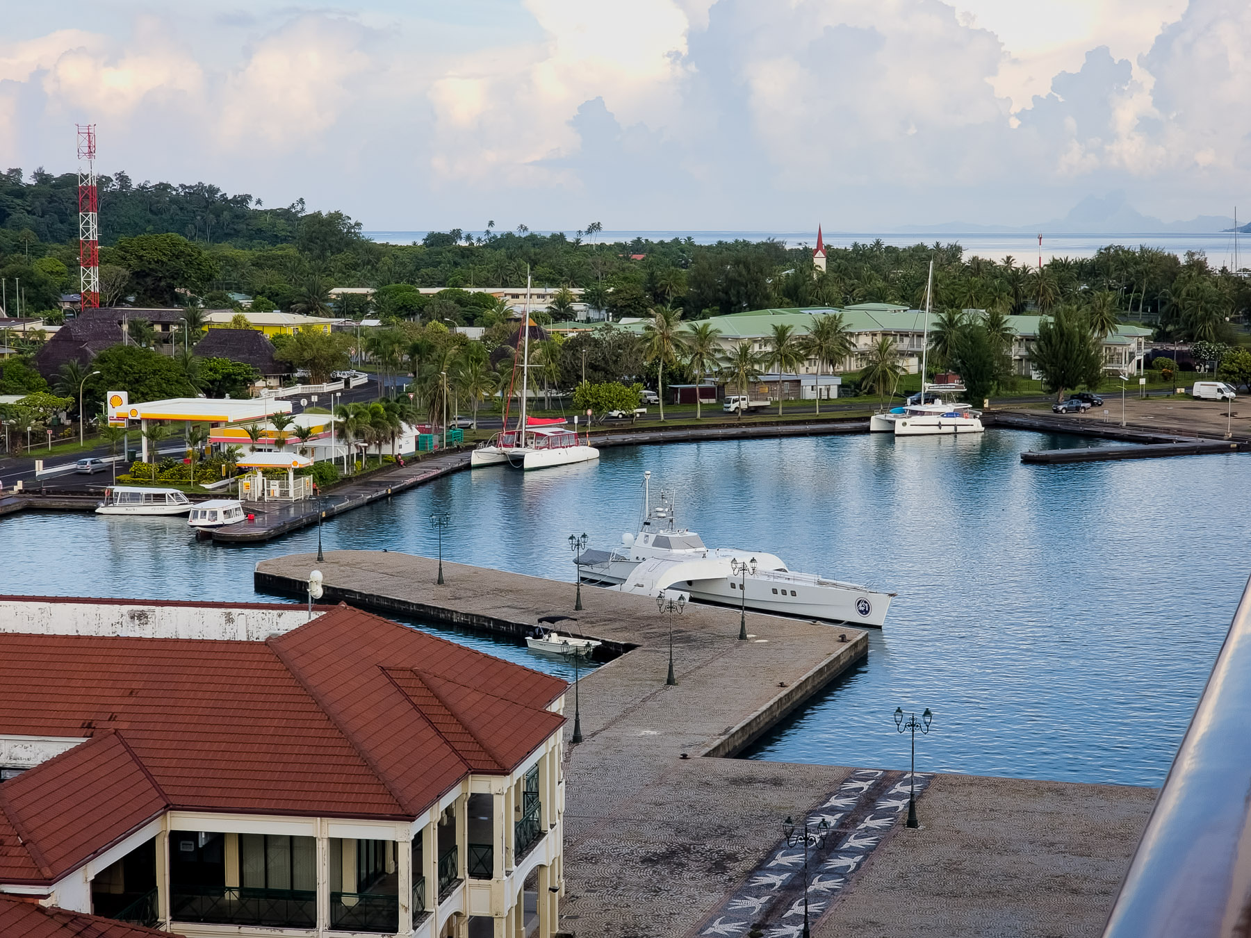
Raiatea had a total of 12,832 inhabitants according to 2012 data, distributed in three communes: Uturoa (the capital), Taputapuatea and Tumara’a.
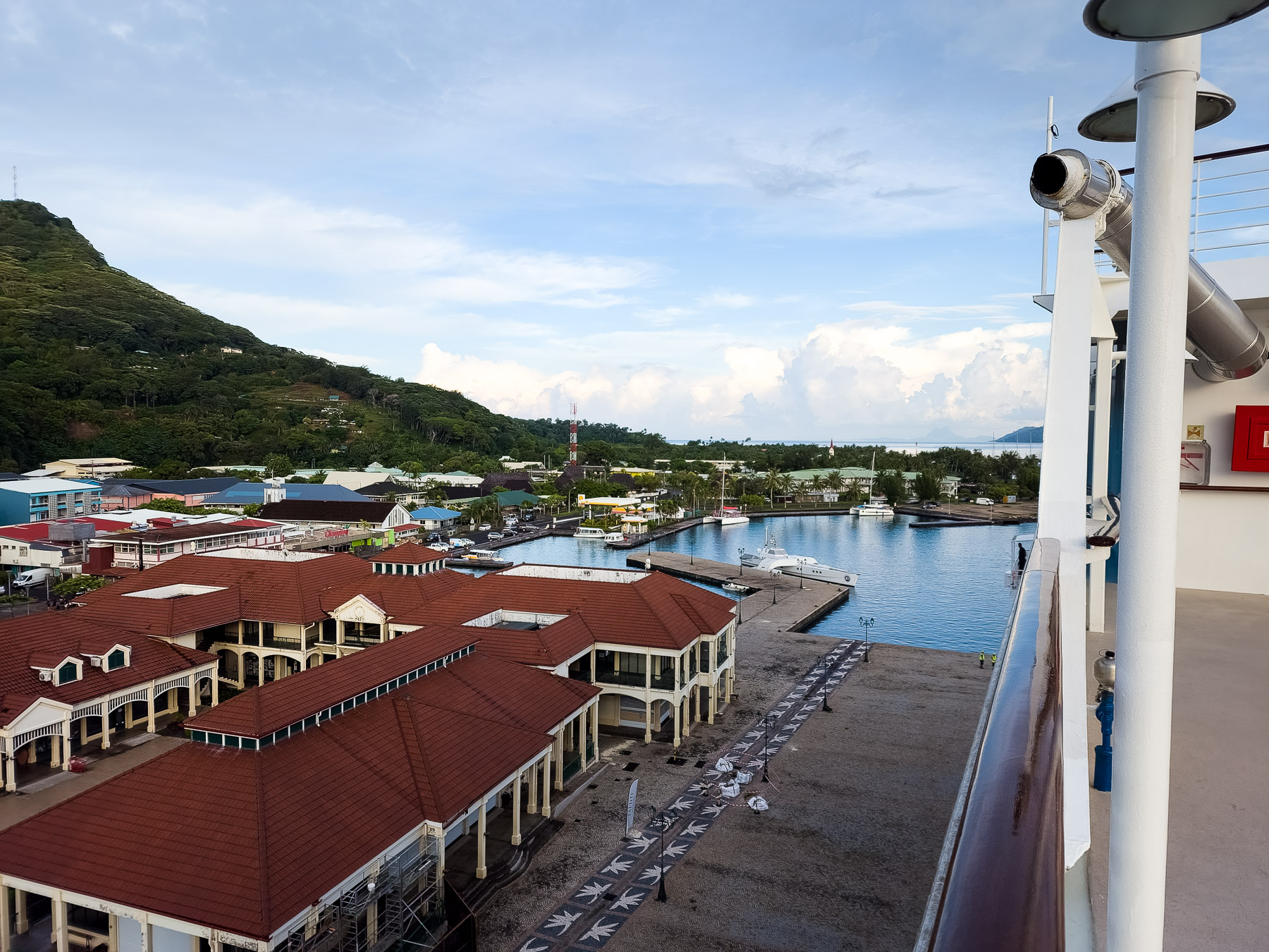
The main township of Raiatea is Uturoa, the administrative centre for the Leeward Islands. There are also colleges which serve as the main educational location for secondary schools for students from the regional islands of Bora Bora, Tahaa, Huahine and Maupiti.
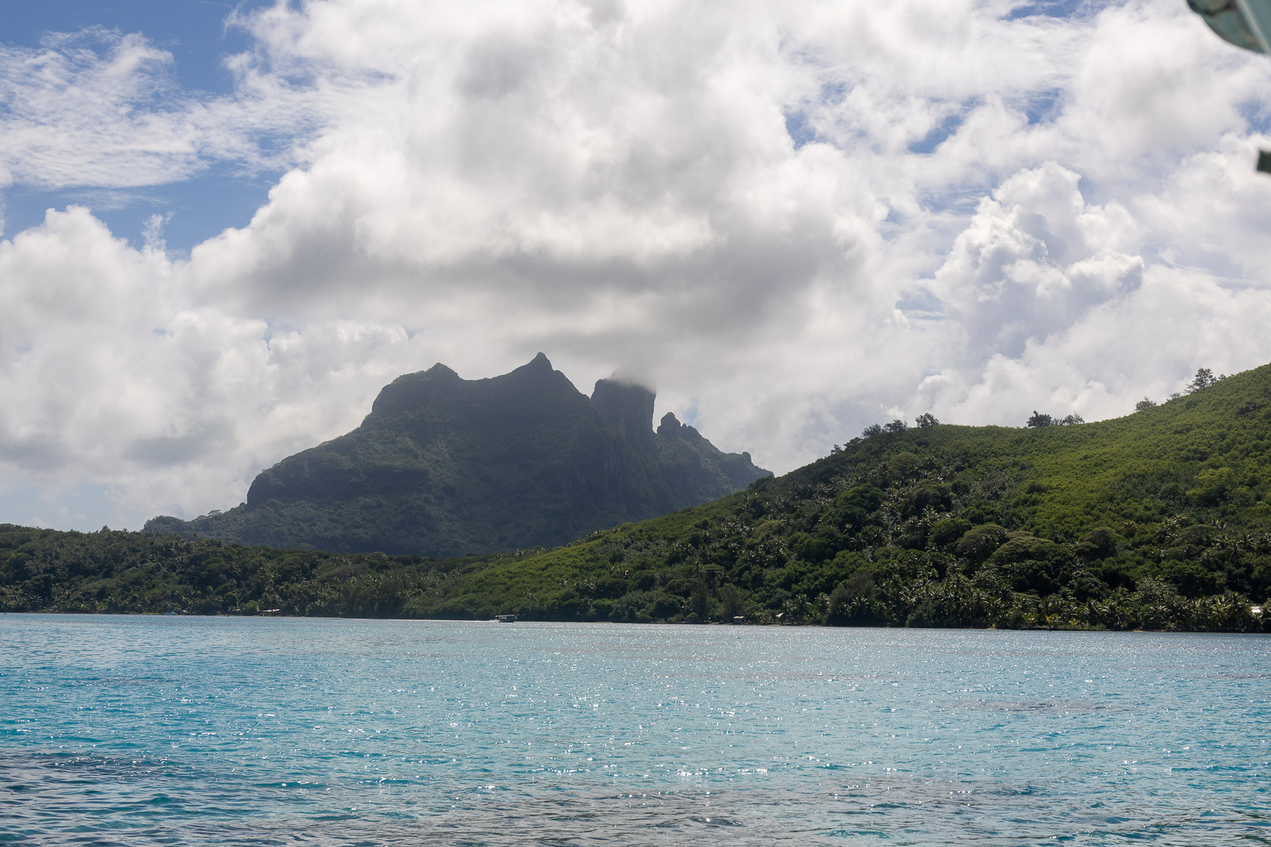
Raiatea’s landscape is characterized by rugged peaks, a heavily indented coastline with deeply indented bays, and numerous small, tiny islands located in the lagoon.
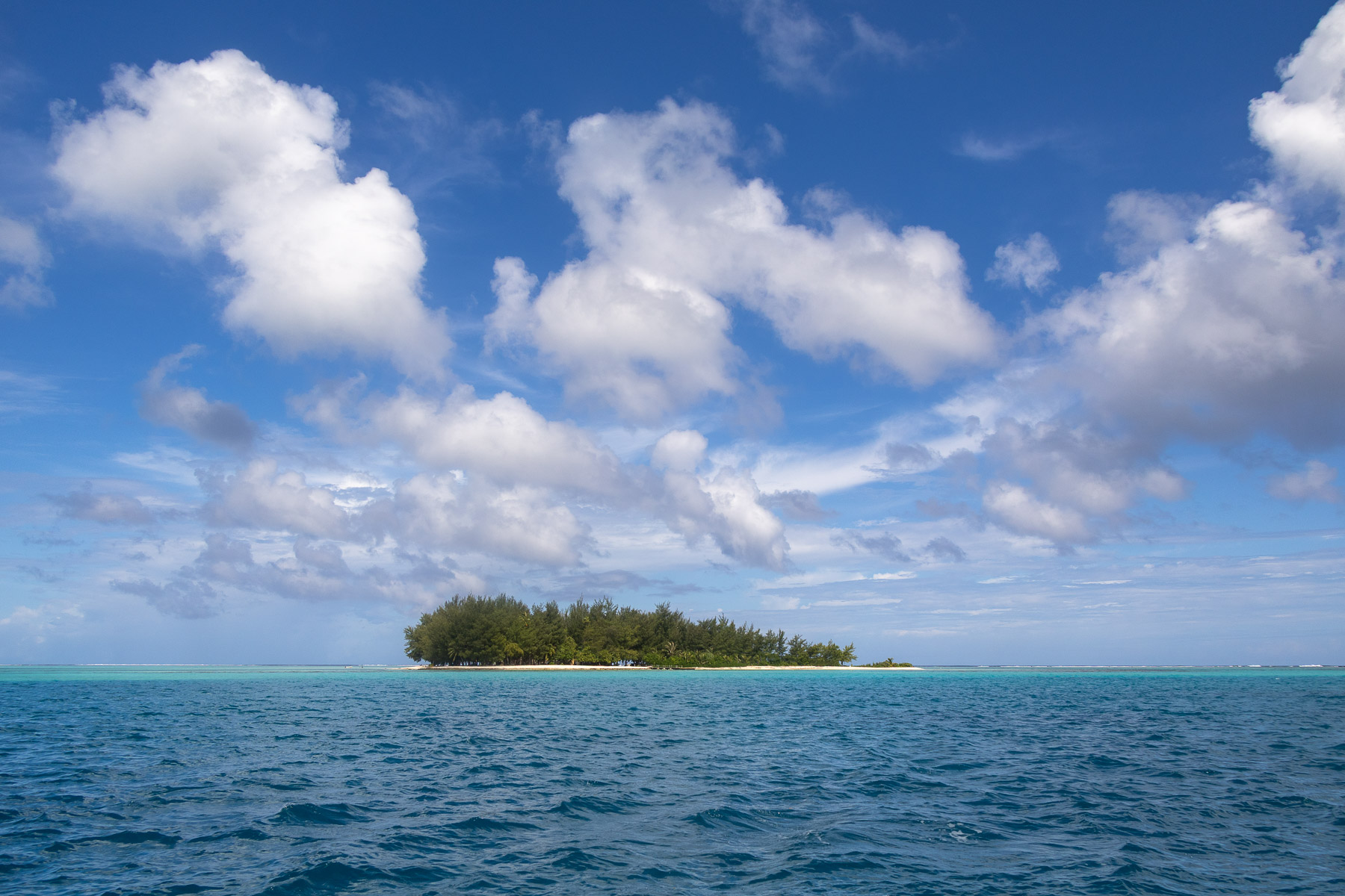
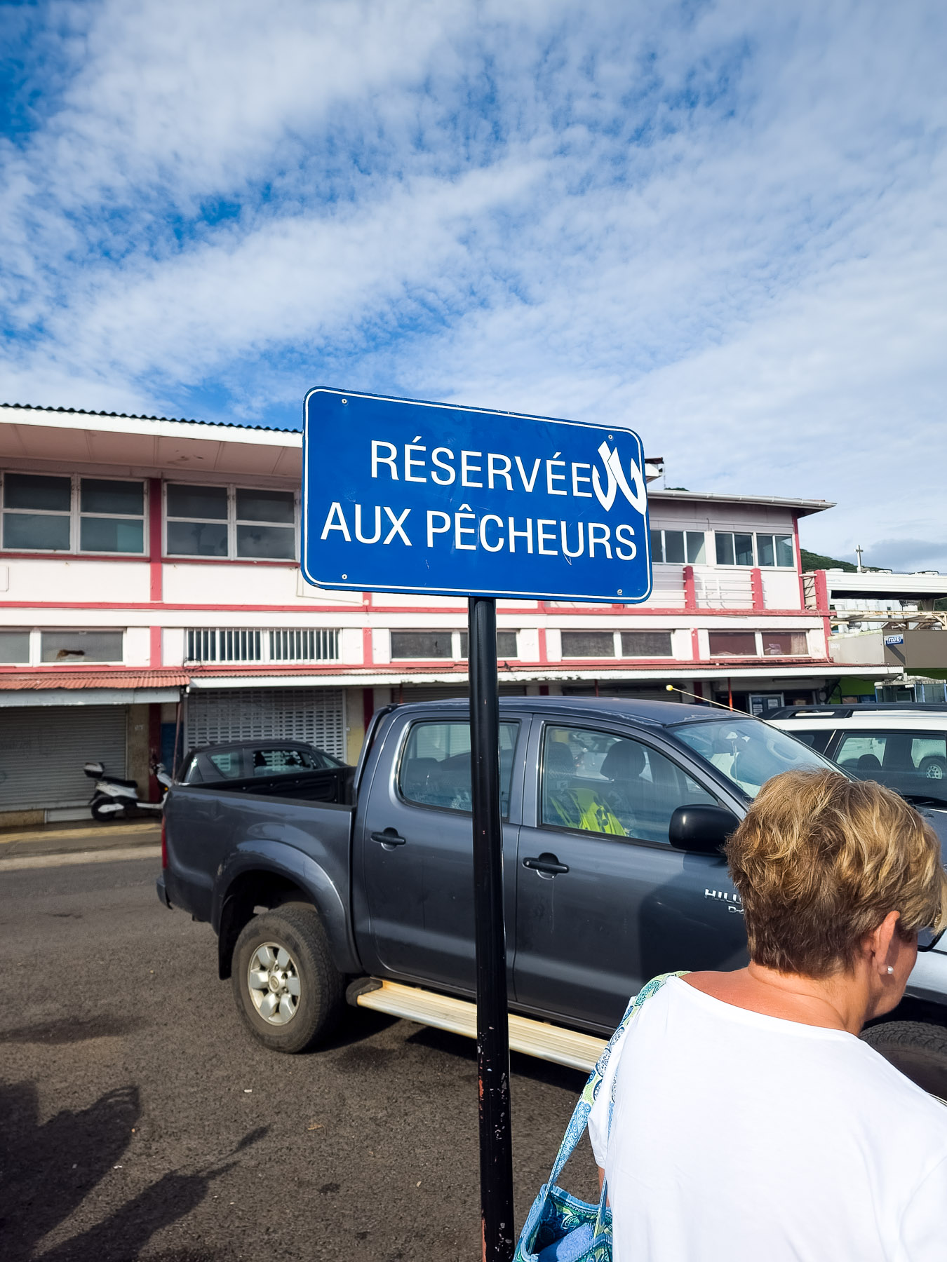
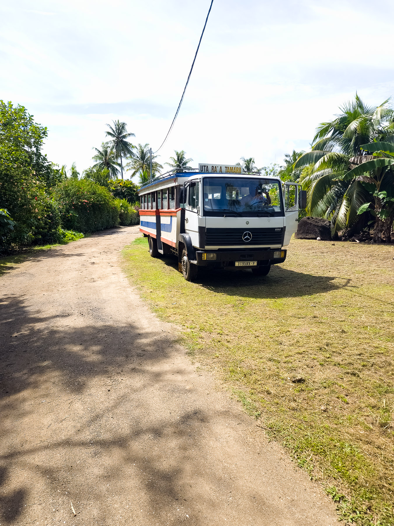
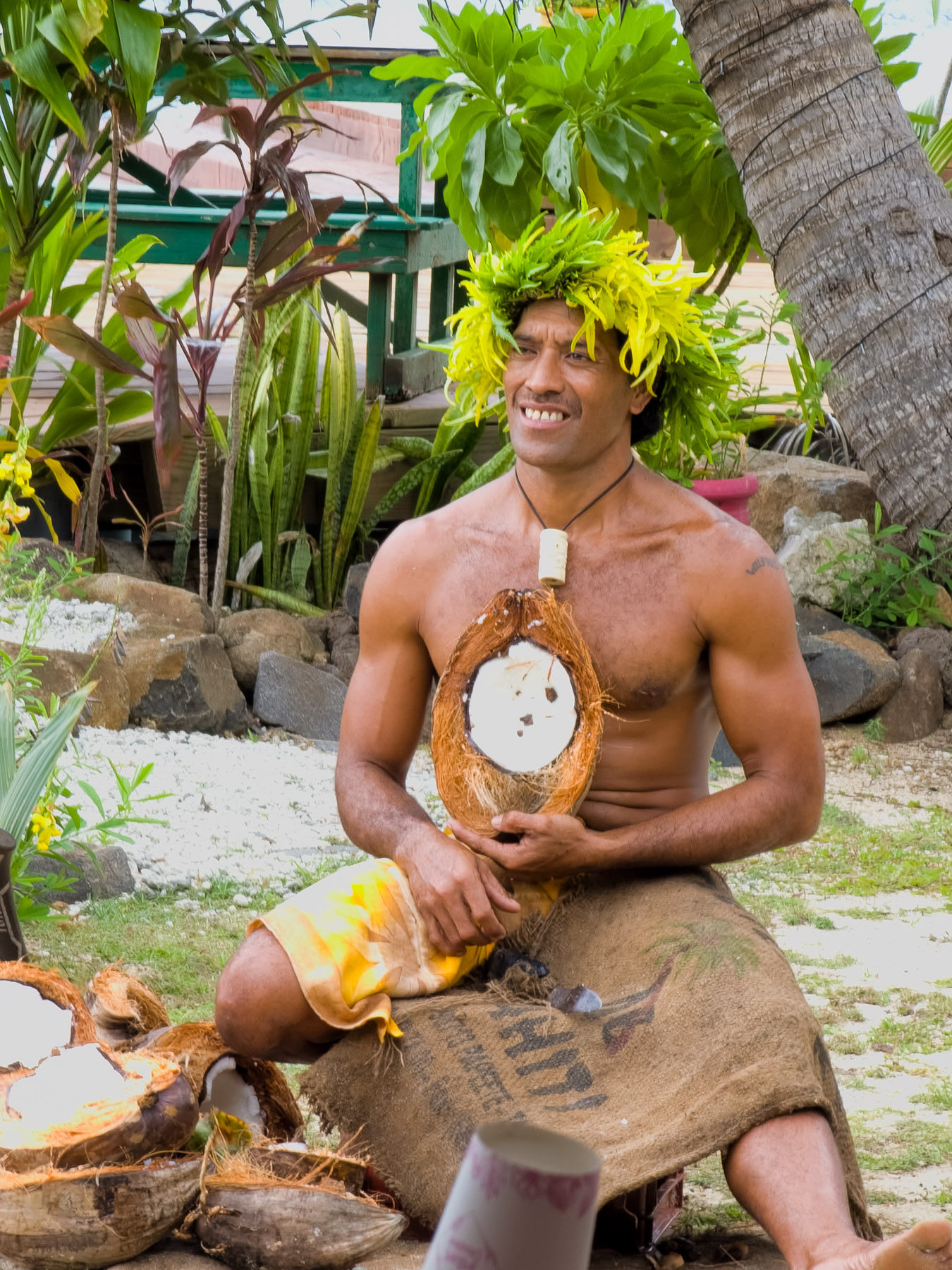
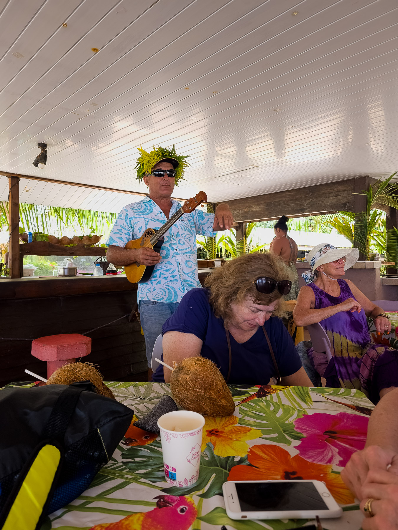
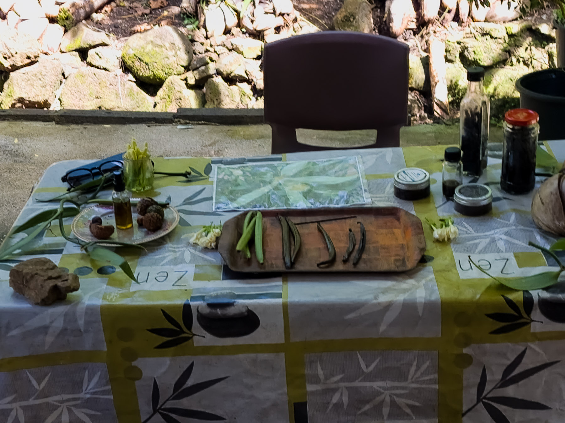
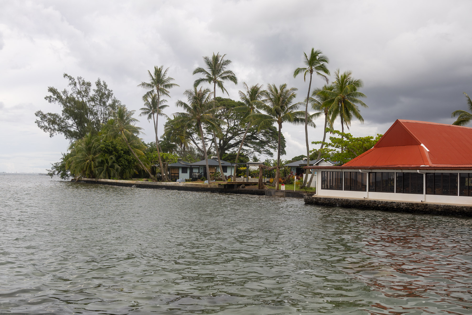
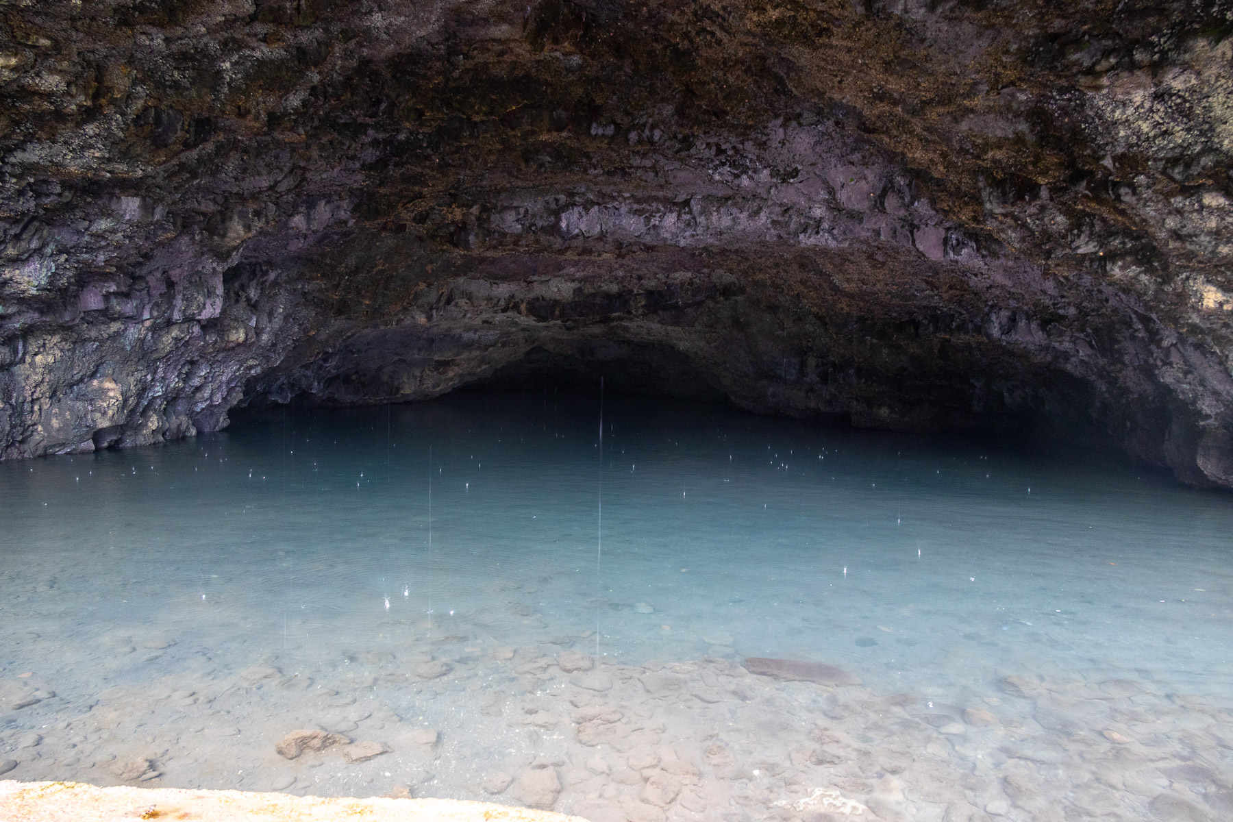
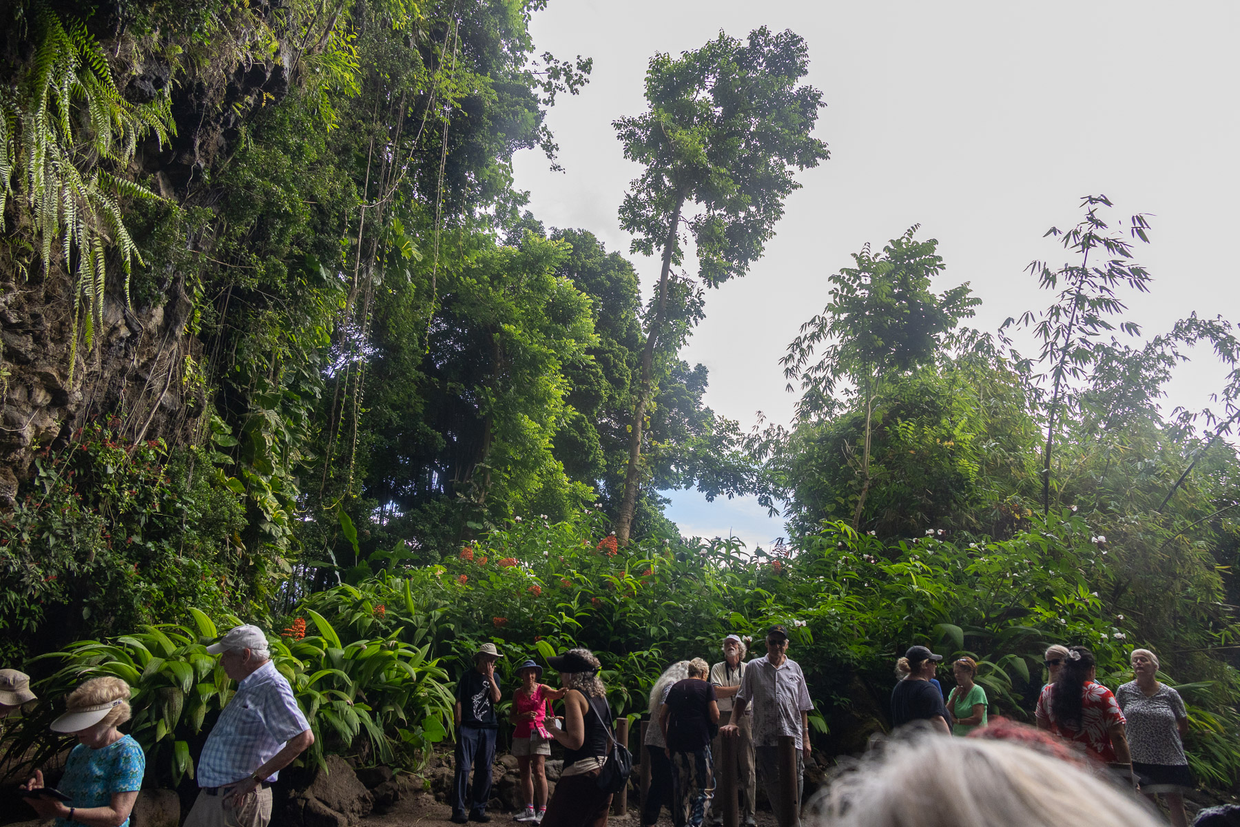
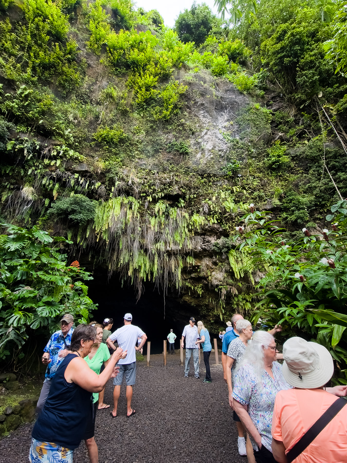
Raiatea was one of the few ports where we tied up at a pier. Our excursion in there was entitled “A Tahaa Cultural experience”. We were led by our tour guide to an awaiting boat for about a fifteen minute boat ride to the nearby island of Tahaa. There we boarded a bus and started on a tour of the island. we stopped at some scenic viewpoints, visited a vanilla farm, had a Polynesian lunch, saw a demonstration of pearl farming and then visited another smaller island for some beach time. It was quite a full day.
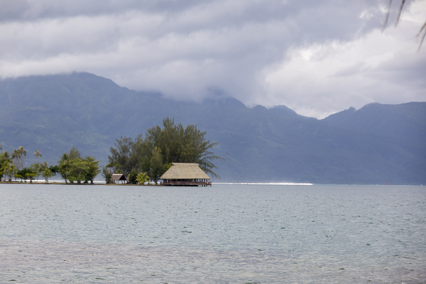
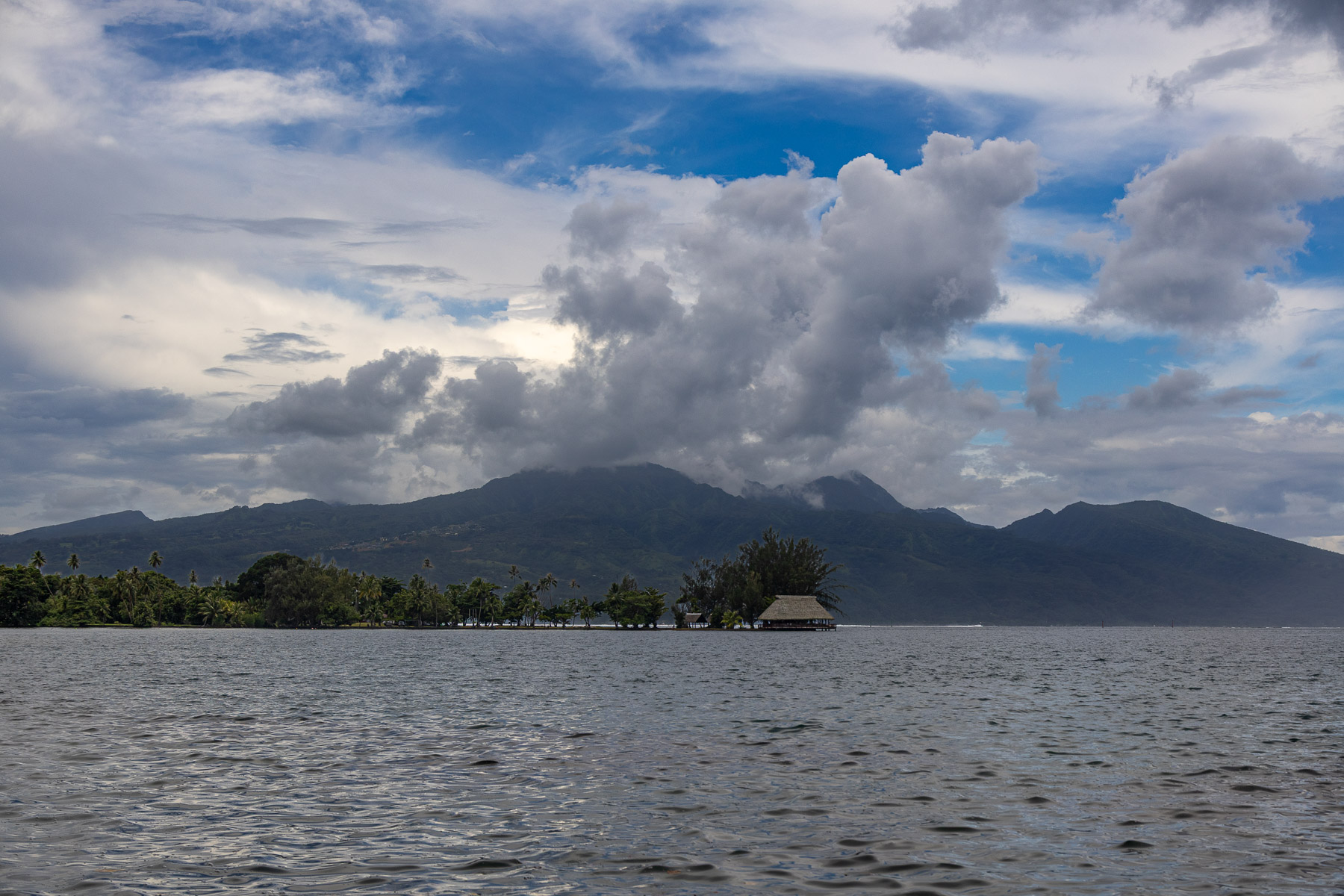
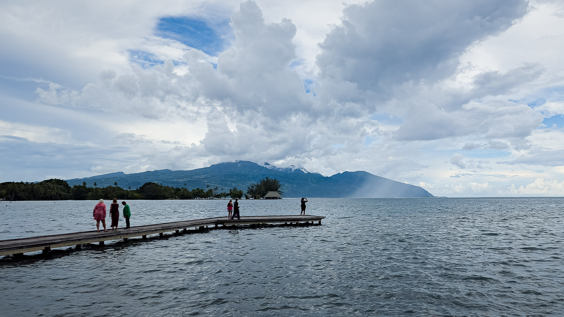
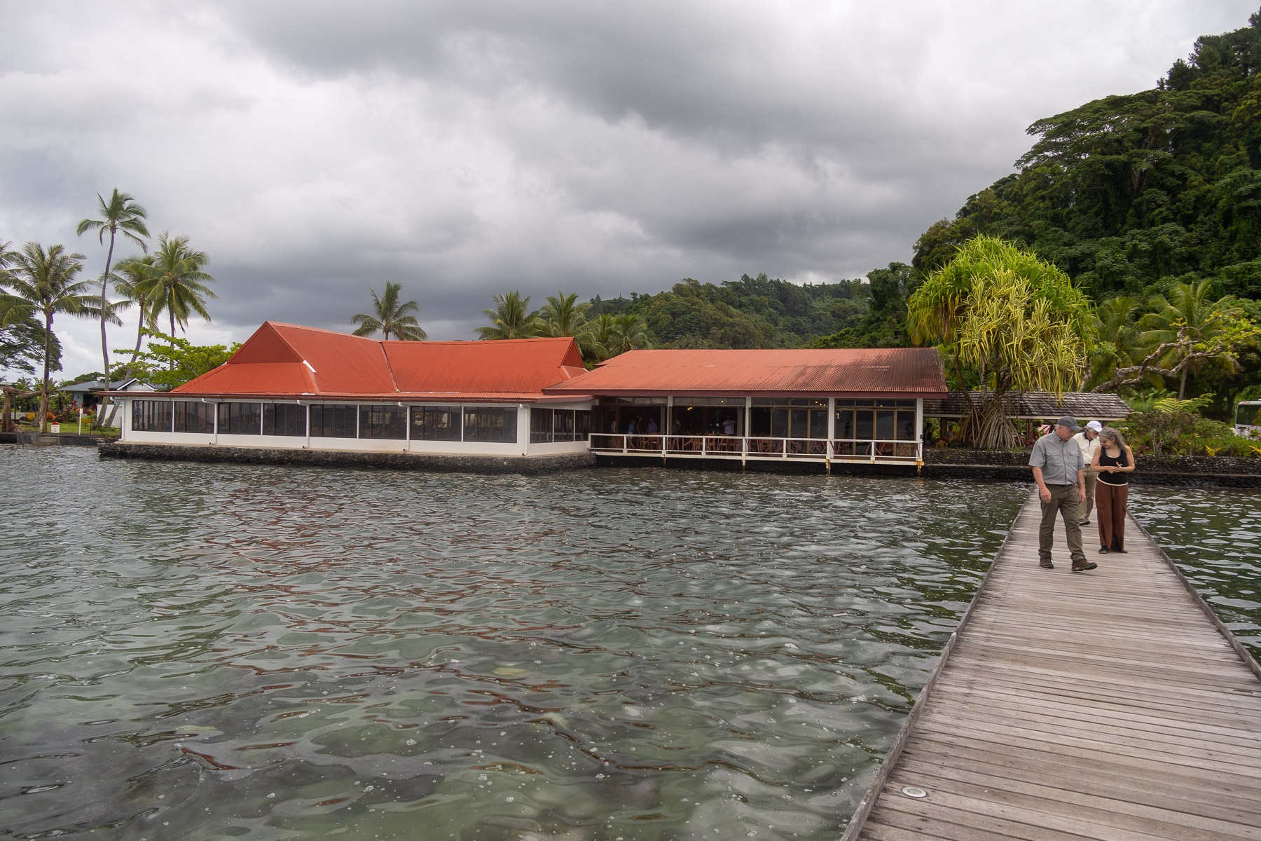
Fri 3/7: Papeete, Tahiti, French Polynesia (17°32’S, 149°34’W)
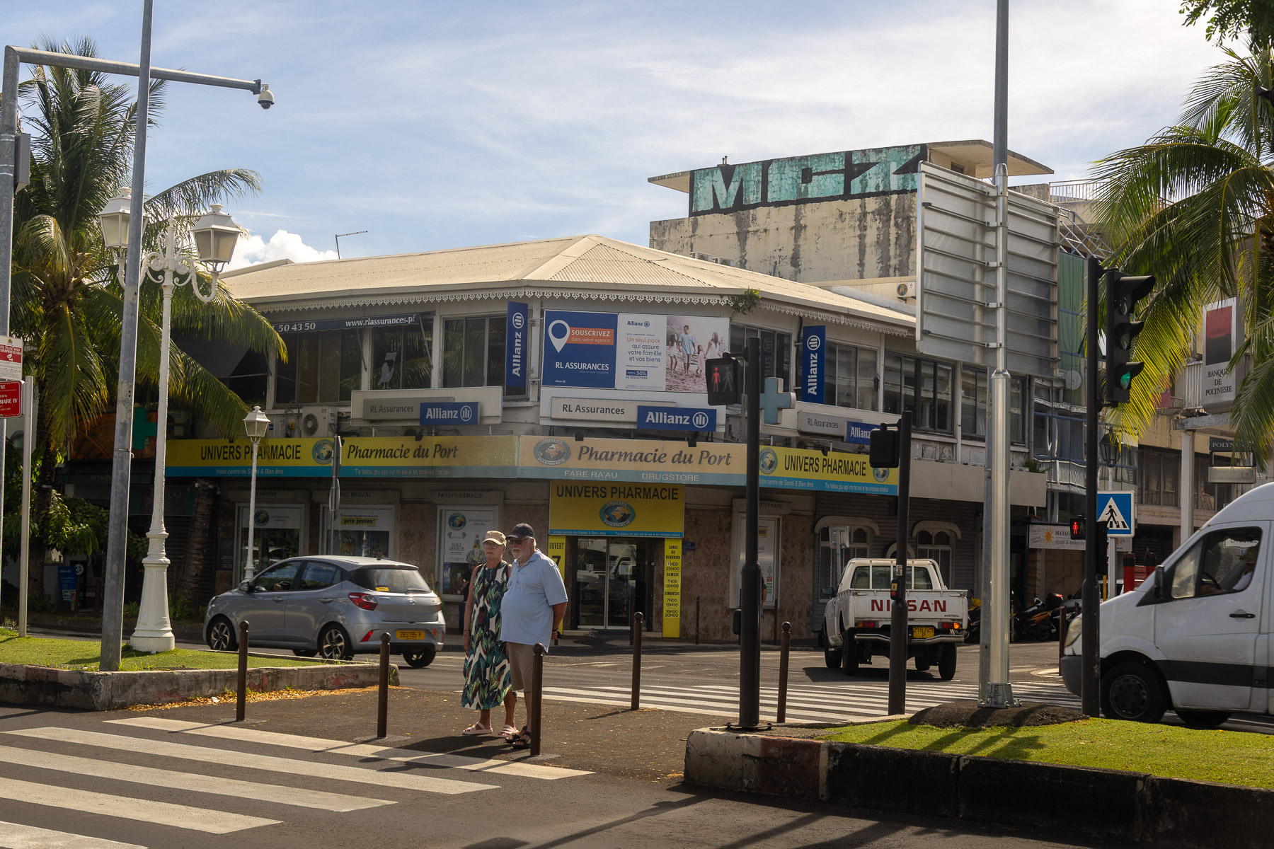
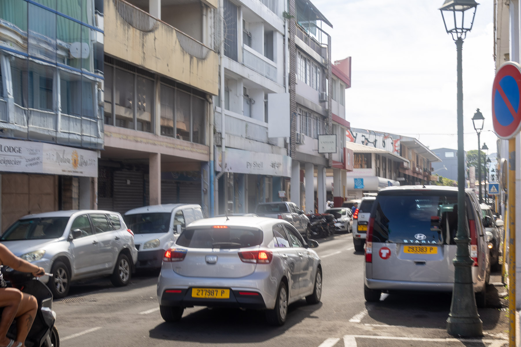
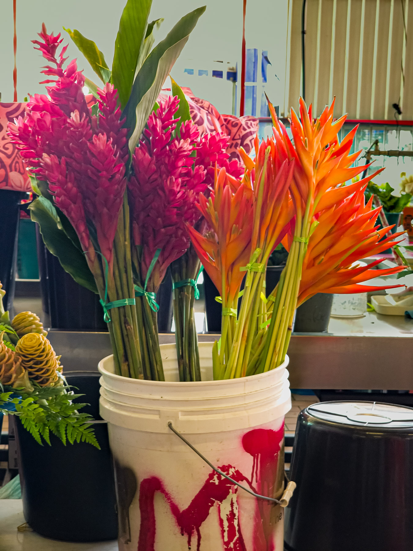
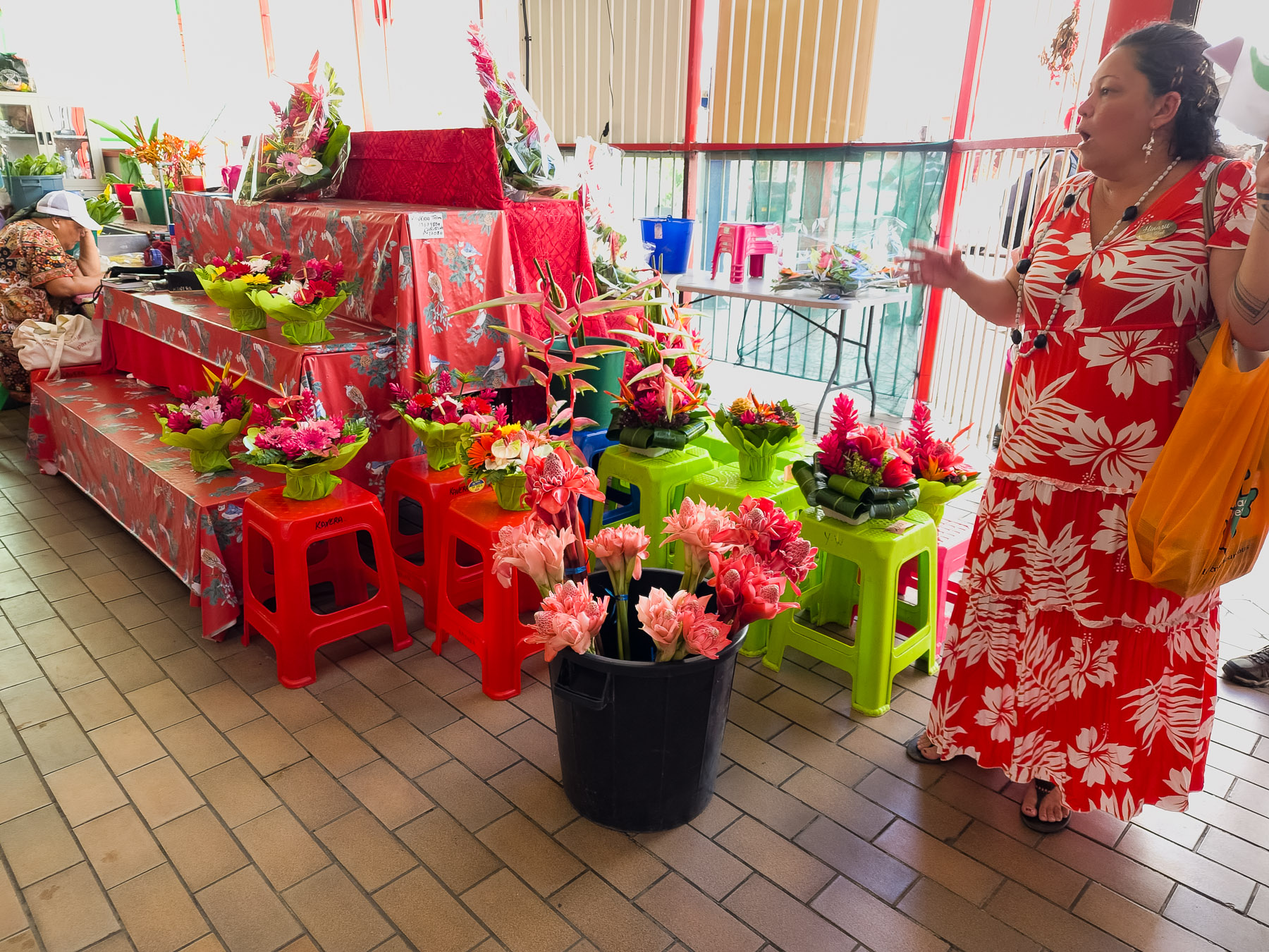
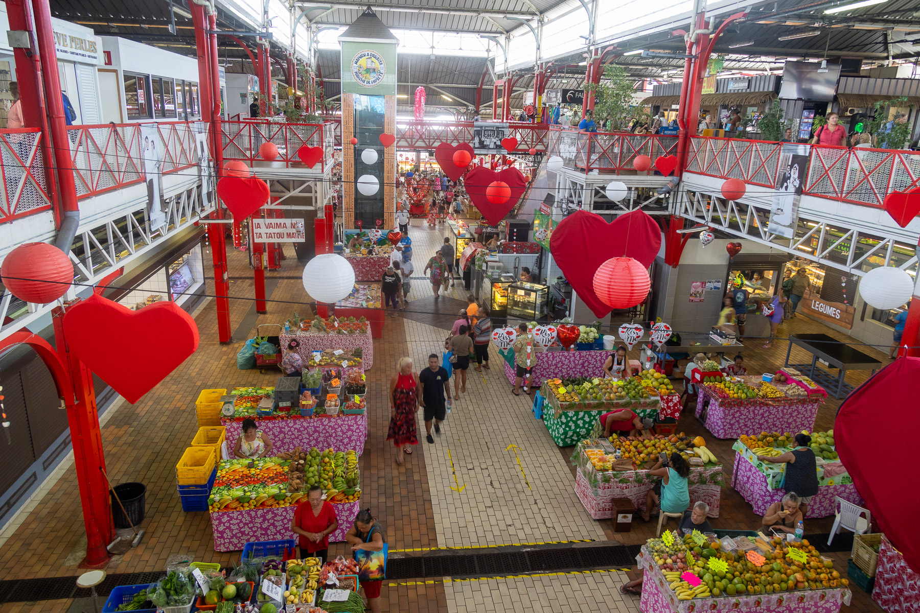
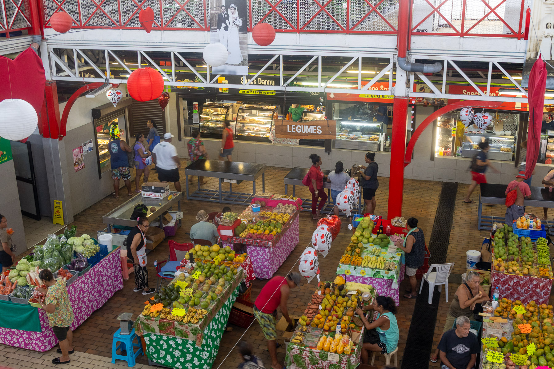
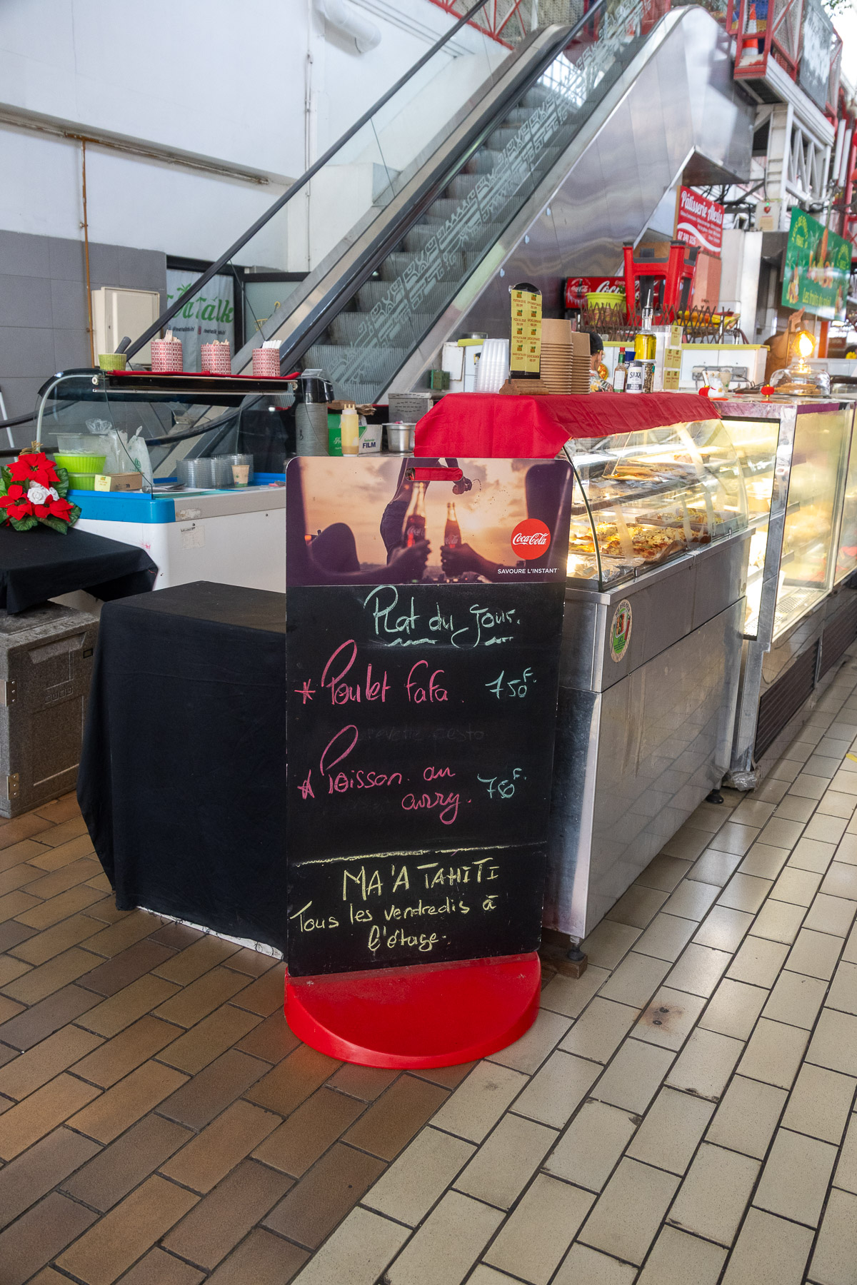
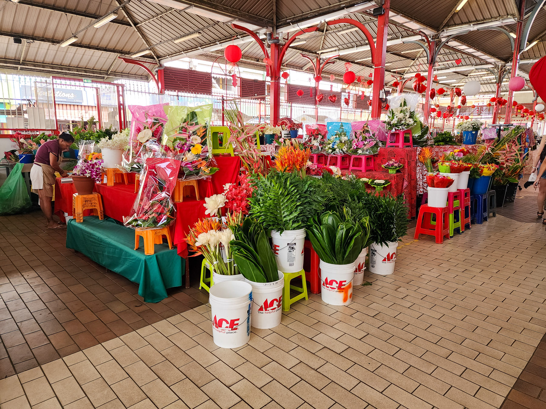
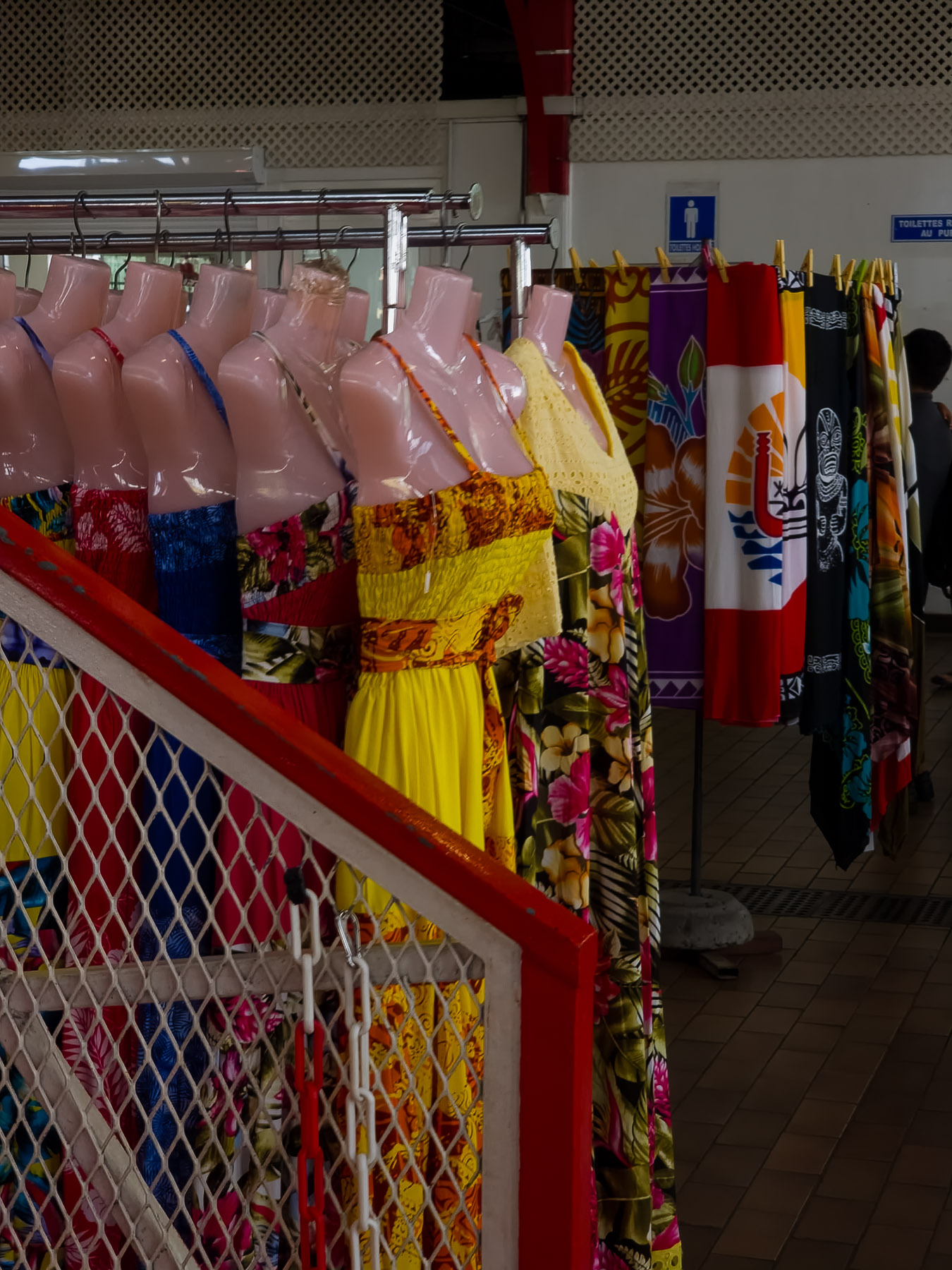
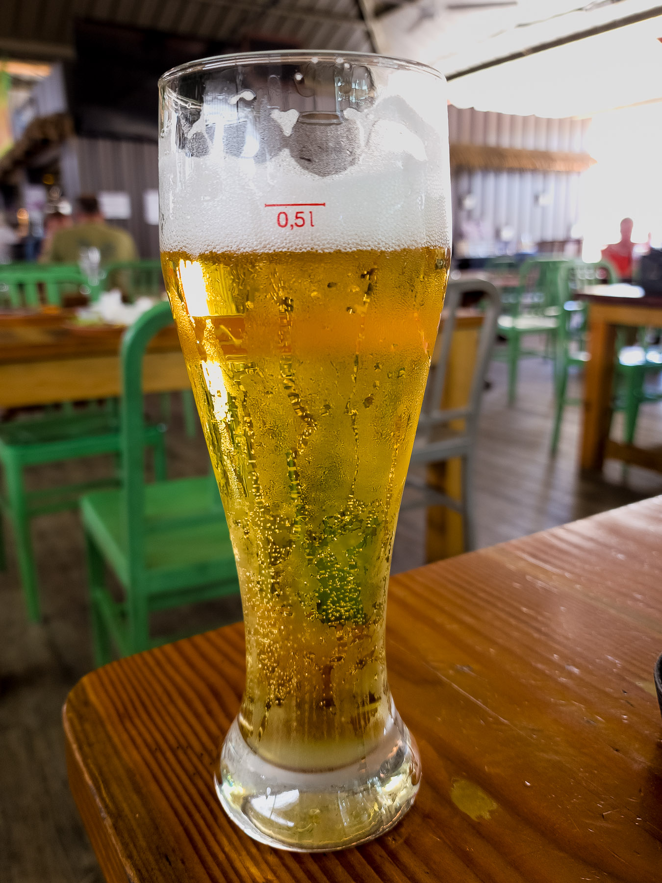
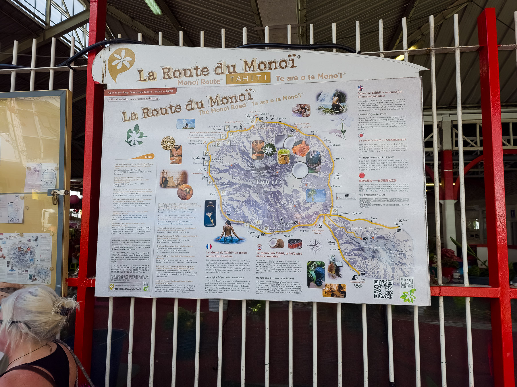
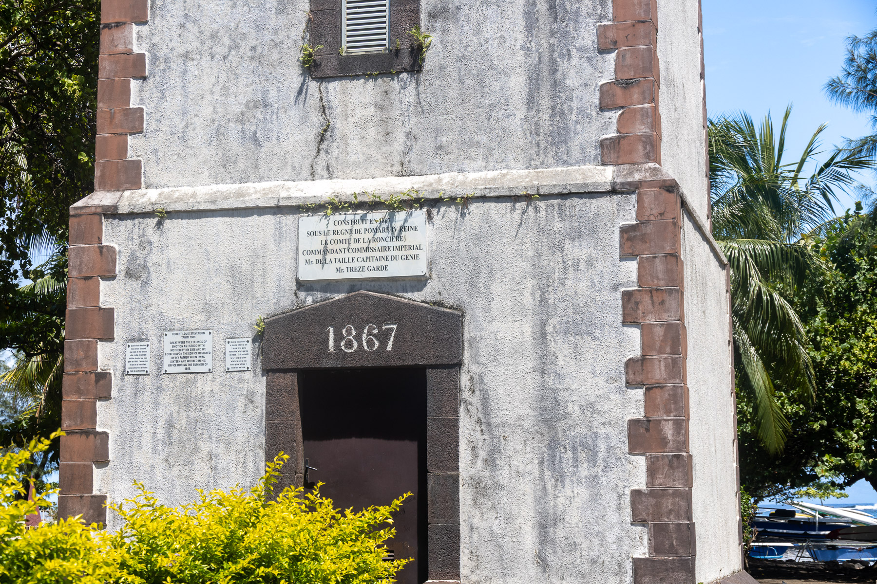
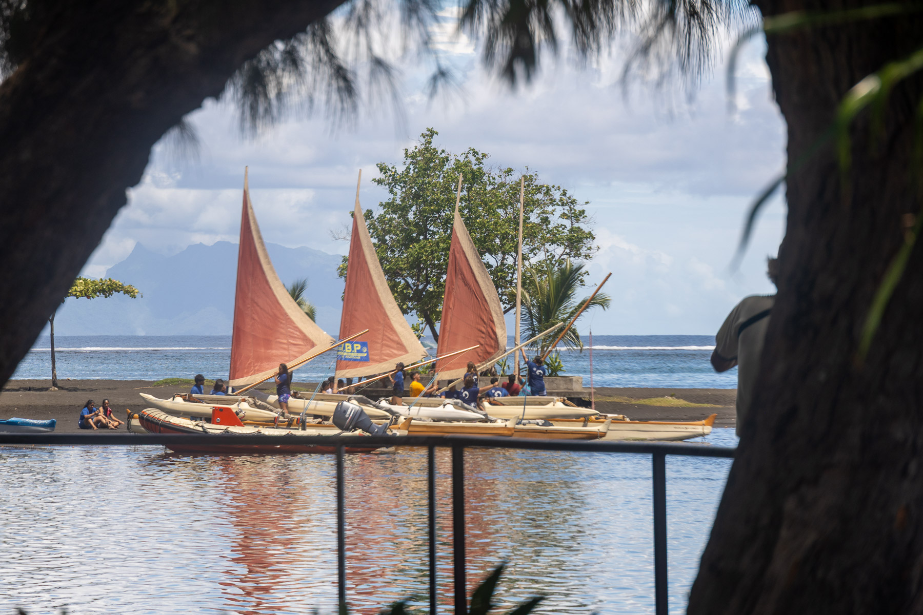
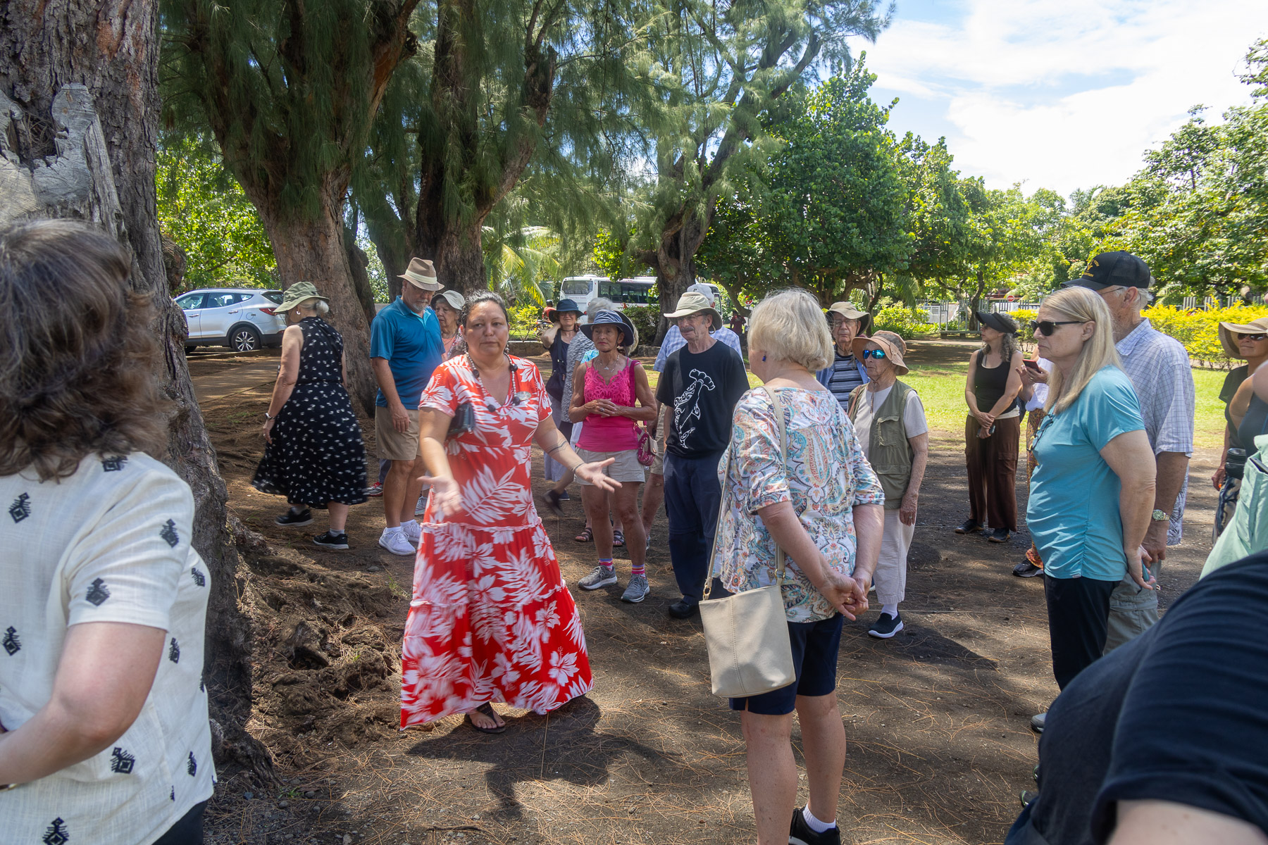
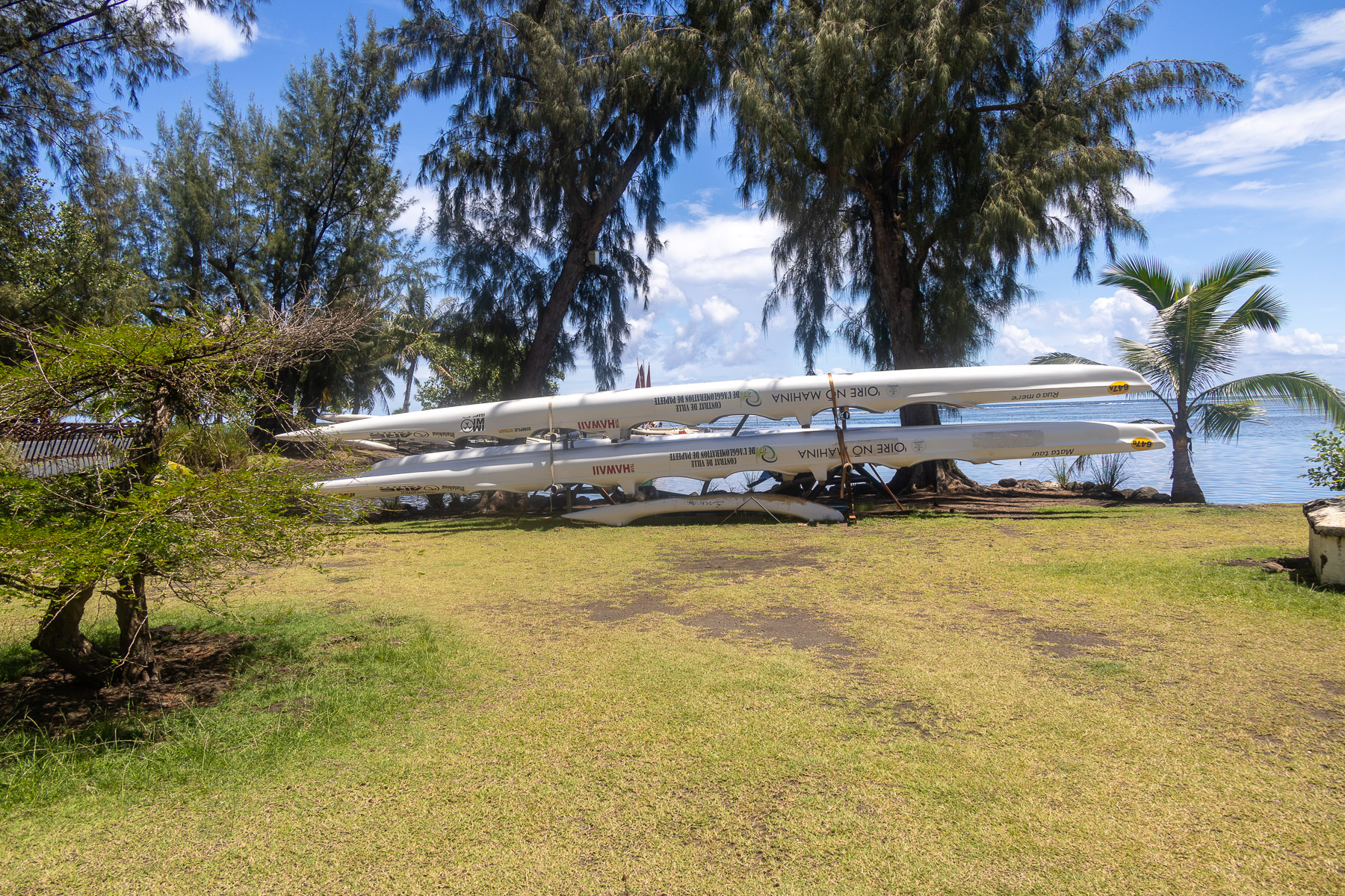
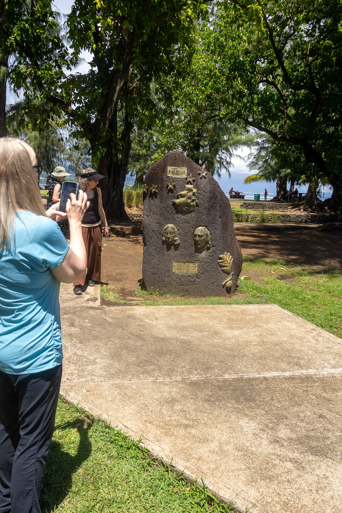
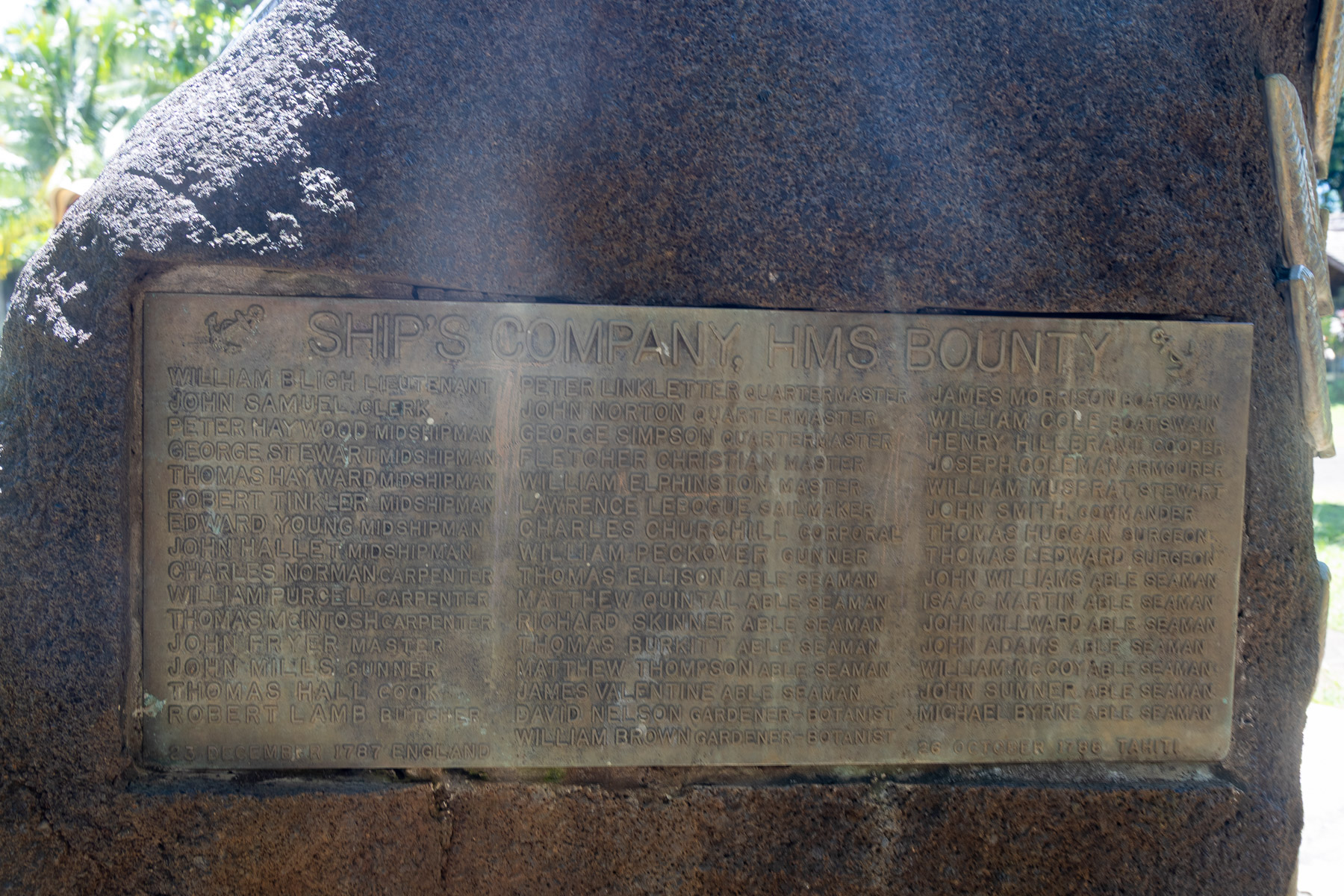
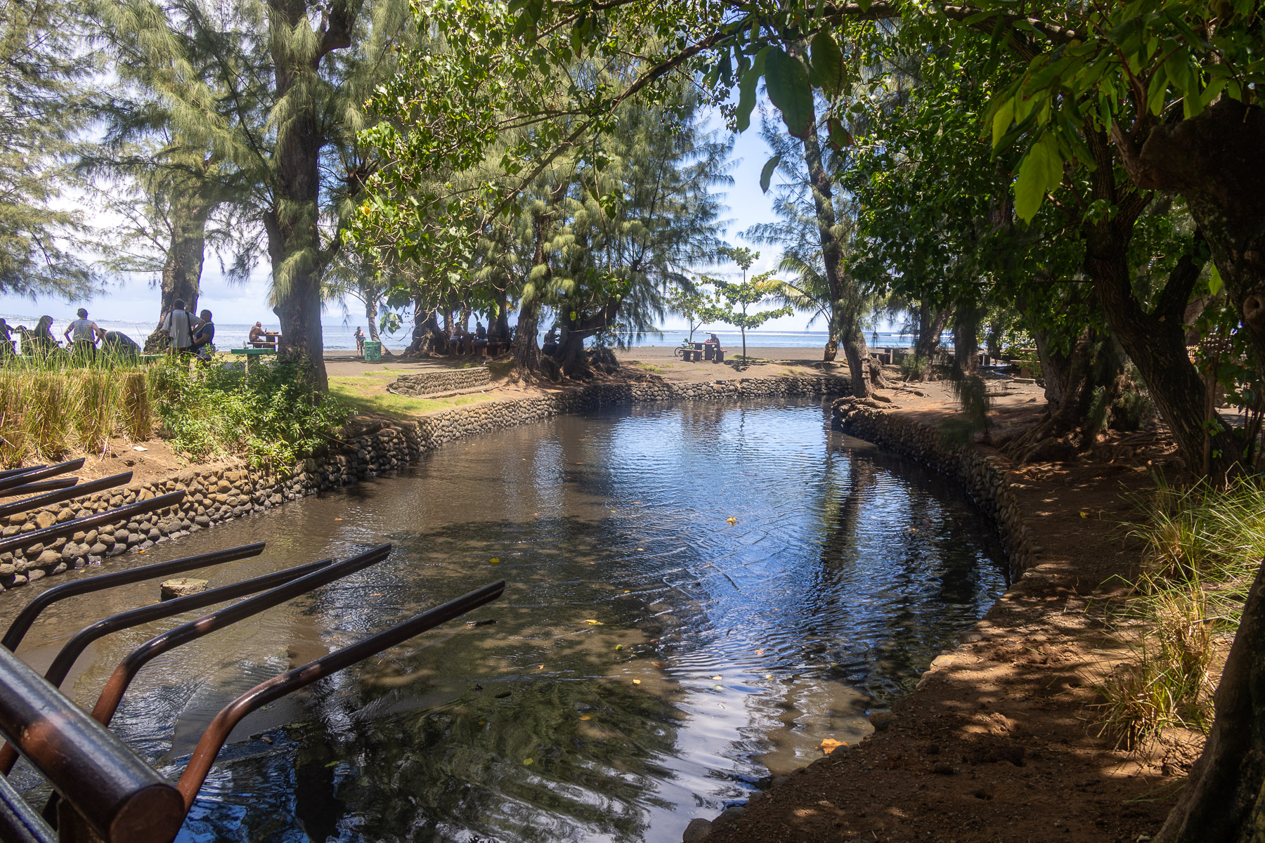
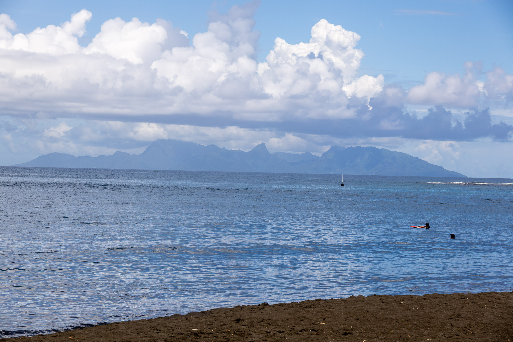
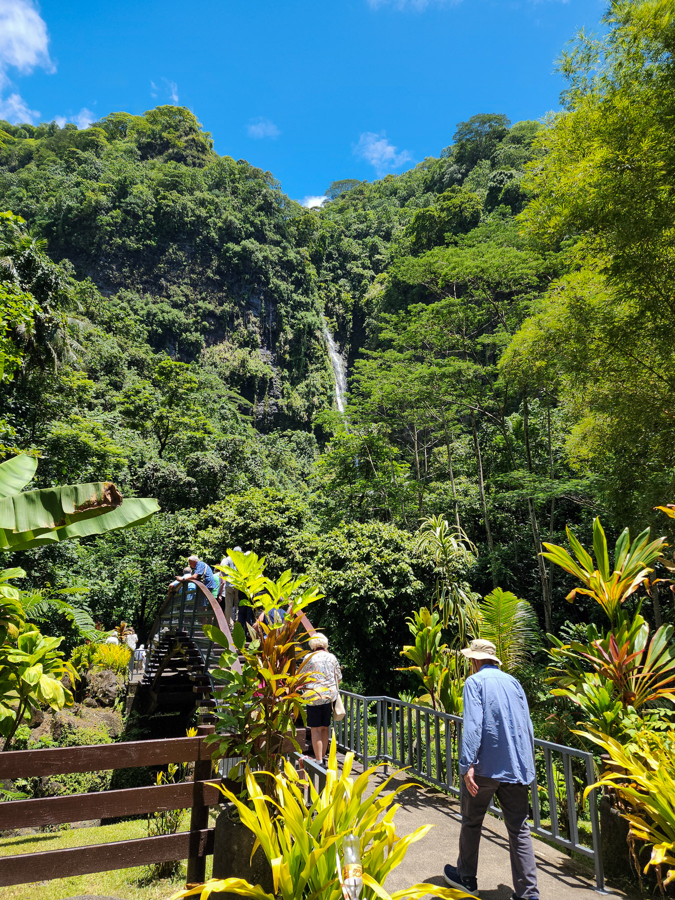
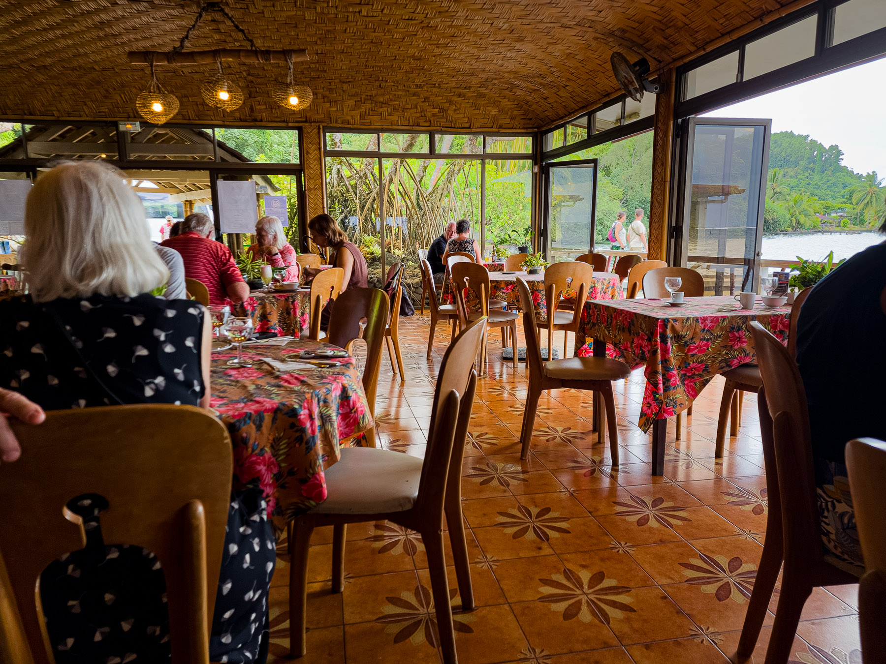
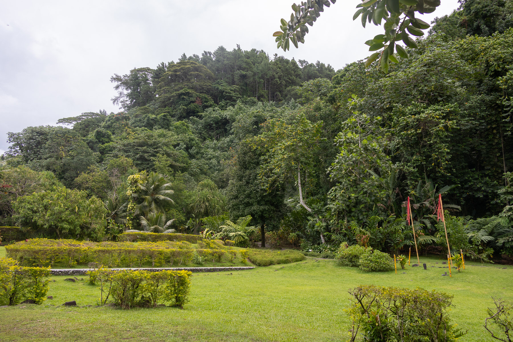
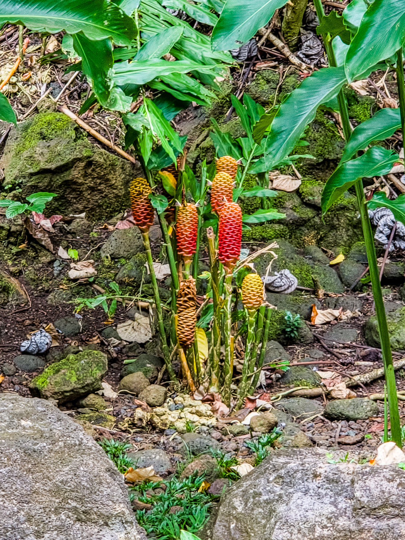
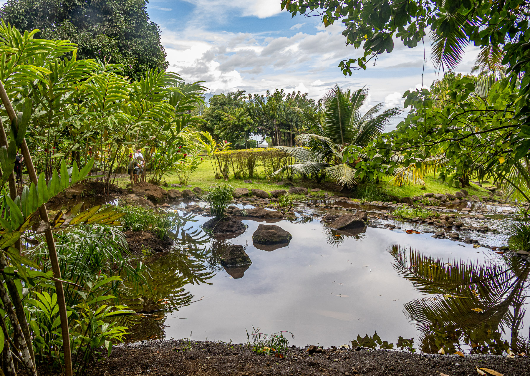
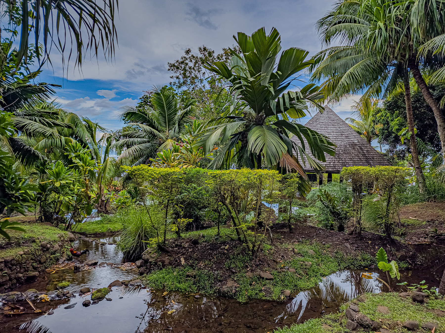
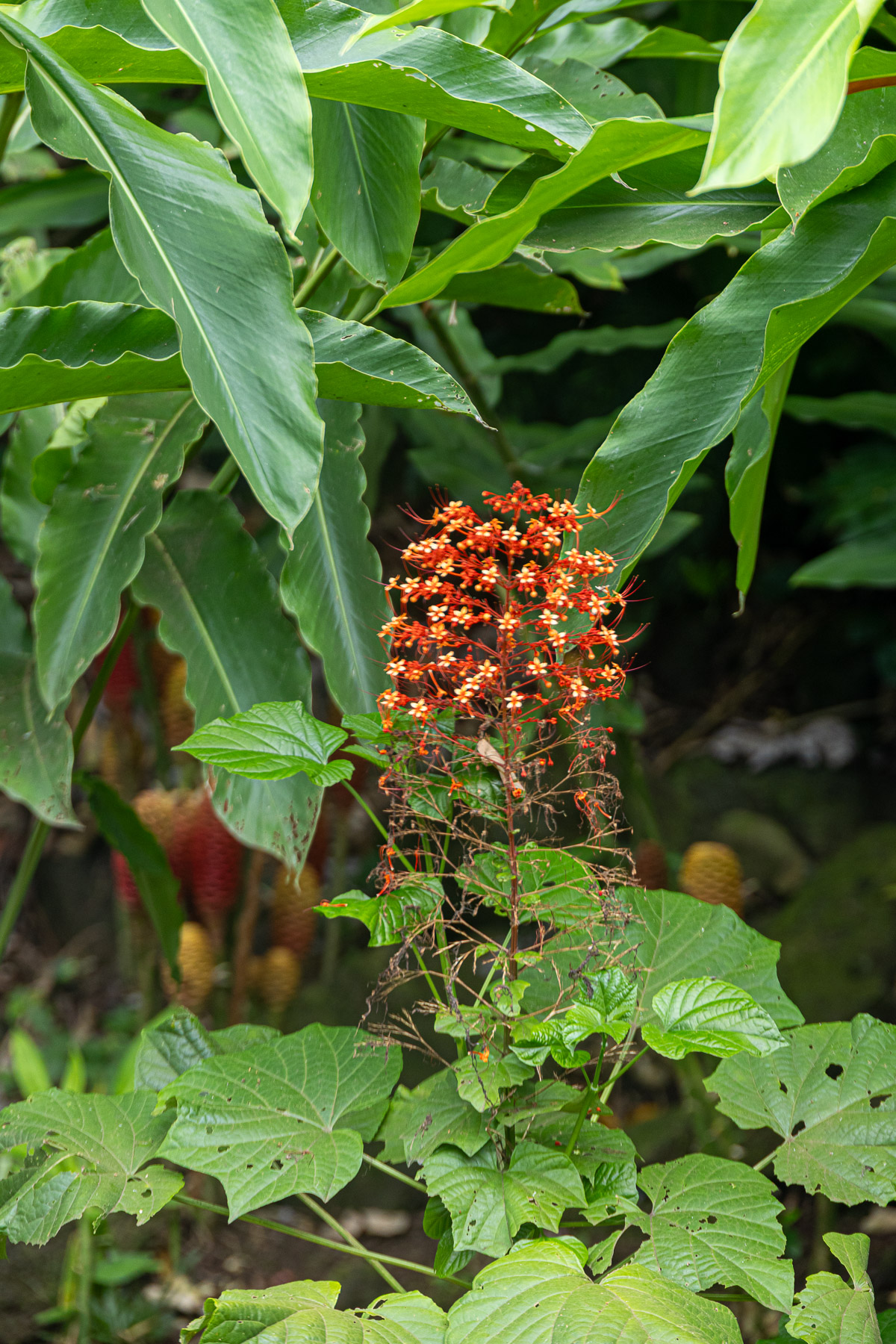
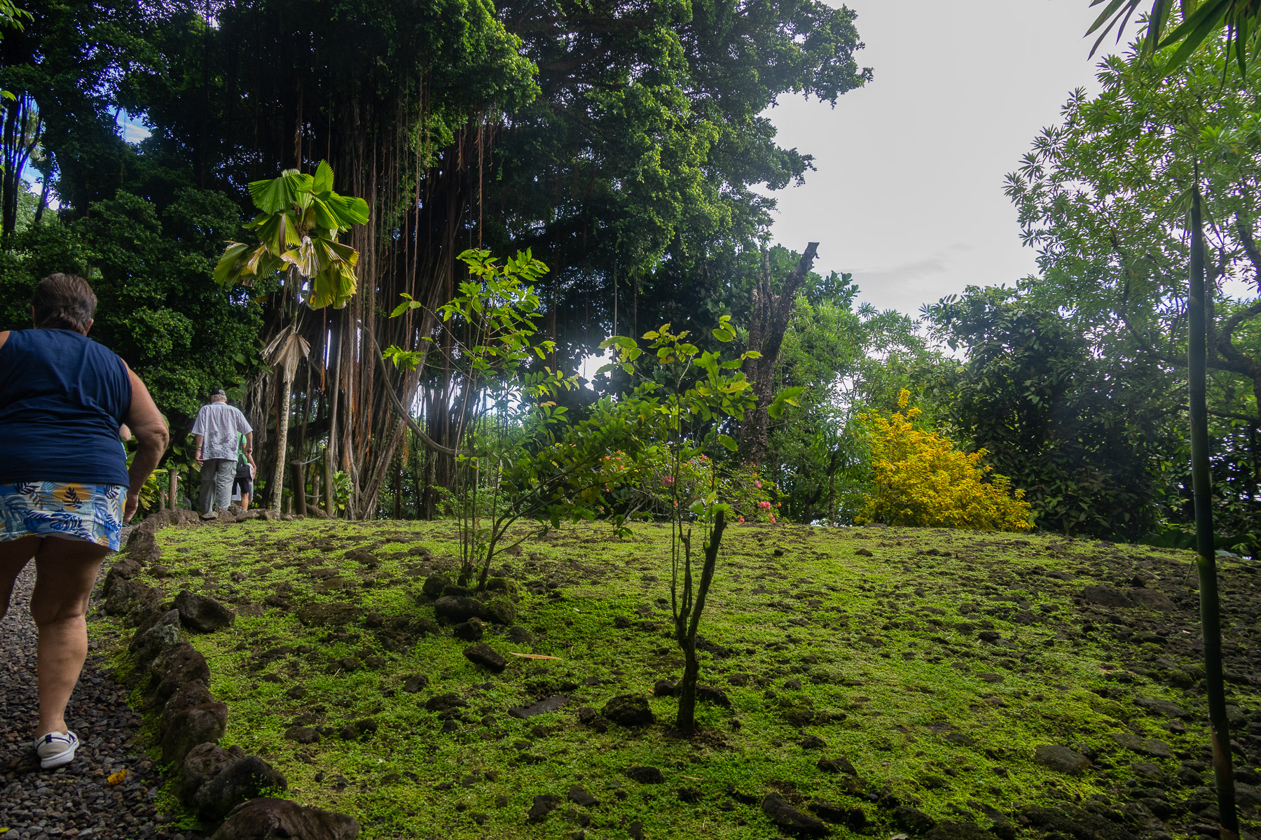
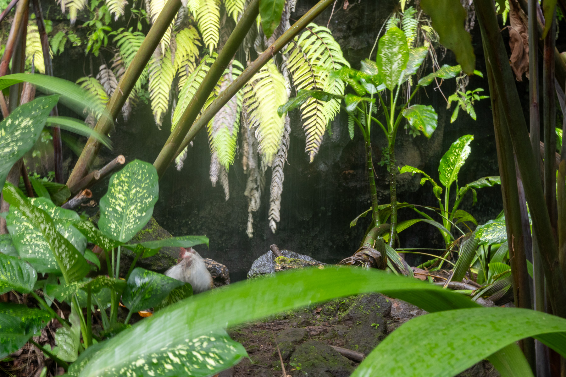
We arrive in Papeete, Tahiti about 8 AM. Since our flight was not until 10 that evening we had signed up for an all day bus tour of the island. We spent about an hour at the local market in Papeete before boarding the bus. Although it was still early in the morning, it was already pretty hot and humid.
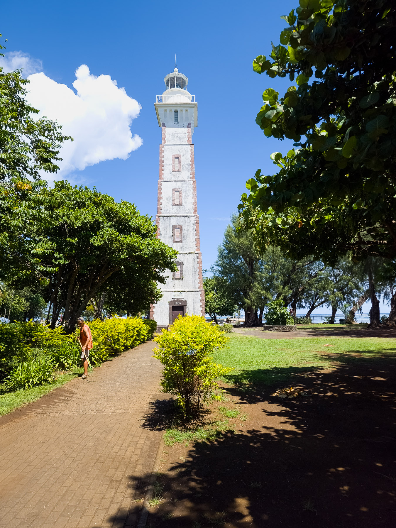
The tour encompassed some of Tahiti’s most renowned landmarks: and concludes with a transfer to the airport in time for your evening flight home. Key inclusions of the tour are:
Sat 3/8: Travel to Home